Integrated remote sensing and hydrochemical analysis of a playa lake-groundwater system in northern Chile
Katherine Markovich
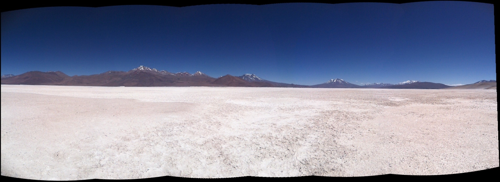
 Playa lakes in the hyper-arid Altiplano of Northern Chile support endemic and migratory species and also serve as the most economically viable source of water for copper mining in the region. An increase in future water demands combined with the possible impacts of climate change to these unique hydrologic systems motivate the need for an integrated approach to water resource management in the region.
Katie’s research utilized satellite imagery and water chemistry to infer changes to the groundwater system connecting Salar de Ascotán and Salar de Carcote. The remote sensing methodology developed as part of her project allowed for large-scale spatial and temporal monitoring of the playa lake systems, and she correlated the observed changes to climatic and/or anthropic forcings, such as changes in precipitation or pumping regimes, respectively. She integrated the remote sensing analysis with hydrochemistry to further understand the relationships between local and regional flow paths feeding the springs at the playa lake surfaces.
Ultimately her project provided further evidence connecting the salars to a proposed recharge zone, discovered a correlation between regional precipitation, surface water extent on the playa lakes, and ENSO cycles, and detected a possible volcanic influence on flow paths feeding the springs in the southern portion of Salar de Ascotán.
Advisor: Suzanne Pierce

