
Ice Sheet Holds Hidden Lake
December 5, 2022
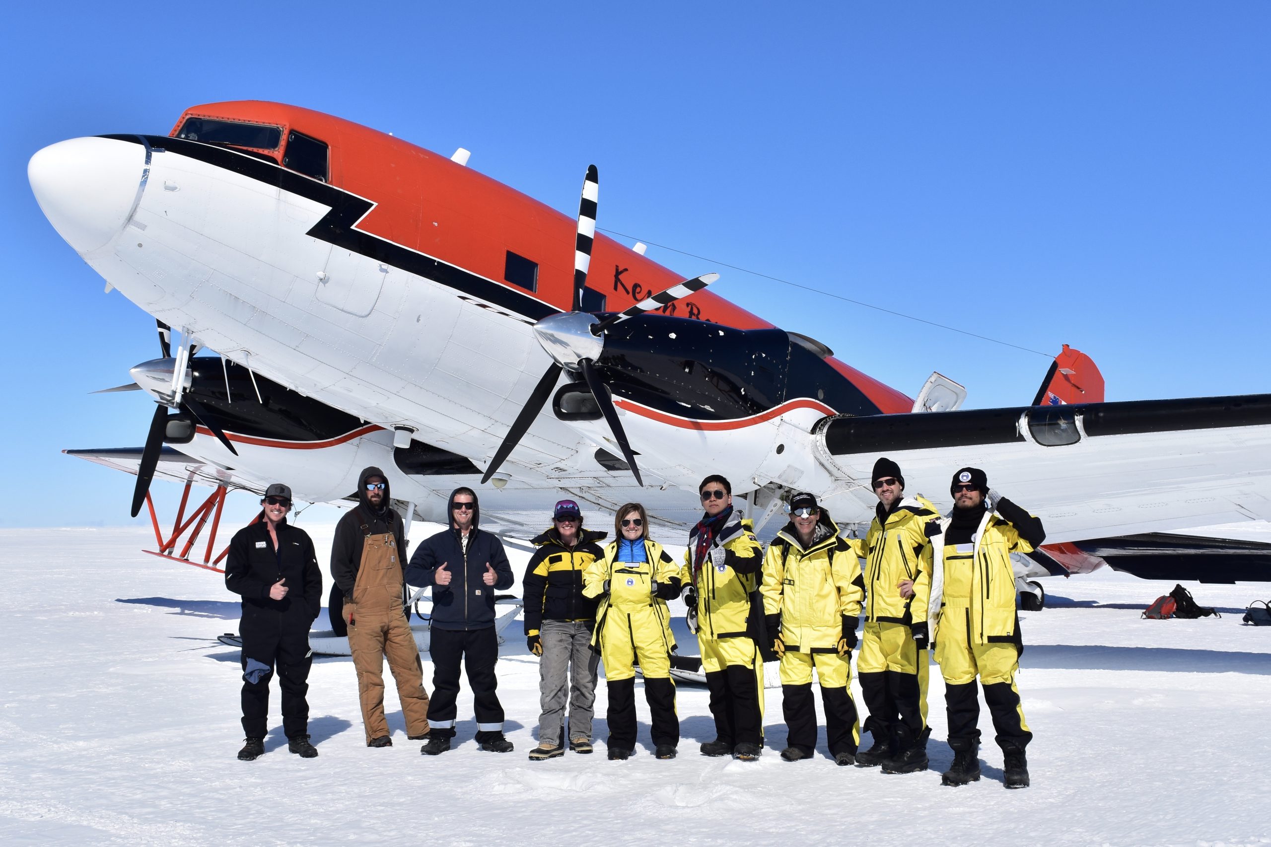
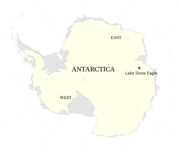
Researchers from the University of Texas Institute for Geophysics (UTIG) have discovered a city-size lake buried beneath the East Antarctic Ice Sheet. They named their discovery Lake Snow Eagle after their research plane that carried the ice-penetrating radar which enabled the lake’s discovery.
Showing up as a bright radar reflection during an aerial survey, the lake may contain a record of the ice sheet since its earliest beginnings.
“This lake is likely to have a record of the entire history of the East Antarctic Ice Sheet, its initiation over 34 million years ago, as well as its growth and evolution across glacial cycles since then,” said Don Blankenship, a UTIG senior research scientist and co-author of a study on the lake.
The study was published in Geology in May 2022.The first hint that the lake and its host canyon existed emerged when scientists spotted a smooth depression on satellite images of the ice sheet. The researchers followed up with three years of aerial surveys over the site with ice penetrating radar and other sensors.
“I literally jumped when I first saw that bright radar reflection,” said lead author Shuai Yan, a graduate student at the Jackson School of Geosciences who was flight planner for the field research that investigated the lake.
The lake is about 30 miles long, 9 miles wide and 650 feet deep. The sediments at the bottom of the lake are 1,000 feet deep and might include river sediments older than the ice sheet itself.
Moving forward, the researchers said getting a sample of the lake’s sediments by drilling into it would fill big gaps in scientists’ understanding of Antarctica’s glaciation and provide vital information about the ice sheet’s possible demise from climate change.
Back to the Newsletter