
Jackson School Rapid Response Mission Wraps Up Hurricane Harvey Surveys
September 29, 2017
By Monica Kortsha
Jackson School Science Writer
This post is third in a series documenting the Jackson School of Geoscience’s Rapid Response mission to study the coastal impacts of Hurricane Harvey. Read the first and second post.
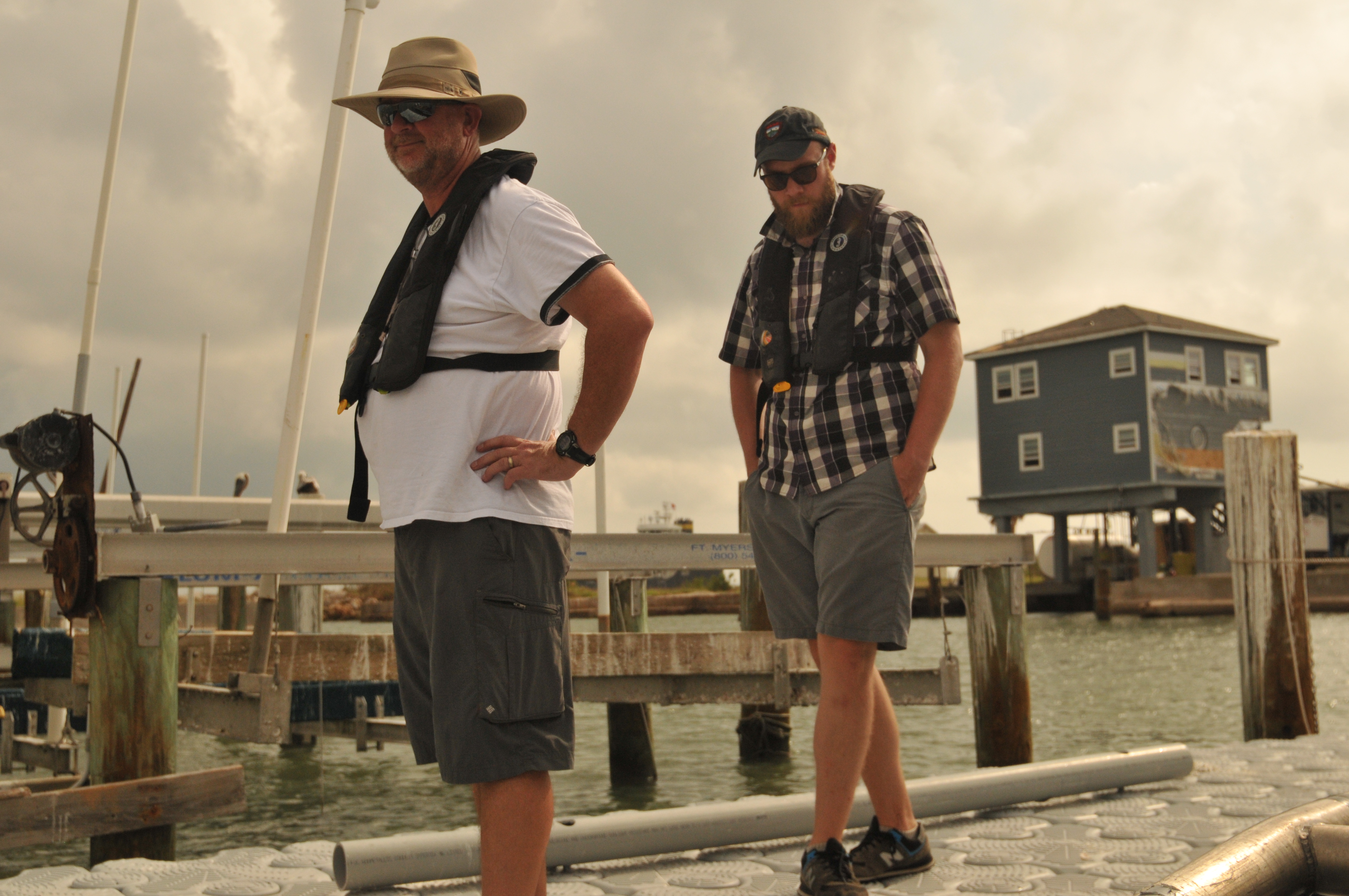
Portland, Texas – Last weekend, scientists from the Jackson School of Geosciences brought a research vessel and a suite of sonar equipment to Portland, Texas, to conduct a Rapid Response mission on how Hurricane Harvey impacted sediment on the sea floor.
That might seem like wonky, granular science (both literally and figuratively), but conducting time-sensitive geoscience research in the wake of natural disasters is what the Jackson School’s Rapid Response Program is all about. In this case, the findings could help improve the understanding the barrier island system that helps protect communities along the Texas Gulf Coast from hurricanes, and help inform future plans to restore sediment when hurricanes whisk it away.
Barrier islands are made of sediment, and big storms, like Harvey, create storm surges that can erode parts of the island away in a short amount of time. By studying how sediment on the seafloor changed shortly after the storm hit, researchers can better understand the long-term health of the barrier island system, said John Goff, a senior research scientist at the University of Texas Institute for Geophysics.
“We suspect a lot sediment was taken out of the system, which erodes out with consequences to the barrier islands,” Goff said.
Ph.D. student John Swartz, a graduate research assistant on the mission, said that, ultimately, what impacts the barrier islands impacts the people who call the coast their home.
“The barrier islands help protect everything you see over here, refineries, communities, fisheries,” said Swartz, motioning to the battered buildings on the Port Aransas coast. “If the islands weren’t here, the community would be hammered even worse.”
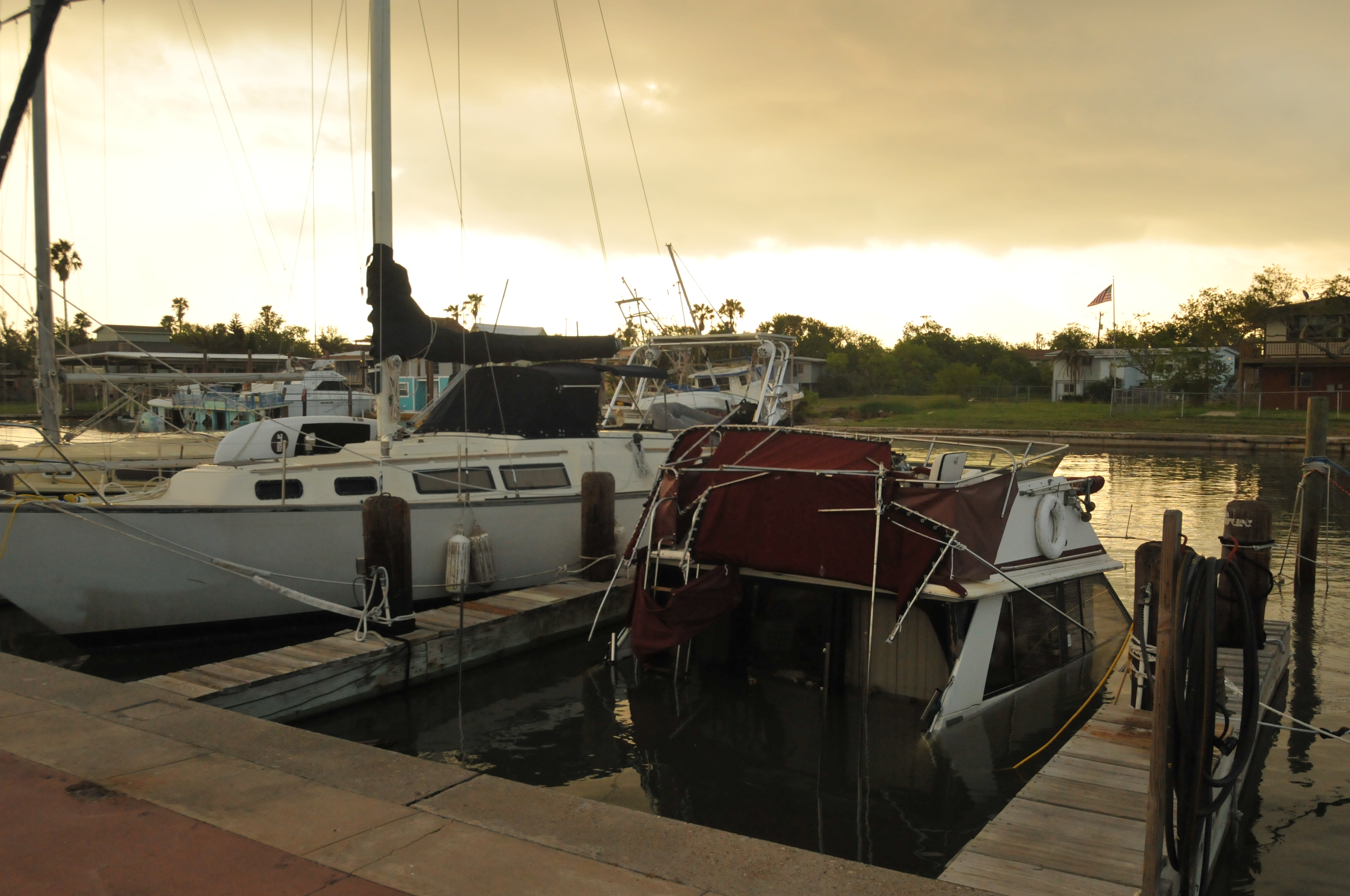
The questions that the researchers hope to ultimately answer are big and complex. But on Wednesday morning, the team was able to answer a more straightforward query they received from some boat owners at the Bahia Marina in Ingleside, Texas, where they’ve been keeping their research vessel:
“Can I safely navigate my boat out of the marina?”
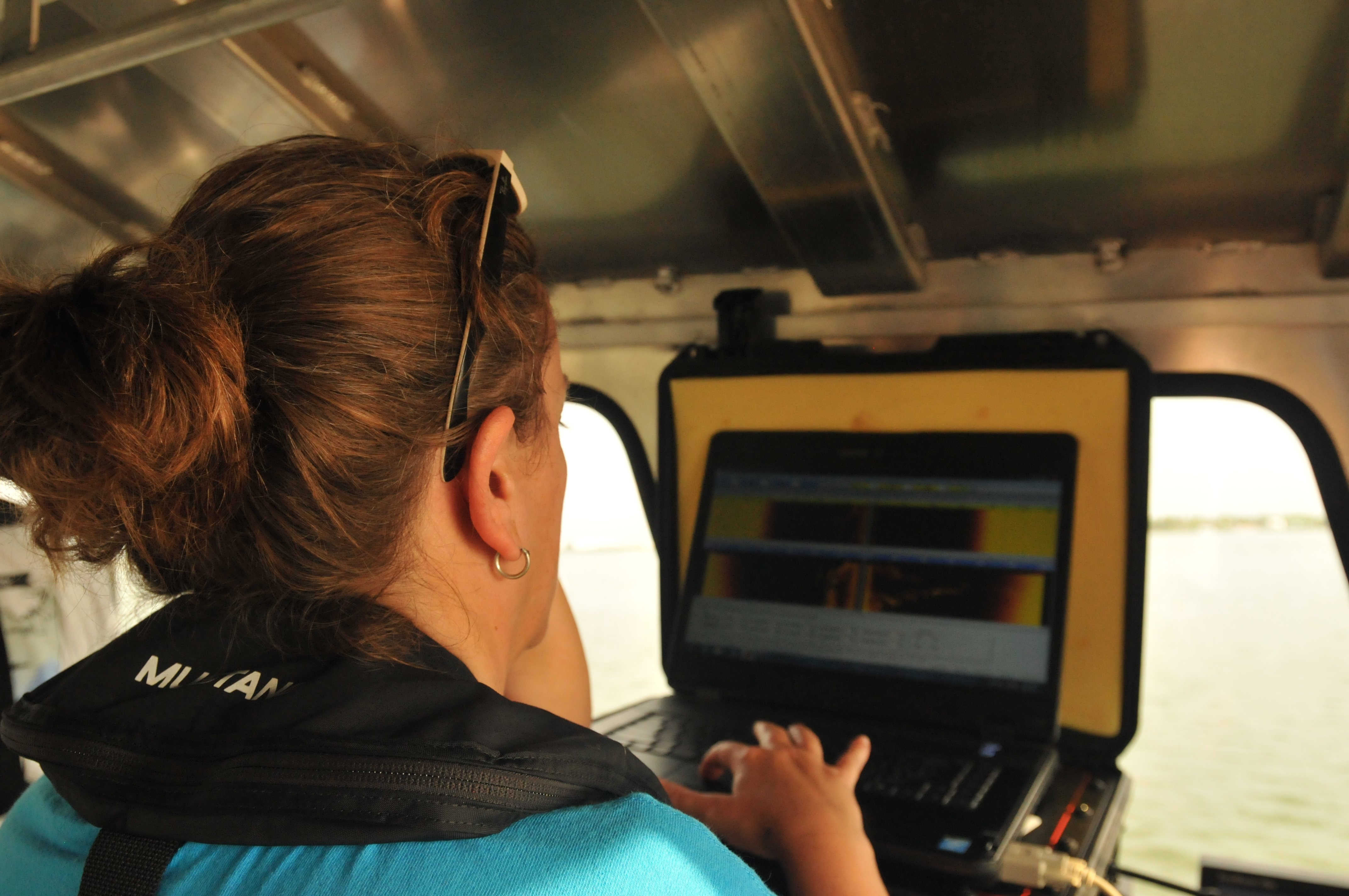
The researcher’s side-scan sonar—a device that’s often used in salvage operations, but that the team has been using to image sediment patterning on the seabed—showed that the path was clear. People could safely exit the marina, at least those whose vessels made it through Harvey.
It was a good start to the morning that was made even better when “baby CHIRP,” a miniaturized sonar device, booted up and began beaming back images showing layers of the seafloor up to 10 meters down. The device hadn’t been working the day before, and it looked like the thorough cleaning administered by Dan Duncan— a research scientist associate at the University of Texas Institute for Geophysics (UTIG)—did the trick.
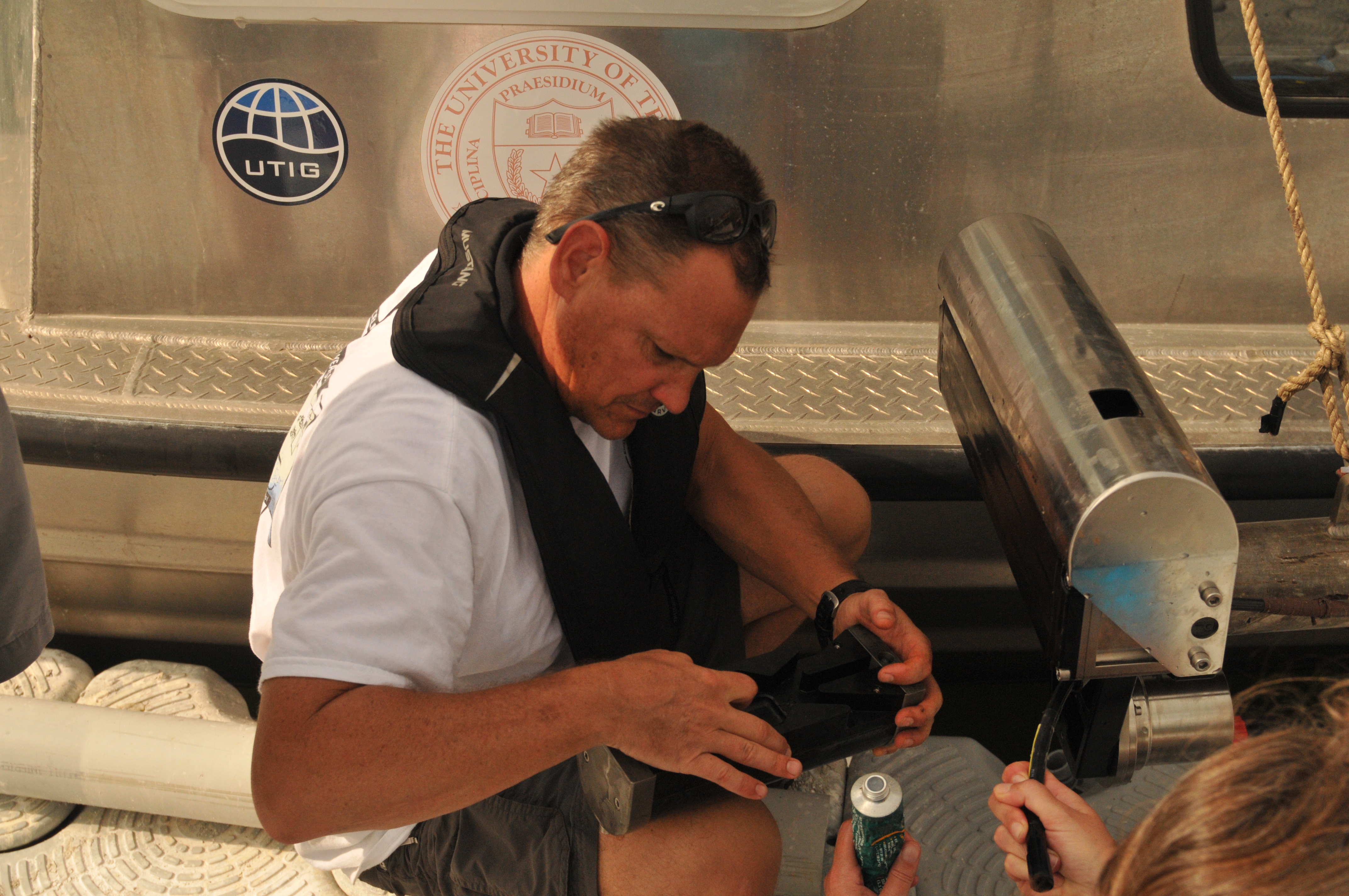
Unfortunately, after about five minutes of happily “pinging” the seafloor with sonar, the baby CHIRP stopped processing the return pings, preventing data from being collected. That was shortly followed by wiring issues affecting the multibeam sonar—a device used for measuring different seafloor depths. Duncan rewired the sonar to run from a different power source so the team could fit in about 45 minutes of surveying in Aransas Bay.
The team then turned around the research vessel to head back to Bahia Marina. They’ll head back to Austin the next day.
“That’s often how it goes with offshore work,” said Swartz. “A lot of electronics, a lot of seawater, a lot of cables, means lots of potential room for things to go wrong.”
But the team wasn’t that concerned about the equipment issues; they still had three-days-worth of successful surveying data, and a host of comparison data collected from the same region collected during the Marine Geology & Geophysics field courses in 2009 and 2012.
Back in Austin, they’ll begin the work of comparing the new data sets to the old, and searching for new insights on how hurricanes impact barrier island systems, and ultimately, the Texans who depend on such system for protection from big storms.
Support this Rapid Response mission to the Texas Coast by making a gift today.