
Shaking West Texas
November 12, 2020
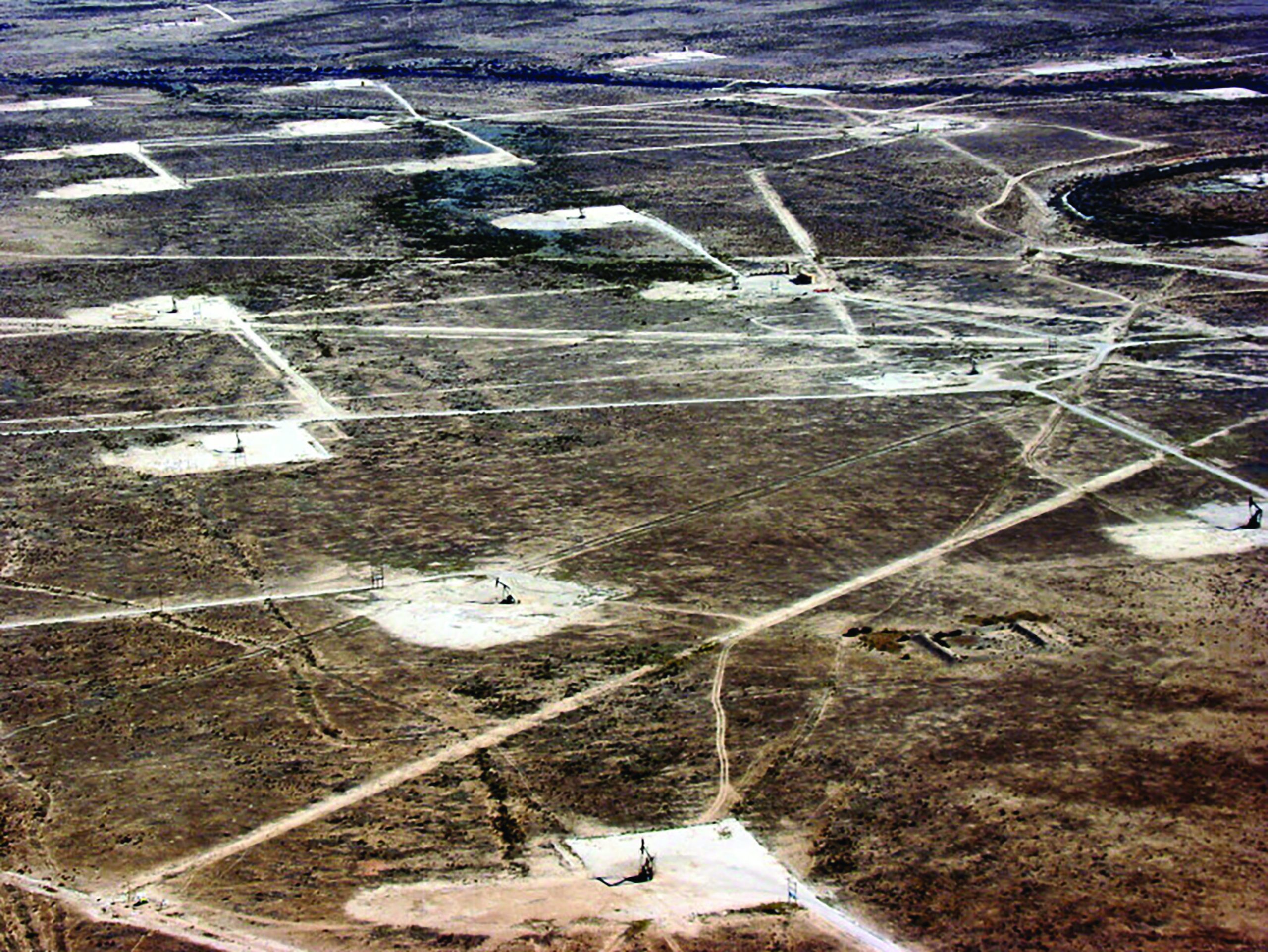
A new analysis of historical seismic data has found that earthquake activity in West Texas near the city of Pecos has increased dramatically since 2009.
The study, published in the Journal of Geophysical Research: Solid Earth on Nov. 4, 2019, leverages old, unmined data to track seismic activity over nearly 20 years — much further back than other studies — to show that activity has increased during the past decade in an area of the Permian Basin. Although researchers have generally thought that to be true, the statewide TexNet earthquake monitoring system has been gathering data since only 2017, making it impossible to definitively determine when the cluster of seismic activity around Pecos really began.
The researchers were able to extend the seismic record by turning to the older TXAR system near Lajitas, Texas, about 150 miles to the south. TXAR is an array of 10 seismographs installed in the 1990s by scientists at Southern Methodist University to help track nuclear testing across the world, said lead author Cliff Frohlich, a senior research scientist emeritus at the University of Texas Institute for Geophysics.
“Especially for these West Texas earthquakes, we would like to get some information about when they started,” Frohlich said. “I really saw this as a way to bridge the gap before TexNet.” The TXAR system is some distance from Pecos, but Frohlich said the equipment is highly sensitive and that the area is remote and seismically very quiet, making the system perfect for picking up vibrations from explosions across the world or earthquakes 150 miles away.
Scientists were able to document more than 7,000 seismic events near Pecos that were determined by the team to be earthquakes. Multiple events first started occurring in 2009, when 19 earthquakes of at least magnitude 1 were documented. The rate increased over time, with more than 1,600 earthquakes of magnitude 1 or greater in 2017. Most were so small that no one felt them.
The study shows a correlation between earthquake activity and an increase in oil and gas activity, but it does not make an effort to directly tie the two together as other studies have done. This study is the latest in a comprehensive effort to determine what is causing an increase in seismic activity in Texas and how oil and gas operations can be managed to minimize the human-induced element. The state approved the TexNet system in 2015. It is operated in tandem with research efforts by the Center for Integrated Seismicity Research (CISR).
“The obvious next step is exactly what the University of Texas is doing — conducting these careful studies on the relationship between earthquakes and their human and natural causes to build an integrated understanding,” said coauthor Peter Hennings, who leads CISR and is a research scientist at the Bureau of Economic Geology.
Back to the Newsletter