
Jackson School Researchers Converge on Harvey Destruction
November 20, 2017
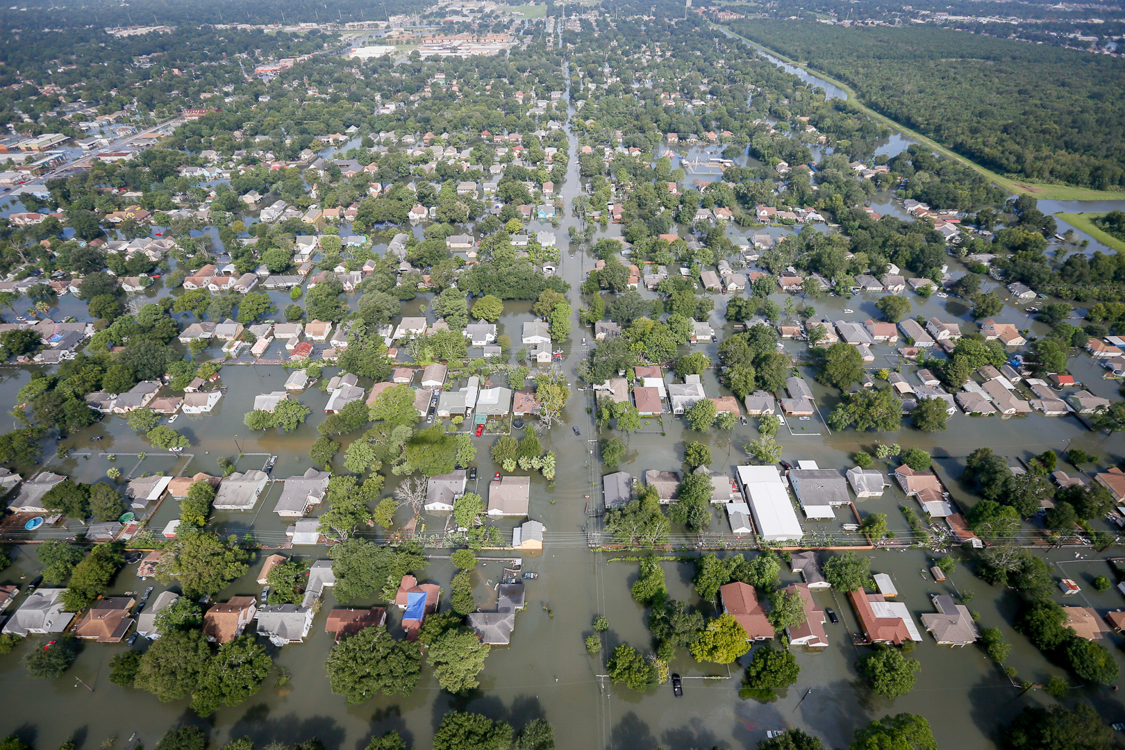
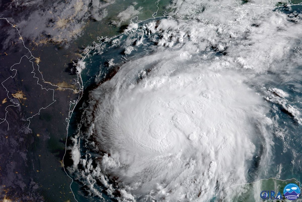
Shortly after Hurricane Harvey devastated Texas communities in
August 2017, Jackson School of Geosciences researchers began drawing up plans to determine how Harvey impacted the Texas coast and bay system.
The projects are part of the school’s Rapid Response program, which supports research in areas recently affected by natural disasters.
“As geoscientists, it is critical that we use our expertise to help find ways to mitigate the effects of such catastrophic weather events, particularly right here at home in Texas,” said Jackson School Dean Sharon Mosher. “This research will investigate the impacts of abrupt, catastrophic geoscience processes on coastlines. Most importantly, this research will help determine the best ways to deal with many coastal issues in the aftermath of Hurricane Harvey, and how we might better prepare for such events in the future.”
In the days following the storm, researchers at the Bureau of Economic Geology began an airborne LIDAR and imagery survey of parts of the Texas coast. The LIDAR data and imagery is being used to assess storm impacts on the beach and dune system along the Texas Gulf shoreline, identify debris and infrastructure damage in central Texas bays, and establish a baseline for monitoring beach and dune recovery in the months and years to come.
These surveys are part of the General Land Office’s comprehensive response to the ongoing effects of Hurricane Harvey.
At the time the Newsletter went to print, researchers at the University of Texas Institute for Geophysics were resurveying the Lydia Ann Channel and Aransas Pass with marine geophysical instrumentation, and collecting sediment samples. Researchers believe that these locations have been subjected to substantial and measurable erosion and sediment transport by the storm surge and its ebb, and that investigating these locations will provide valuable insights into the impact of storm surges on barrier and estuarine systems.
Jackson School researchers and students have previously surveyed these areas during their Marine Geology & Geosciences field camps in 2009 and 2012, which is providing important baseline data to compare with the post- Harvey findings.
Other Jackson School Rapid Response projects were being discussed when the Newsletter went to press.
Back to the Newsletter