
Where Geoscientists Are Made
June 15, 2026
Every May, Jackson School undergraduates trade the classroom for some of the most spectacular geology on the continent. This year, a total of 125 students took part in our three field camps, gaining hands-on experience that no lecture hall could provide.
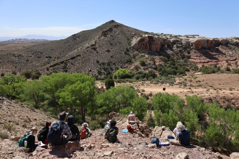
GEO 660, the school’s capstone field geology course, takes students to geological sites across the American Southwest, from the Permian Basin of West Texas and the volcanic landscapes of New Mexico to the canyon country of southern Colorado. Students measure sections, construct geologic maps, interpret field relationships, and build the kind of observational skills that can only come from time on the ground.
As one GEO 660 alumnus put it: “We really got to see what a geologist does. When I tell people I study geology at UT, I tell them it’s a lot more complex than just studying rocks. And now it’s a lot easier for me to explain what a geologist does.” — Brandon Cooper, GEO 660 University of Texas
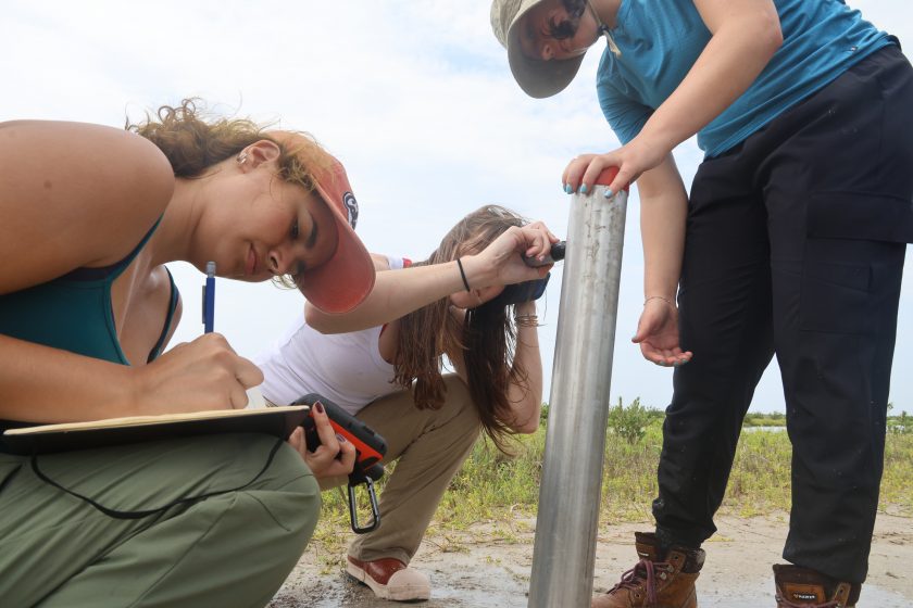
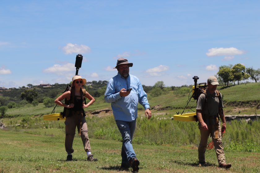
GEO 660 is the cornerstone, but it’s not alone. The Marine Geology & Geophysics (MG&G) Field Camp takes students offshore into the Gulf of Mexico to acquire and interpret seismic and sediment data from research vessels. The Hydrogeology Field Camp trains students in water sampling and field methods across diverse environments, from rivers and cenotes to the Jackson School White Family Outdoor Learning Center. Together, these three programs represent one of the most comprehensive field education offerings in the country.
The core mission has stayed the same since UT’s first field camp in 1917: learn how to think like a geoscientist by witnessing and interpreting geology in the field. In an era defined by climate change, water security, and energy transition, that ability is not a nicety. It is essential.
If you’d like to help put the next generation of Jackson School geoscientists in the field, we invite you to make a gift to the Friends of Student Field Experiences Endowment.