
Explaining the Andes
March 16, 2023
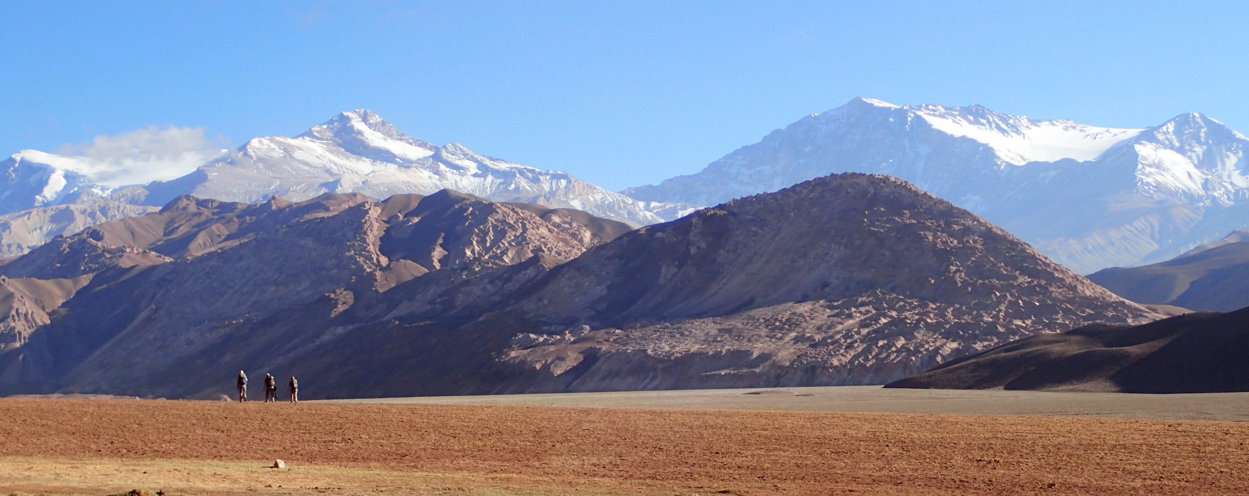
Based on their shared geologic history, one would expect the topography of the Andes mountains to be relatively consistent from one end to the other.
But reality defies expectation: the 8,000-kilometer long mountain belt spectacularly widens and narrows as it winds from north to south along the western edge of South America.
In search of answers that could help explain these undulations, Jackson School of Geosciences Professor Brian Horton and colleagues carried out a simple exercise. They measured the distance between tectonic features and topographic changes over 150 transects across the mountain belt. The results showed that multiple tectonic drivers appear to shape the mountain range as it exists today. Areas of flat slab subduction and ridge subduction were associated with widening of the mountains’ deformation zone. Inherited tectonic features were associated with both widening and narrowing.
Although the study focused on spatial connections, the researchers said that this is the first step to more in-depth investigations of how mountains grow during subduction. The results were published in the journal Geology.
Back to the Geoscientist