New Method for Measuring Groundwater Shows California’s Aquifers Remain Depleted
February 13, 2025

The greater Los Angeles area has long been subject of intense seismographic monitoring. A network of highly sensitive seismometers peppers the region on a constant vigil for earthquakes. Now researchers have developed a new way to use that existing infrastructure and its decades of data to estimate water levels in the region’s aquifers, which serve some 10 million residents of Los Angeles and Orange counties.
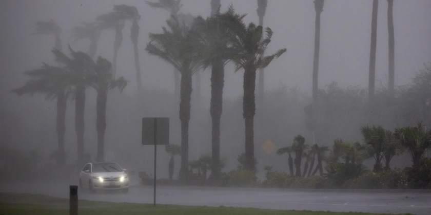
The researchers analyzed the impact of 2023’s historic series of atmospheric river storms, which dumped more than 140% of California’s 20th-century average annual precipitation in just three months. Those rains, combined with torrential rainfall in Southern California from Hurricane Hilary in August 2023, nearly refilled surface reservoirs and shallow aquifers depleted by decades of drought and groundwater extraction, the Feb. 14 study in Science shows.
But even a year of extreme precipitation failed to replenish aquifers located 50 meters or more below the surface. Unlike the shallow aquifers, these deeper aquifers regained only about 25% of the groundwater they had lost since 2006.
“Although 2023’s huge storms and Hurricane Hilary helped restore the surface reservoirs, we found that there is still substantial depletion in deep aquifers,” said lead study author Shujuan Mao, assistant professor at the Jackson School of Geosciences at The University of Texas at Austin. “It appears that a single epic storm season is not enough to restore the groundwater depletion accumulated over the recent droughts. It will take many more wet years for the deep aquifers to fully recover.”
Mao completed most of the work as a George A. Thompson Postdoctoral Fellow in the Doerr School of Sustainability at Stanford University.
New method
With guidance from geophysicists Gregory Beroza and William Ellsworth, Mao developed the approach and a new “Seismic Drought Index” for quantifying water deficits at different depths. The index values largely reinforce what water managers already know – recharging deep aquifers can take many years – but may provide a straightforward metric for lay audiences who might assume the heavy rains mean water supplies are fully restored.
Ellsworth described the new method as a “revolutionary” tool for measuring groundwater at high resolution using decades of seismic vibrations traditionally thought of as “noise” by the seismological community.
“We can use the ambient seismic vibrations and analyze the speed of seismic waves to sense the aquifers. These are vibrations that are going on in the earth all the time from all sorts of different sources,” including wind, traffic, and ocean waves, explained Ellsworth, a research professor emeritus of geophysics at Stanford. Ellsworth was surprised to see how well the minute changes in seismic wave speeds can be measured to monitor groundwater levels. “The match is remarkable,” he said.
Traditionally, measuring groundwater levels has required drilling deep wells. A dedicated monitoring well can cost between $100,000 and $200,000 and can only measure in a single location, Mao explained. The new seismic method can measure entire basins at once, across different depths down to 800 meters (about half a mile), and over a period of decades.
“This new technology is potentially game-changing for groundwater management in that it moves us to a possible future where we can measure groundwater recharge – how much there is and where it’s going – much as we do with stream gauges for surface water,” said Beroza, a professor in Earth Science in the Doerr School of Sustainability.
To better understand its aquifer systems and support sustainable groundwater management, California has been mapping geology in key groundwater basins since 2021 down to about 1,000 feet using airborne geophysical instruments. But these surveys do not reveal past or present groundwater levels.
“We realized that there was a more affordable way to measure the groundwater dynamics. The seismic infrastructure is already in place and the data has been captured continually for decades,” Mao said. “It’s a buy-one-get-one-free technology.”
Additional co-authors include Yujie Zheng, an assistant professor of geophysics at the University of Texas at Dallas.
This story was adapted from a press release by Stanford University. You can read their original coverage here.
