Penetrating Ice on Earth and Beyond
October 16, 2023

Scientists at the University of Texas Institute for Geophysics (UTIG) have developed a radar technique that lets them image hidden features within the upper few feet of ice sheets. The technique can be used to investigate melting glaciers on Earth as well as detect potentially habitable environments on Jupiter’s moon Europa.
The near-surface layers of ice sheets are difficult to study with traditional airborne or satellite ice- penetrating radar. That’s because much of what’s scientifically important happens too close to the surface to be accurately imaged.
The new radar technique combines two different radar bandwidths and looks for discrepancies as a way of boosting the resolution.
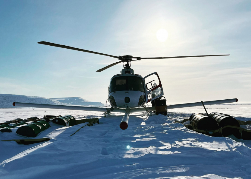
To test the new technique, the team flew radar surveys over the Devon Ice Cap in the Canadian Arctic where they mapped a slab- like layer of impermeable ice near the surface.
“The same thing applies for detecting layers with an orbiting radar at ice-covered ‘ocean’ worlds like Jupiter’s moon Europa,” said Kristian Chan, a graduate student at the Jackson School of Geosciences who devised the technique
Chan is part of a UTIG group that is developing a radar instrument called REASON, which will launch aboard NASA’s Europa Clipper in 2024. The research was published in the journal The Cryosphere.
Back to the Geoscientist