Paddling Down the Pecos into Epic Geology
November 10, 2015
A first-hand account told through pictures and words of the GEO383M 2015 (Carbonate Petrology) class fall trip: The Cretaceous Comanche Shelf to Maverick Intrashelf Basin Transect.
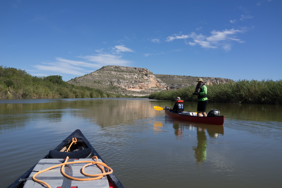
Texas boasts some of the most remarkable carbonate geology in the world, with its well-documented Guadalupe Mountains Permian exposures and the extensive Cretaceous Comanche Shelf carbonates of Central Texas. One of the best-kept secrets of Texas geology is the 50-mile-long cross section of uppermost Albian carbonates of the Fort Lancaster/Segovia-Devils River-Salmon Peak that is exposed along the canyons of the Lower Pecos River.
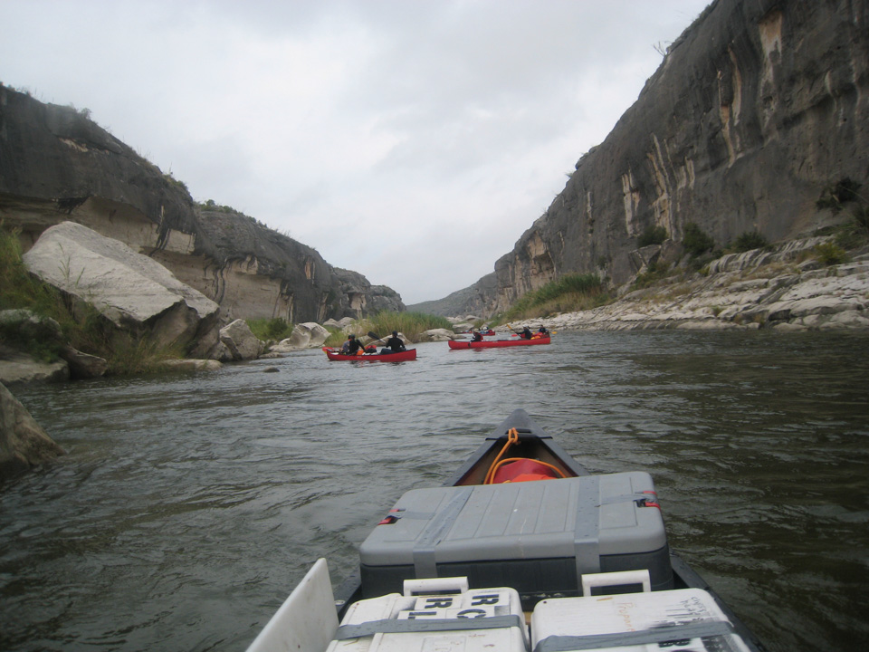
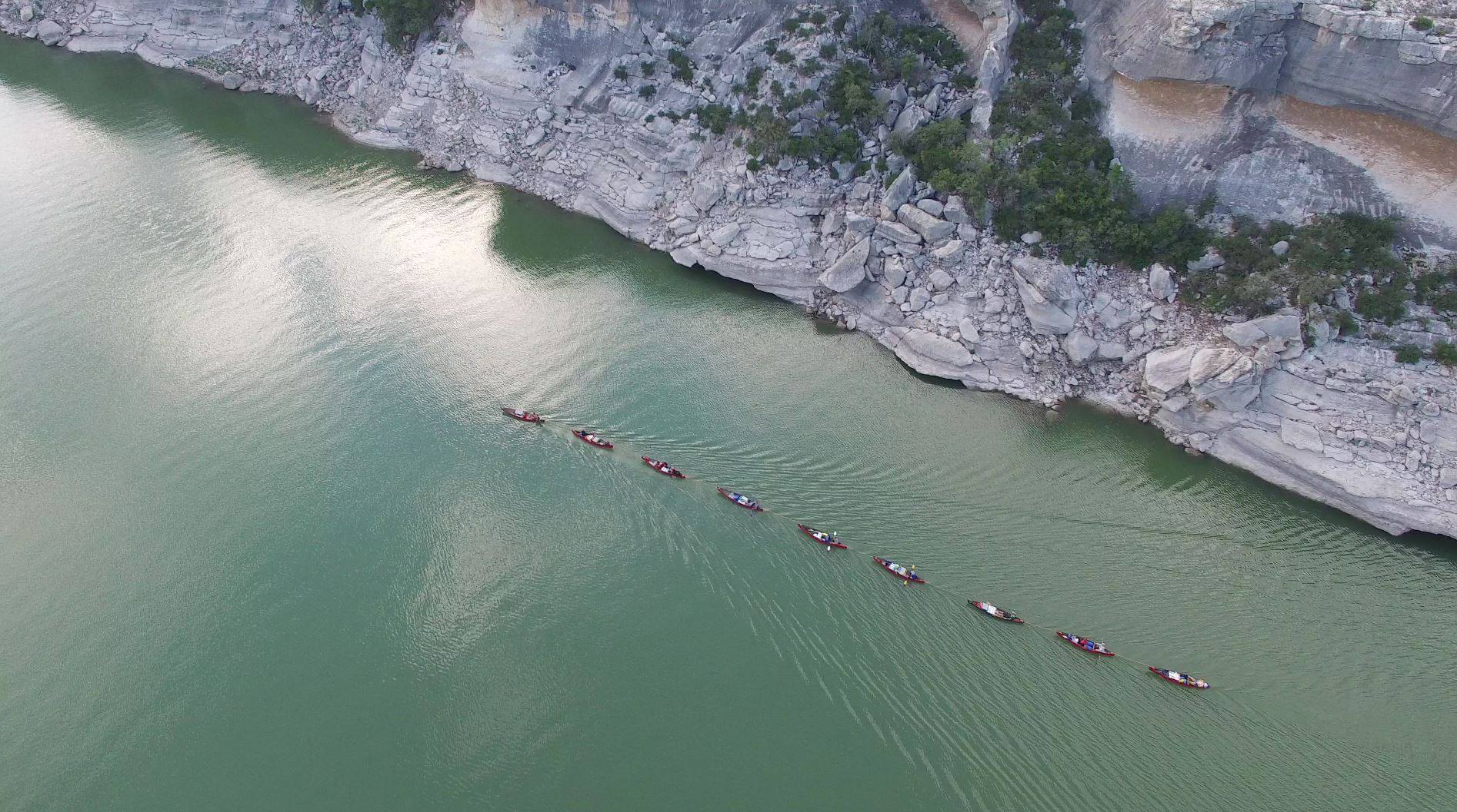
The Carbonate and Evaporite Petrology class (GEO383M) typically visits localities like the Guadalupe Mountains and Paradox Basin—also called Death Valley – for its fall excursion. But this year, as in 2010, the class made the epic journey down the lower canyons of the Pecos more or less the only way it can be done: in canoes.
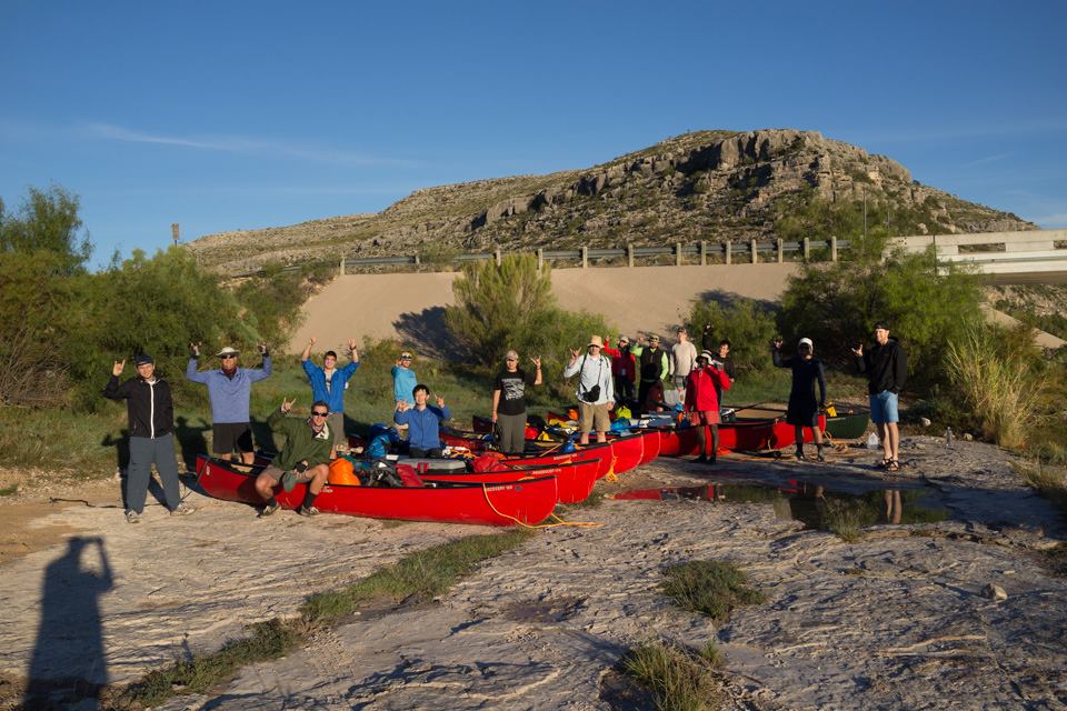
This year’s trip included 14 graduate students (John Bucholz, Peter Carlson, Nick Danger, Nick Ettinger, Mohammed Fallatah, Kelly Hattori, Li Liu, Kyle McKenzie, Peter Soto-Kerans, Nathan Tinker, and Hualing Zhang), including three carbonate graduate students with previous experience on the river, Jeff Sitgreaves, Ben Smith, and Kris Voorhees. Chris Zahm, a research scientist from the Bureau of Economic Geology with extensive experience in the structural evolution of the area, was another trip participant. Charlie Kerans, the instructor and trip leader, began running trips with two other Texas alumni, Laura Zahm and Bill Fitchen, in 1995. Much has changed since 1995 in terms of our understanding of the region, but its wild river setting is still the most compelling and unforgettable component.
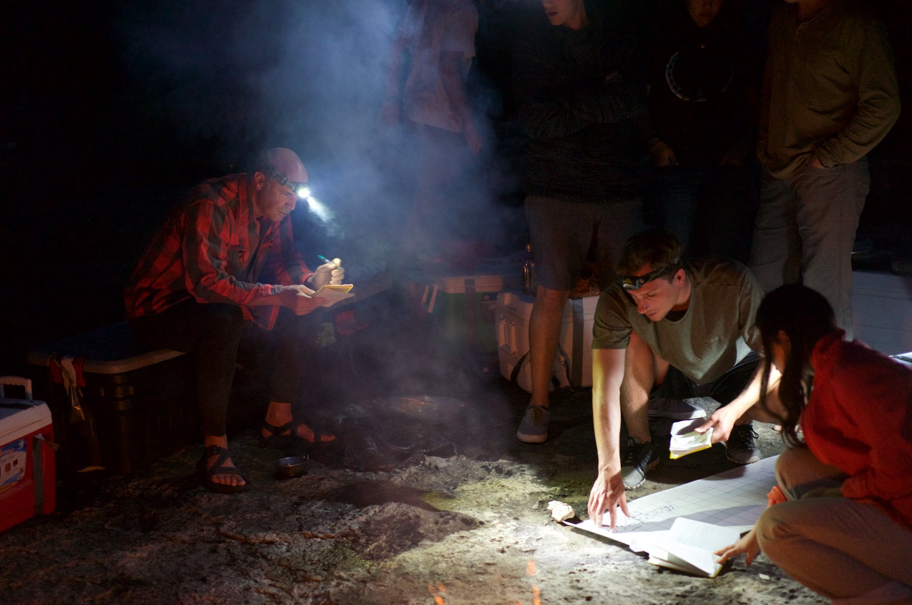
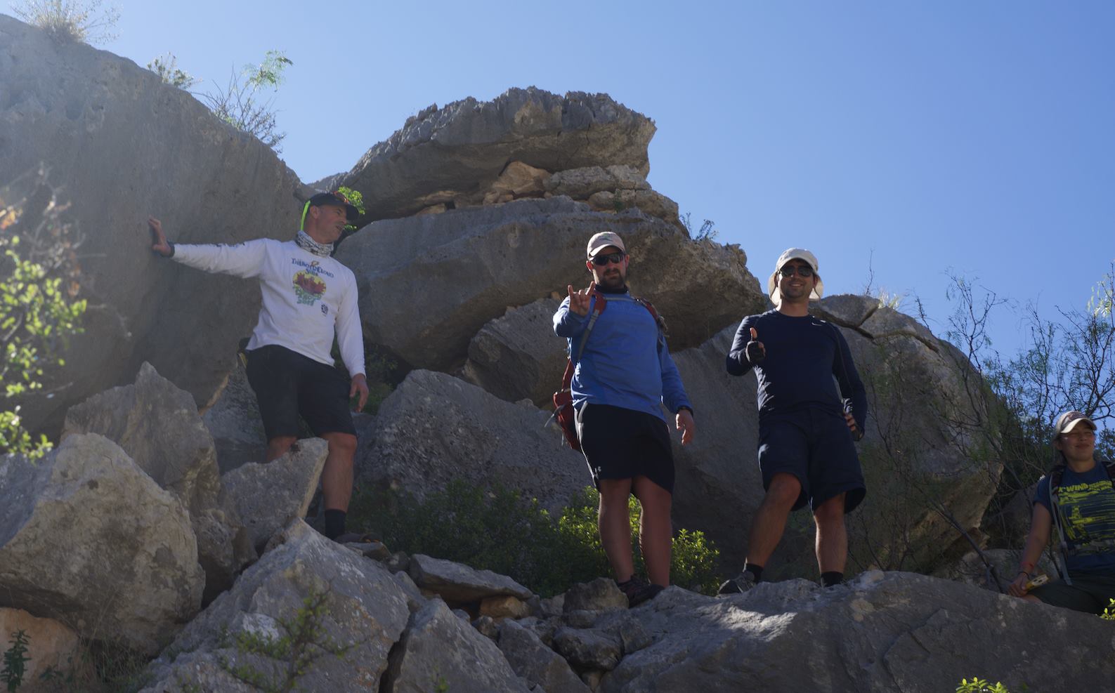
The main geologic message of the trip is the detailed view of a carbonate ramp to intrashelf basin profile at true scale, as witnessed day-in and day-out for six days. The distinct signature of eustatic and biotic drivers that produce the spectacular suite of rudist and associated skeletal reefs and carbonate sand complexes is certainly amongst the best examples in the world of such a system, and is known to be a major petroleum system throughout the Lower Cretaceous of Texas and the Aptian and Cenomanian of the Middle East. Short stops along the river are mixed with half-day projects at key localities to ensure that participants gain lasting geologic knowledge to go along with their bruises, blisters, and visions of spectacular scenery.
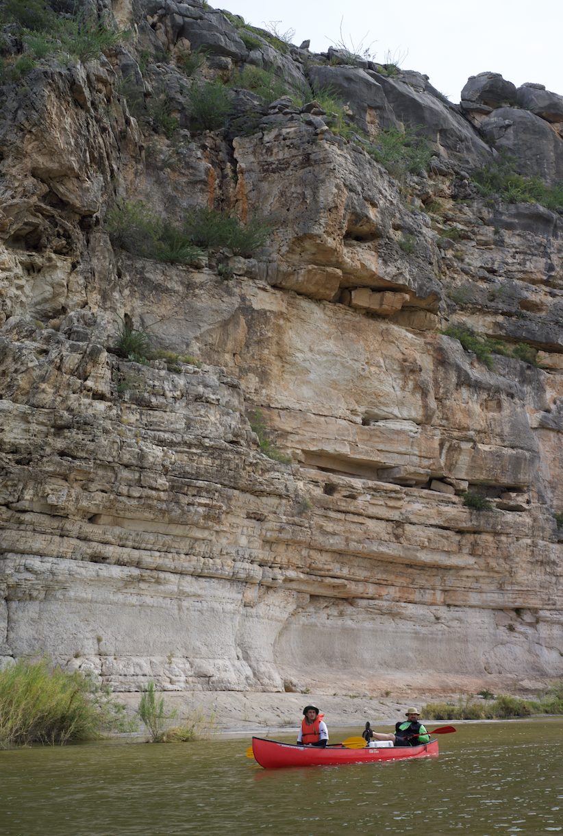
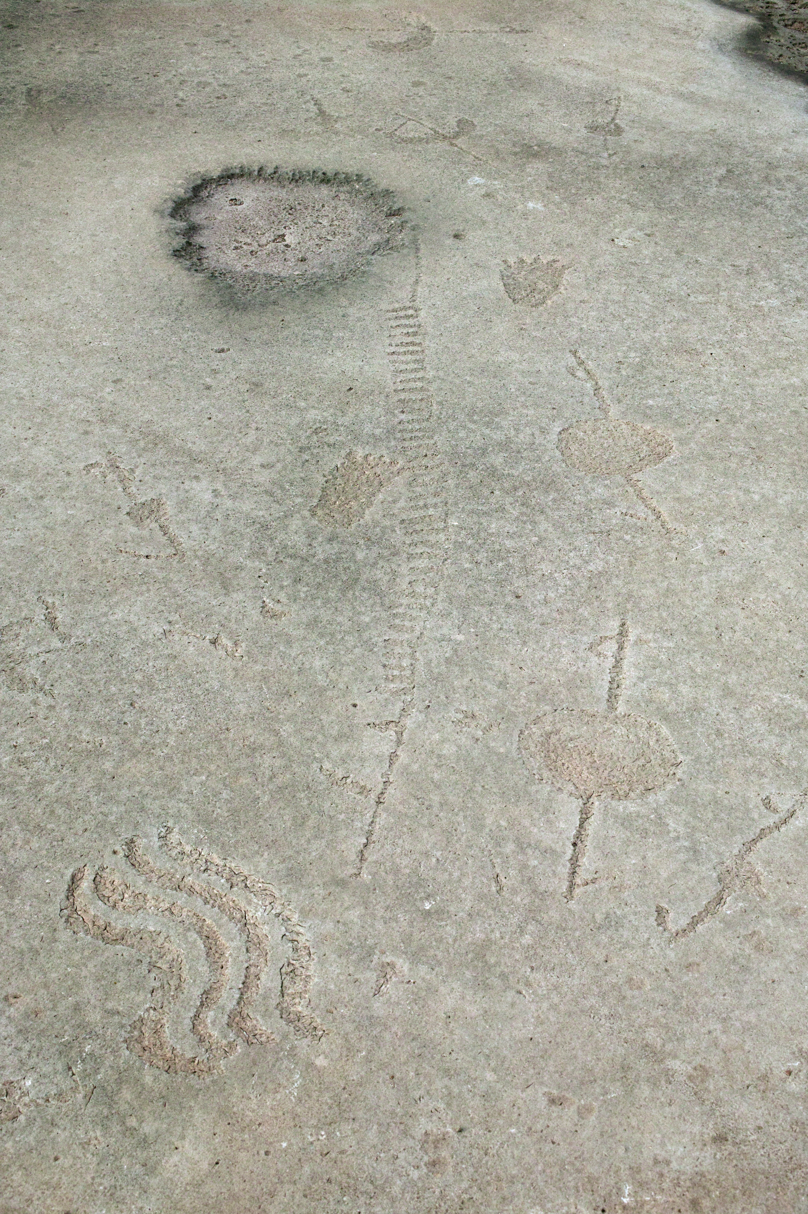
The trip is unique in Texas, as the 16 participants soon were to find out. The group drove and camped at the Pandale low water crossing on a Sunday night, together with their food and water for the week, and then set off in a fleet of canoes to start the trip early Monday morning. The trip doubles as a crash-course in canoeing as well as Cretaceous geology, and after a 25 mile first day of paddling, most of the navigational issues are resolved (most). Days 2-5 involve a mixture of paddling and stops at some of the more spectacular side canyons such as Moose, Harkell, Lewis, and Painted Canyons, where rudist reef systems, wave and tide-dominated carbonate grainstones, and complex fracture and collapse systems are examined. Along the way, brief stops to examine world renowned rock-art sites mix with the scenery and geology to shape a truly unforgettable experience.
A real reckoning of a sort wraps the trip with a 10-mile paddle and tow out of the slack-water stretch of Lake Amistad finishing at the Pecos. But this type of effort is expected of Jackson School graduate students both during studies and in their lifestyles, so the Pecos experience becomes just another unforgettable piece of the educational experience.
-Charles Kerans, Professor and Robert K. Goldhammer Chair in Carbonate Geology, Department of Geological Sciences, Jackson School of Geosciences
-
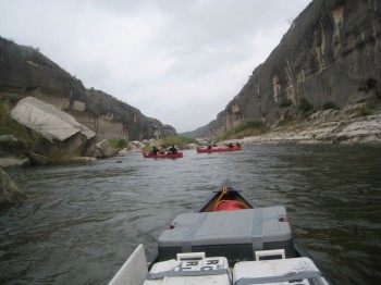
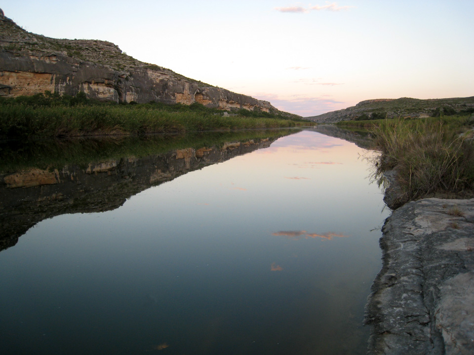
The lower Pecos River Canyon immediately prior to entering Lake Amistad provides some of the most scenic views with vertical walls and huge collapse boulders generated by awe-inspiring floods similar to the food of record in 1954.