
Hunting Hurricane Tracks in Louisiana
October 29, 2021
Thanks to the Jackson School of Geosciences Rapid Response program, scientists arrived on the Louisiana coast in February 2021 to investigate how Hurricane Delta and Hurricane Laura affected Calcasieu Lake (locally called Big Lake).
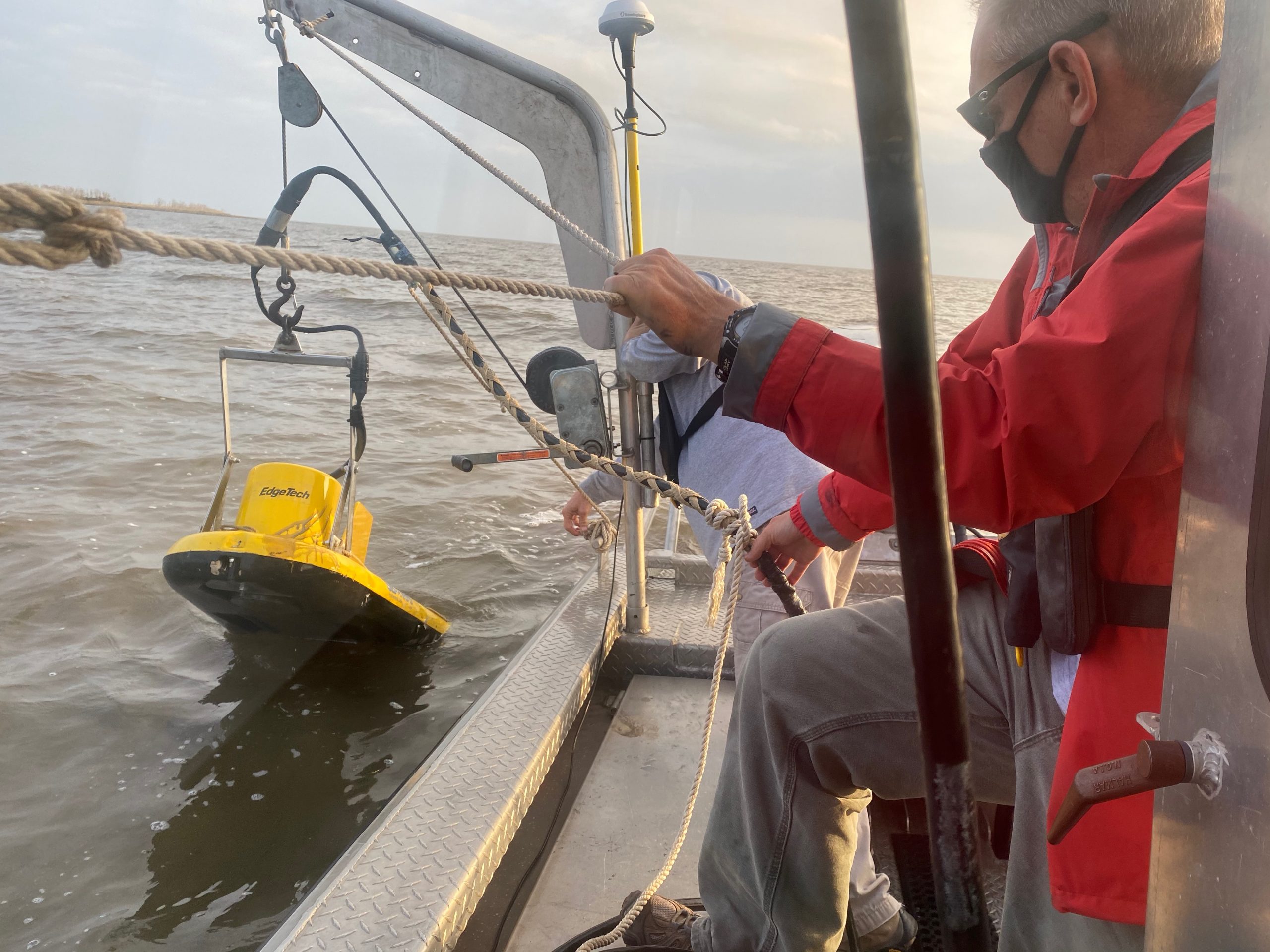
Cornel Olariu, a research scientist at the Department of Geological Sciences, led the team, which included Research Professor Sean Gulick and engineering scientists Dan Duncan and Steffen Saustrup, both at the University of Texas Institute for Geophysics (UTIG).
Coastal lagoons such as Calcasieu Lake are a powerful defense against storms because they regulate the flow of river water and sediments, which helps stabilize the coastline. But when the hurricanes approached the U.S. coast, they caused the river to swell with rain and fill the lagoon. The hurricanes also drowned the lake with storm surge that inundated barrier islands.
The goal of the Rapid Response mission was to find out whether the storm’s approach, arrival and departure left their marks in sediments left behind on the lakebed. The scientists also looked for microplastics that they think were dumped at the bottom of the lake by floodwater flowing in from the surrounding region as the storm carved its way inland.
Insights from their research will be important for identifying older hurricane deposits and understanding the wider environmental impact of coastal storms.
The team spent five days gathering cores from the lakebed and seismically mapping its subsurface aboard UTIG’s research vessel, the R/V Scott Petty. Initial results showed how Hurricanes Laura and Delta carved scours through the lakebed hundreds of feet wide and churned up the normally flat layered sediments 5 to 6 feet down. The depth means that signs of Hurricane Rita’s passing in 2005 probably overlap those of Laura and Delta in 2020.
The scientists are continuing their analysis of the cores and seismic images to confirm the findings and look for signs of even older storms in deeper layers of the lakebed.
Back to the Newsletter