
Field Report: Geophysics Students Take a Seismic Cruise Near Galveston Island
May 25, 2018
By Monica Kortsha
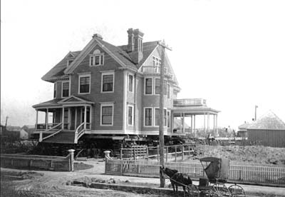
For students in the Jackson School’s Marine Geology and Geophysics field camp, going into the field means going to sea. The 2018 class arrived in Galveston this week, setting up HQ at the historic Sealy Hutchings House, one of the few structures left standing in Galveston after the 1906 hurricane.
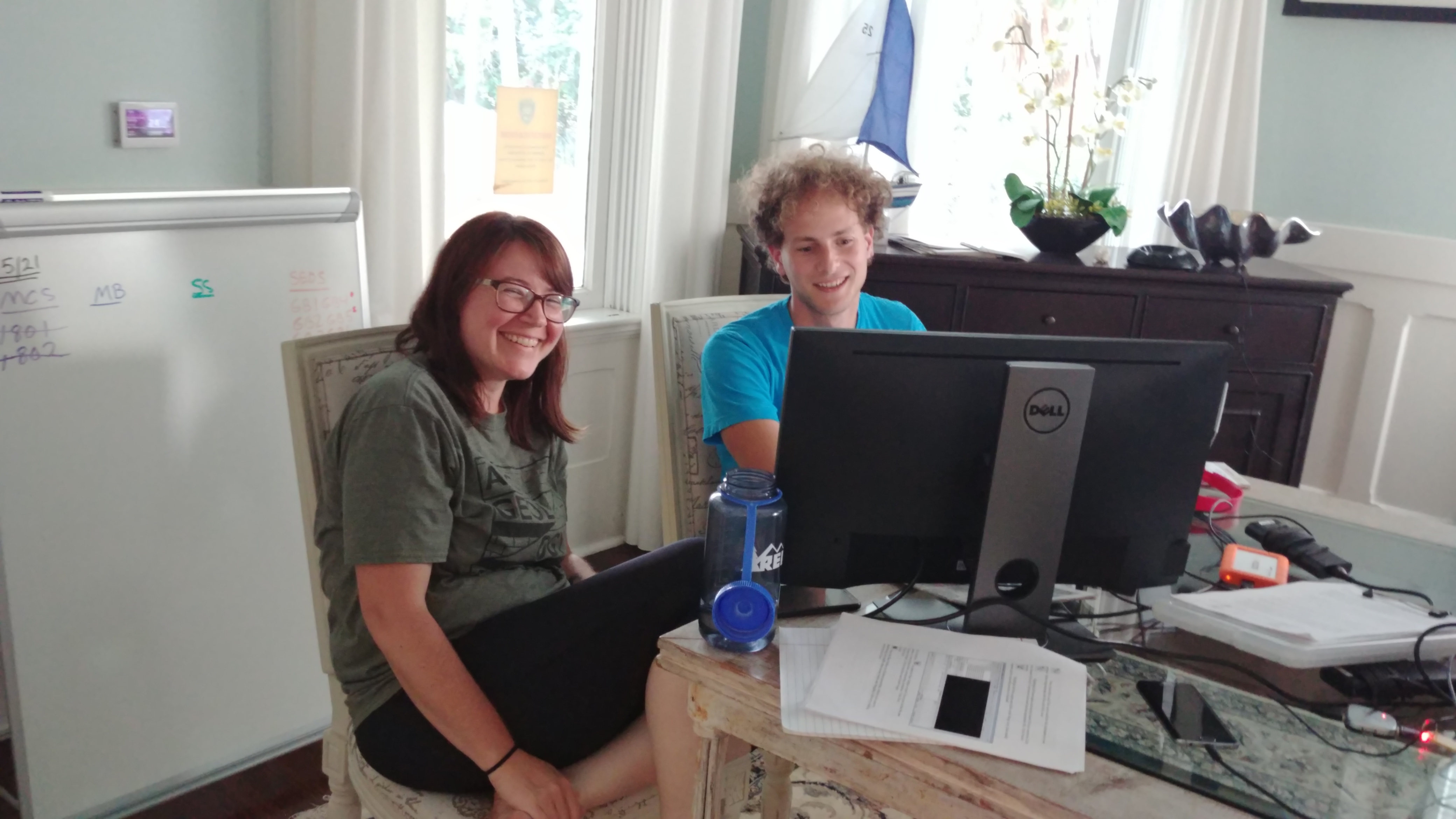
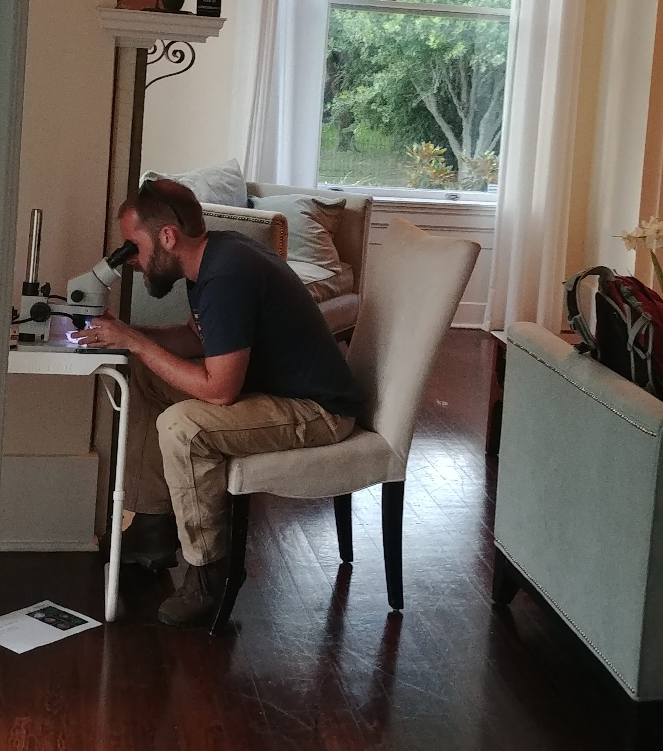
Sixteen students—four graduate students and 12 undergraduates—are enrolled in the course. They’ll be spending a week going on day-cruises and processing their data in a makeshift lab set up in the house. They turned the dining room into a computer lab for cleaning up seismic data, and a window nook into a workspace for microfossil and microorganism analysis.
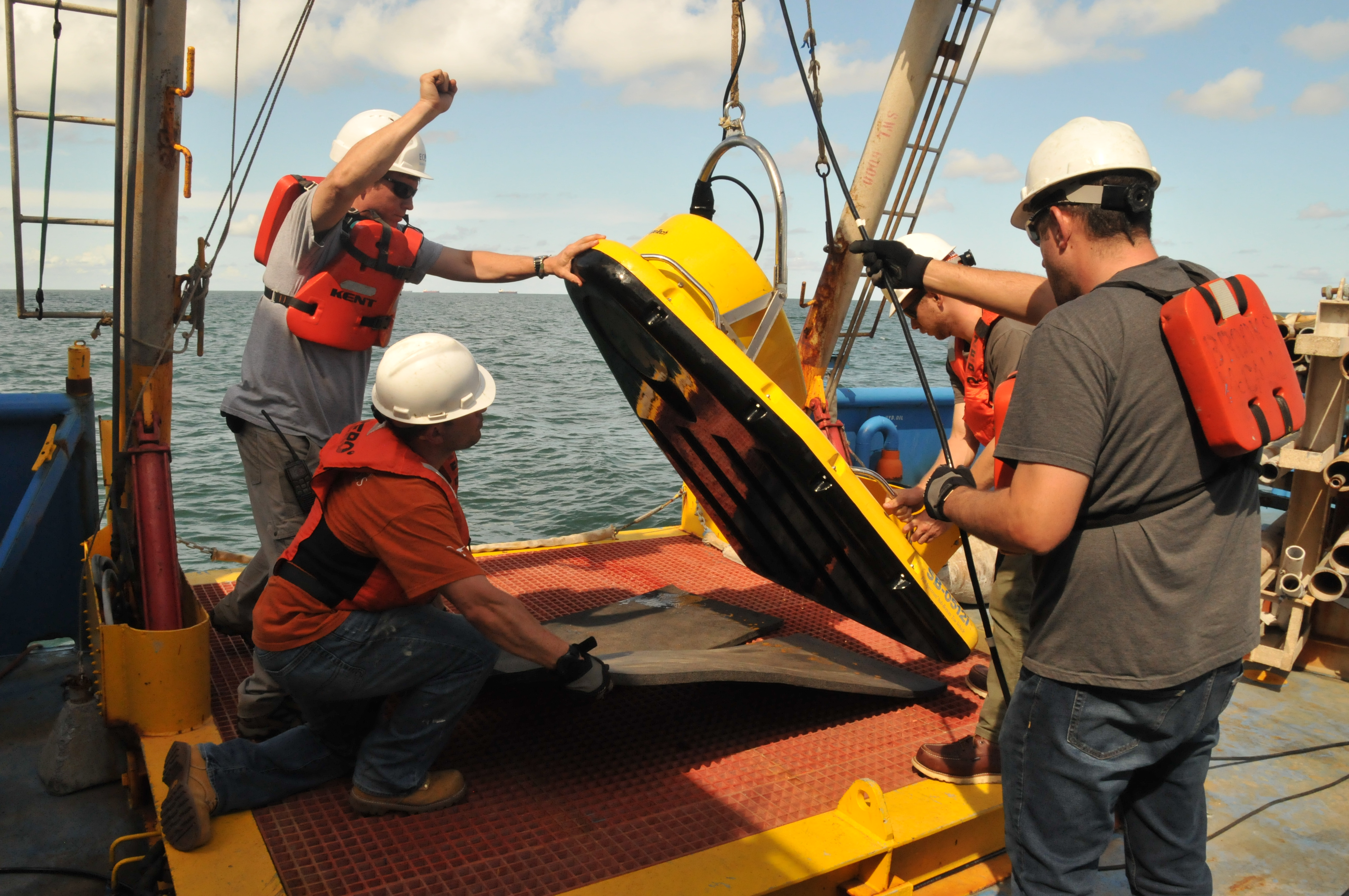
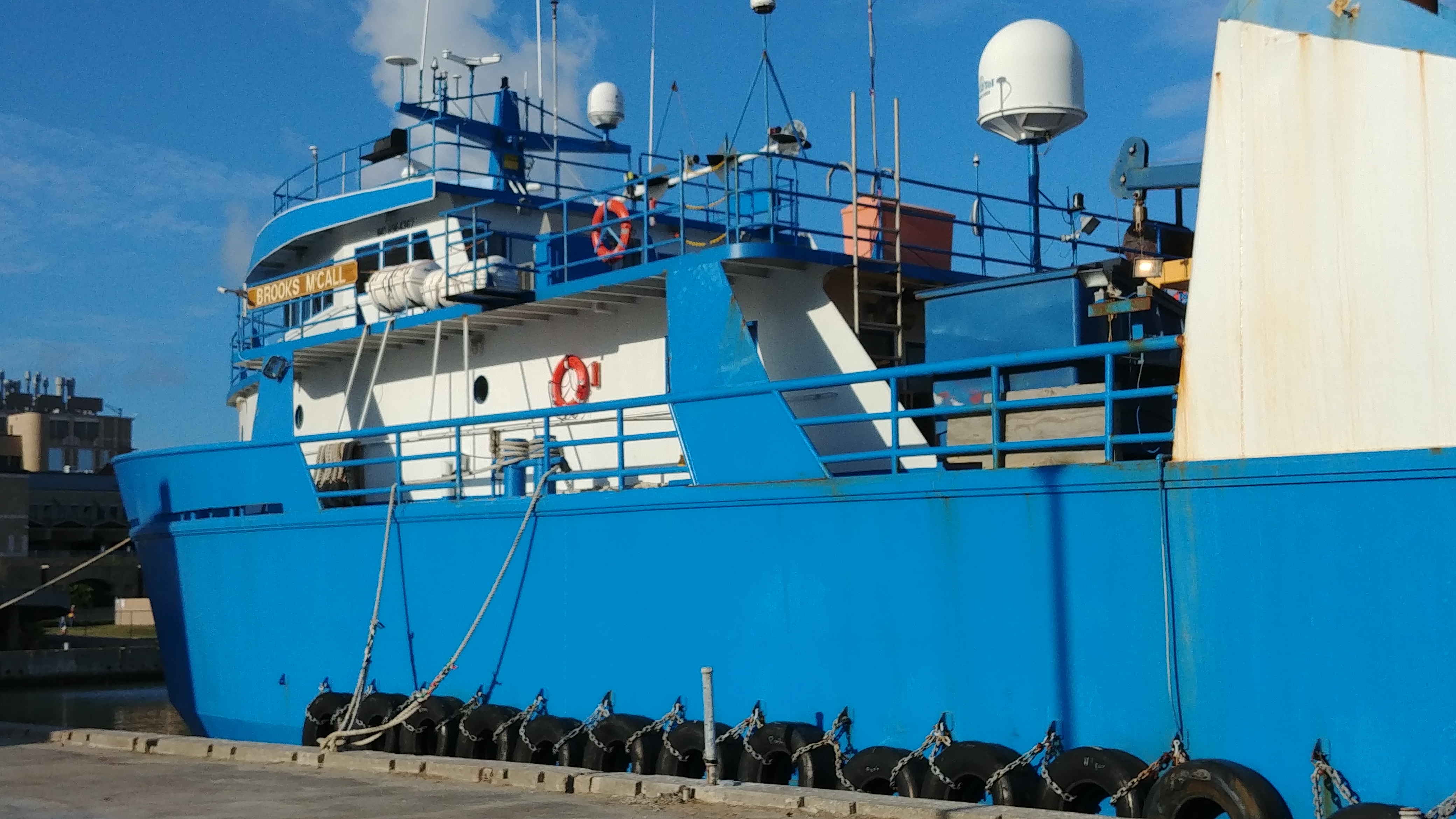
The students are divided into teams of four, with each team having a different assignment for the day. On Tuesday one of the teams spent the day capturing seismic data on the R/V Brooks McCall, a chartered oceanographic research vessel. The rest of the students were divided between at-home lab work and seismic and sediment collection aboard the R/V Scott Petty, the Jackson School’s own small research vessel.
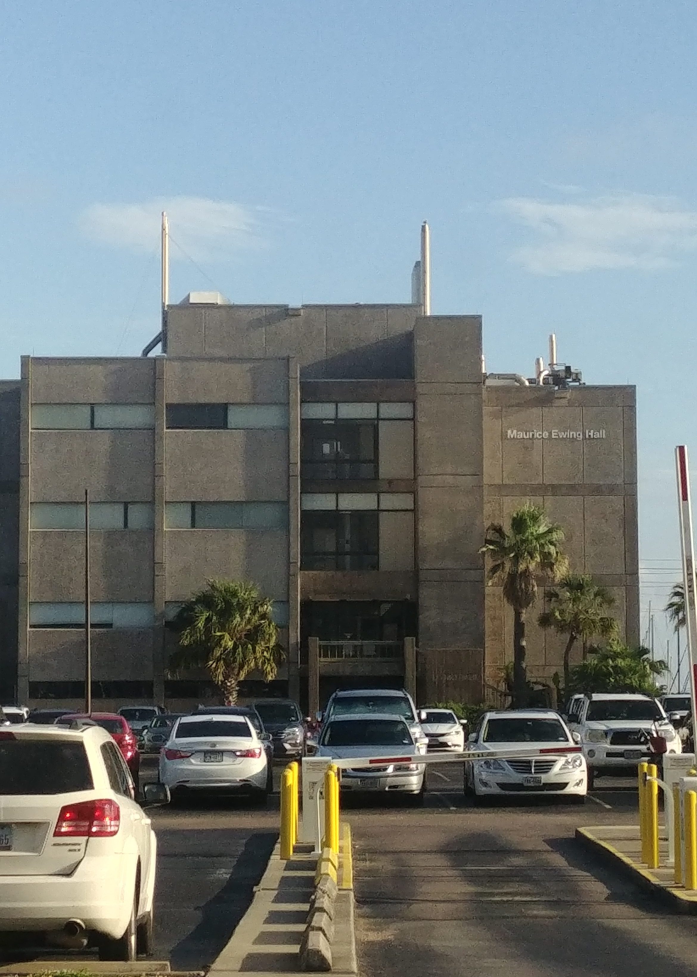
The Brooks McCall team boarded the vessel at the Maurice Ewing Hall dock at the UT Galveston Medical Branch. The building is named for the founder of the University of Texas Institute for Geophysics (UTIG) and was the original home for the institute before it moved to Austin in 1982.
The cruise focused on using seismic imaging to capture channels carved by the Trinity River in the geological record. The river as it exists today drains into Trinity Bay just north of Galveston Island. But about 8,000 years ago, when sea level was much lower than today, the river extended about 100 miles onto what is now the continental shelf. As the sea level rose, the river valley filled with sand and sediment so that it’s only visible through seismic imaging.
“The Trinity is a great target to map,” said course instructor Steffan Saustrup, a UTIG research scientist associate. “It’s an erosional feature that’s continuous yet moving, a good 3-D feature and an example of [the effects of] past sea-level change and climate change.”
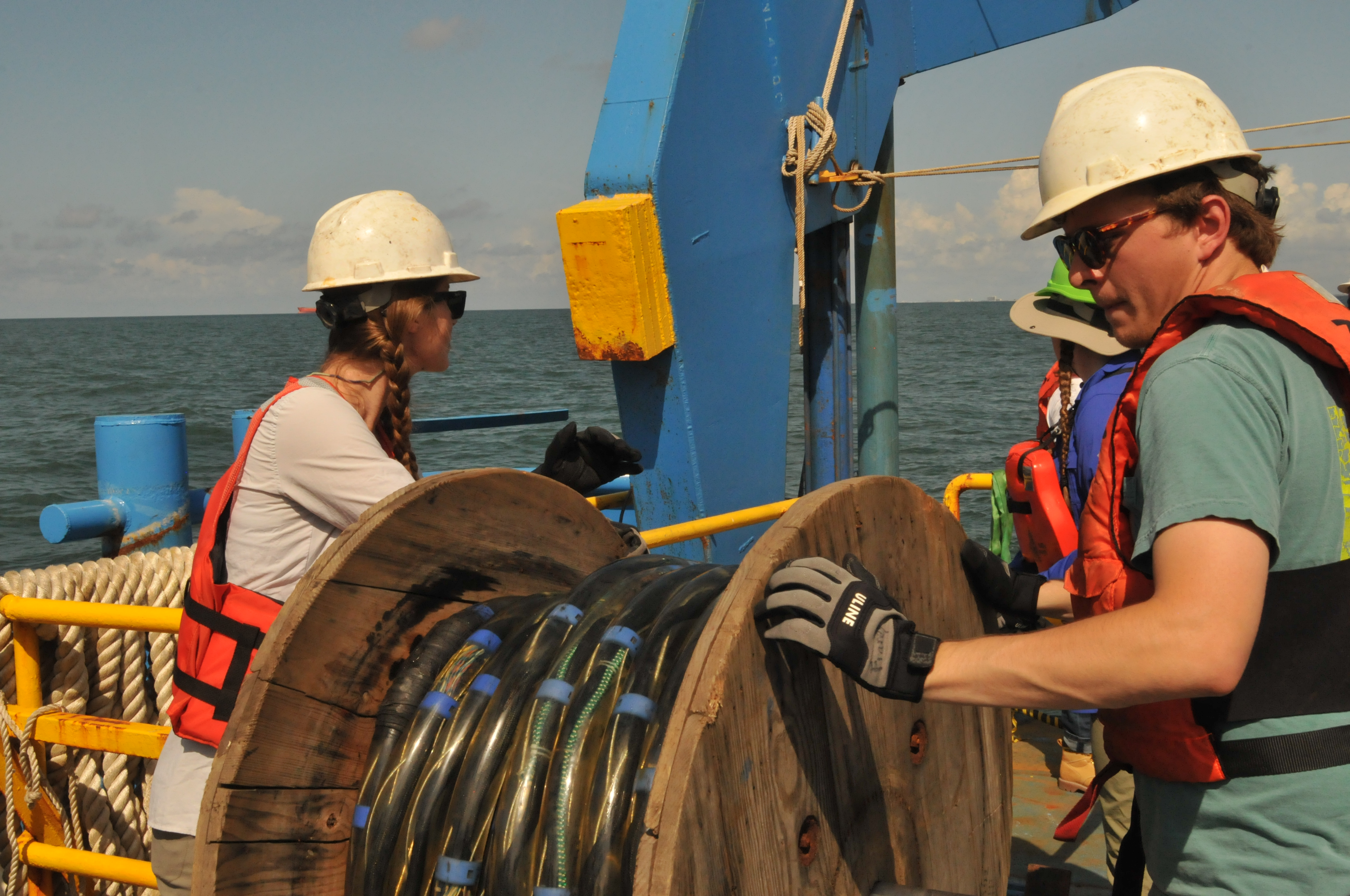
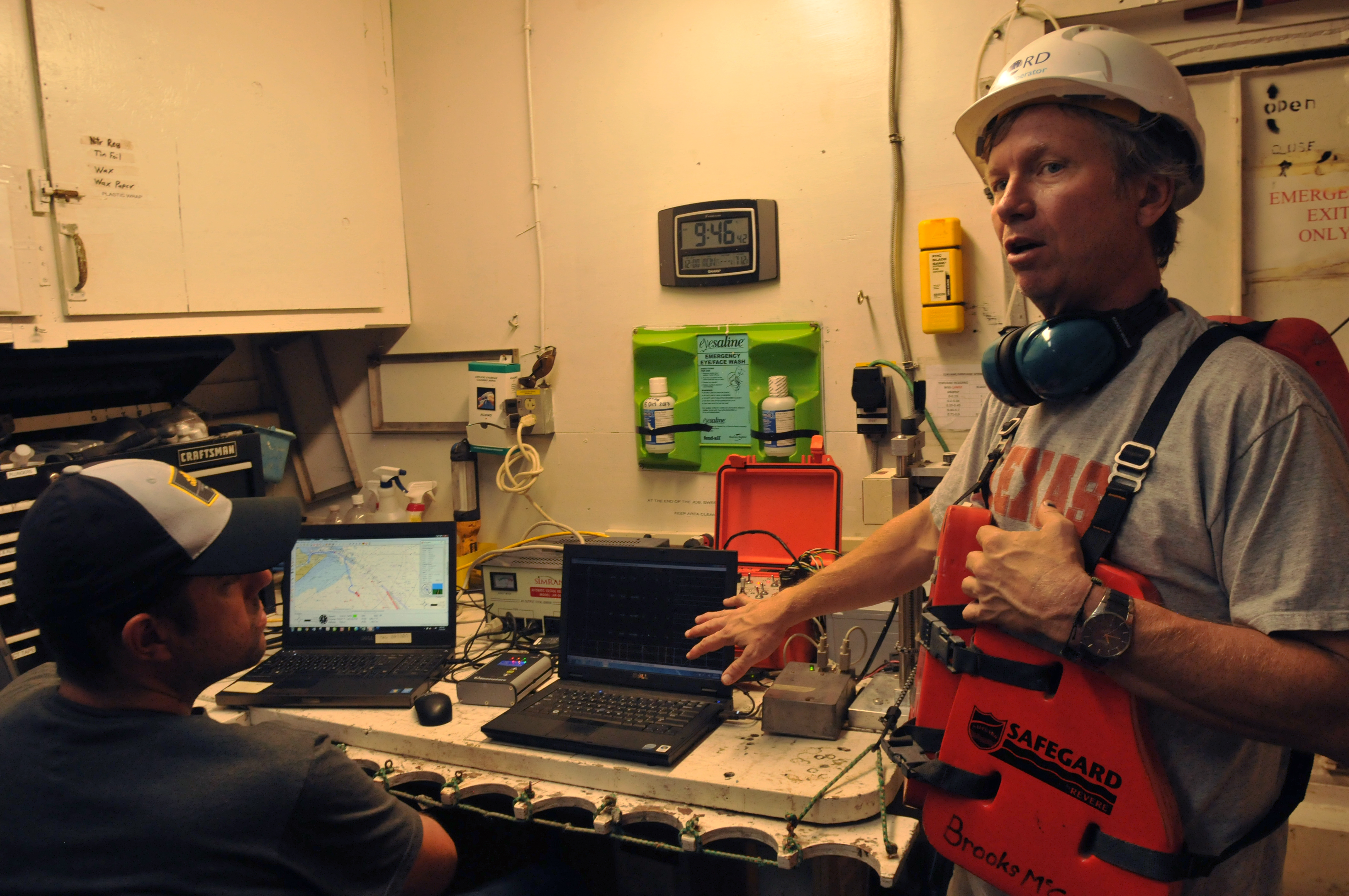
The students deployed two types of seismic technology aboard the Brooks McCall to collect data on the seafloor layers. The Chirp emits a high frequency ping and provides high-resolution data on about the first 30-50 meters of seafloor depth—the same depth where the ancient river channel cuts through. An airgun and hydrophone array provides a deeper look into the surrounding geology, capturing data about the seafloor 75-100 meters down.
“Seeing the end product is going to be really interesting,” said John Franey, an undergraduate in the course. “This will be the first time working with a dataset I acquired myself.”
The work aboard the Brooks McCall is meant to mirror in miniature what it’s like to be on large international geophysics research cruises.
Jackson School graduate student Andrew Gase said that the process of monitoring and logging the incoming data was very similar to work he conducted on a research cruise along New Zealand’s Hikurangi subduction zone in November 2017.
Saustrup encouraged the students to treat the field course as if it was one of these missions.
“Think about this like a future expedition,” Saustrup said, checking in on a group of students monitoring incoming data. “You will have limited resources—maybe you can only take three or four cores. How are [these resources] best applied? Always think forward. What would you do next?”