Field Report: Geophysics Students Turn Samples into Science
May 29, 2018
By Monica Kortsha
This is the second blog post in a short series covering the 2018 MG&G field course. Read the first one here.
Students in the Jackson School’s Marine Geology & Geophysics (MG&G) course work with an array of data. On day-cruises offshore of Galveston Island they collect seismic data, multibeam data, and sediment samples. The data can help reveal the geologic history of the Texas coast. But it has to be processed first.
Raw data looks like this: bags of muddy sediments; data point clouds of seafloor topography that include aberrant marks made by the pitch and roll of the survey ship mixed in; and uncalibrated seismic data that starts out as columns of angled black triangles—a far cry from the distinct seafloor layers that students are used to seeing in their courses.
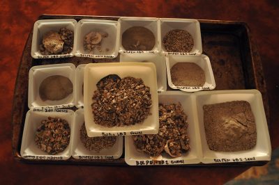
On Wednesday the group of students assigned to onshore lab duty learned how to make usable data from these raw materials. The rest of the students went to sea to collect more data for processing the next day.
The labs consisted of three stations, each set up in a different part of the historic Galveston home that served as the class HQ.
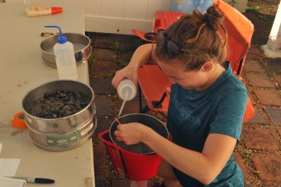
The outdoor showers served as the spot for grain size analysis. By washing the muddy sediments over a series of sieves, along with working out how much silt versus clay was left suspended in the water, the students determined the size of the materials that made up a sample of the seafloor.
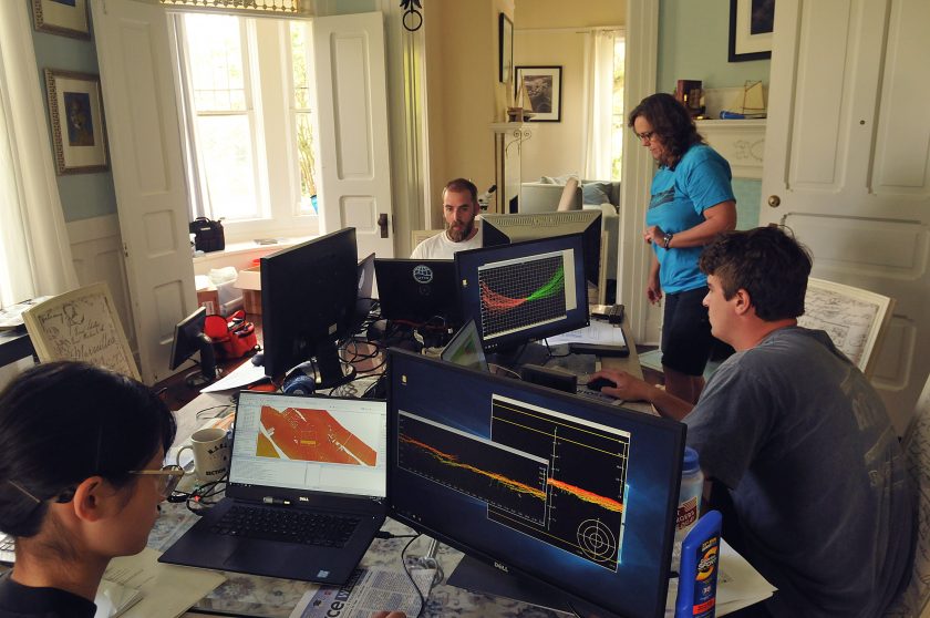
The dining room table was covered in laptops for processing seismic and multibeam data. Once it’s cleaned up, the seismic data shows 75-100 meters of seafloor layers, while the multibeam shows the topography of the seafloor. Both require lengthy processing to remove “noise” that can muddy the geologic information. Vibrations from the boat, echoes and, in the case of the multibeam data, dolphins swimming near the survey site, all leave their mark on the raw data files. (The researchers pause seismic surveying when dolphins are nearby).
Angela Cai, an undergraduate in the course, said she enjoys the process of cleaning up the multibeam data. This process involves selecting points that stick out from the larger clusters, checking a topographic map generated by the sum of the data for anomalies that could explain the strange locations, and deleting the points that look like they were made by noise.
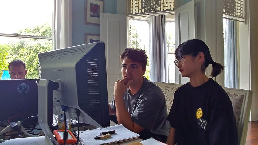
“It’s meditative,” Cai said.
Searching for microorganisms happened in the parlor. The protocol involved looking for foraminifera or formams—a sand-grain sized type of plankton—among a sample of actual sand grains separated from the larger sediment samples. Exposing the sand to a bright pink dye helped the students pick out the recently dead forams from fossilized ones. The dye adheres to the single cell that makes up the entirety of forams’ soft tissue. It doesn’t stick to the empty shell left behind by older specimens, which allows the students to separate the old from the new.
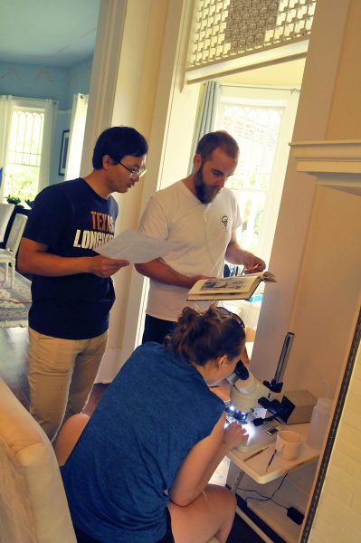
The students worked closely with course instructors Marcy Davis and Chris Lowery throughout the day, talking through rough spots in the data, and going over long-lists of instructions.
“I get to know everybody better, and I get to learn from the questions people ask,” Davis said.
Both Davis and Lowery are research scientist associates at the University of Texas Institute for Geophysics.
The goal is for the data to help resolve the geology of a section of the Texas coast. In the coming days, the students will work on piecing together a story from these interrelated parts they spent the day analyzing.
“Our whole purpose here is finding out the true geology,” said undergraduate Harry Hull.
