The Geo AI Era
November 17, 2026
Artificial intelligence is fundamentally changing the way geosciences research is done, across every discipline in the field. Recent advances in this technology mark a leap forward too large to fathom. It’s as significant as putting a man on the moon. It’s, as Jackson School of Geosciences Dean Danny Stockli said, “as big a revolution as plate tectonics.”
“It’s a fundamental paradigm shift — and I’m not just thinking of AI itself,” Stockli said. “It will help spur new paradigm-shifting ideas that we just thought were impossible.”
It’s a fundamental paradigm shift — and I’m not just thinking of AI itself.
Danny Stockli
AI is much more than the large language models such as ChatGPT that have become synonymous with the term. In the geosciences, researchers are using neural networks to sort through enormous stockpiles of data to find patterns that may have slipped through the cracks. Observational data that would be considered “noise” or irrelevant to a specific research question are suddenly being recast as gold mines. Run enough data points through machine learning models, and unexpected, unbiased patterns may emerge.
The more data that machine learning algorithms are exposed to, the stronger and more reliable they become; quantity tends to equal quality. This is why the geosciences — often a big data field — are proving to be exceptionally fertile ground for exploration through AI.
For decades, researchers have used process-based models that reflect established laws of science to make predictions about future conditions or reconstructions of the past. These models are extremely valuable for maintaining accuracy in scientific findings, but they often take tons of computing power to run, which means time and money.
Machine learning models are much more efficient and can actually be used to speed up process-based models with surrogates, or used together with process-based models to make hybrid models. Researchers are now running their data more quickly and more often, which increases the opportunities for scientific breakthroughs.
As the Jackson School faces this AI revolution, one of its biggest strengths is the school’s sheer breadth of research, spanning Earth’s interior, its surface, cities, hydrological systems, glaciers, and outer space, said Daniella Rempe, the school’s associate dean for research.
“It encompasses our entire college — every single domain expert has some interaction or benefit from this technology,” Rempe said.
This opportunity is ripe for Jackson School students as well. In 2024, the school launched a graduate certificate in Machine Learning and Data Analytics in Geosciences. A degree like this exists at no other school in the country. All students and faculty at The University of Texas at Austin access to UT Sage, an AI tutor and virtual instructional designer that supports the responsible use of generative AI in teaching and learning. And the Jackson School’s connection to the Texas Advanced Computing Center and Oden Institute for Computational Engineering and Sciences gives students and researchers powerful tools through collaboration.
Leaders at the Jackson School are hiring AI experts who can make and facilitate breakthrough discoveries. Last year, the Department of Earth and Planetary Sciences hired two new faculty members who use AI to study hydrology — Assistant Professors Dapeng Feng and Fa Li. The department has a computational geoscientist, Cameron Cummins, as does the University of Texas Institute for Geophysics, Dunyu Liu. Thorsten Becker (pictured right), a professor in the department and at UTIG, was recently appointed by Stockli to serve as a special adviser to the dean for AI. He will soon be hiring a computational geoscientist to help facilitate AI research at the schoolwide level.
“In the same way that we have relied on engineers to build instruments that we use for scientific discovery, computational scientists play the same sort of role in allowing us to do research with new tools and methods,” Becker said. “We’re talking about sophisticated applications of algorithms on supercomputers and other computational hardware.”
It often falls to graduate students and postdoctoral researchers to act as the experts for new technologies like this. But by the very definition of their roles — they leave. Permanent computational geoscientist positions much more effectively maintain continuity of AI expertise at the school, Becker said.
The Jackson School is working hard to stay ahead of the curve in its prioritization of AI research. Becker’s position is the first of its kind at UT, Stockli said. And it has the most important ingredient for success — a group of experts with domain expertise across the geosciences.
“We’re a powerhouse, but we’re also still a small enough school that we can be nimble enough to really respond to this,” Stockli said. “And we have the resources to respond to this.”
This moment — where an extraordinary new technology is met by prioritization and investment — is one that Stockli is counting on researchers to embrace. This is an opportunity to rally around big, pie-in-the-sky fundamental geosciences questions, he said. Can we know the effects of major storms in real-time? Can we forecast earthquakes? The answer, suddenly, is maybe.
“It’s not solving the impossible, because it’s not impossible anymore,” Stockli said.
Here are just a few examples of the people who are leading the charge of AI-driven geosciences research at the Jackson School.
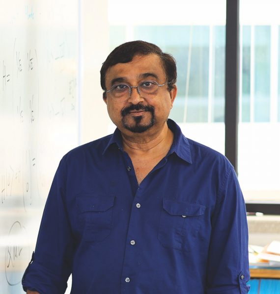
Mrinal Sen
Computational Geophysicist
Mrinal Sen, professor in the Department of Earth and Planetary Sciences and University of Texas Institute for Geophysics, has had a front-row seat for the AI revolution.
Sen was a very early adopter of machine learning in geosciences research. Back in the 1990s, he was funded by the National Science Foundation to develop neural networks for seismic velocity estimation and data processing. But 30 years ago, computers weren’t as fast, algorithms weren’t as efficient, and data wasn’t as plentiful. All of that has now changed.
“So, we went back and started to look into our problems with new ideas,” Sen said.
Sen works on solutions of inverse problems in the subsurface — which is when an effect is known (e.g., seismic waves), but not the cause (what’s happening below ground that caused the activity). Sen puts the data into a neural network, which runs physics-based models repeatedly until it’s able to match a theoretical response with the observed data. It’s an optimization approach integrated with machine learning. Sen’s method has worked well; researchers across the country are now using it in different forms for their inverse problems.
Sen identified the need for developments using quantum computing to solve complex problems in the geosciences that may be above the pay grade of even high-performance computing centers. Quantum computing is still in its infancy, but Sen is already working on how machine learning models can be run most efficiently on these computers. He believes quantum AI will help geoscientists develop better algorithms that will be ready for routine applications in 15 to 20 years.
Five years ago, when AI research was beginning to be viewed as an intrinsically valuable innovation in research, Sen was already sharing his expertise with students. Every fall semester since 2021, he has taught “Introduction to Machine Learning in the Geosciences,” which attracts students across UT. Then, of course, there’s the singular Machine Learning and Data Analytics in Geosciences certificate program, which he helped to spearhead.
“We are definitely leading the charge here,” Sen said.
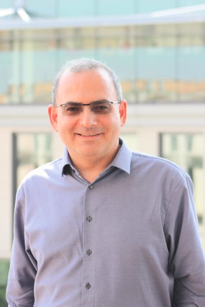
Sergey Fomel
Computational Geophysicist
Deep learning models rely on vast amounts of data to perform well. So, employing them to study the subsurface, which is historically sparse on data and cannot be seen, can prove to be challenging.
Still, researchers such as Sergey Fomel, professor in the Department of Earth and Planetary Sciences and Bureau of Economic Geology, have found ways to make it useful in their research on the subsurface. The key, Fomel said, is that you must be a subject matter expert in order to use AI as an effective tool.
“You cannot just hand these problems over to a computer scientist to use AI and solve the problem. There isn’t enough data to do that. You need domain expertise if you want to use AI to study the subsurface,” he said.
Another way Fomel has found to get around the data scarcity problem is to train models with synthetic data. In a 2019 paper in Geophysics, Fomel and then-postdoc Xinming Wu reported their success in using synthetic 3D images of fault systems to train neural networks to detect faults in real seismic imaging data. Since it came out, this has been the journal’s most-cited article. It’s been a breakthrough in seismic interpretation.
One of the biggest problems in the study of the subsurface is depicting it accurately in images.
“And what people discovered is when you’re looking for an image of the subsurface, it may not be sufficient just to use the data that you have. You need to have a sense of a pattern — so what kind of images make a pattern,” Fomel said.
This is where synthetic data comes in.
Along with Research Associate Professor Yangkang Chen, Fomel has also helped to kickstart the Jackson School’s Geoscience Hackathon, in which students work on a computational task in teams over a single weekend.
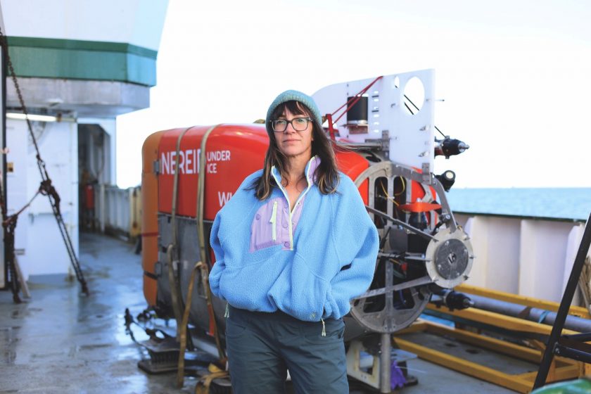
Ginny Catania
Glaciologist
One glacier does not retreat like another — it’s common for one glacier to rapidly retreat inland while its next-door neighbor stays locked in place. Glaciologists have come up with eight physical equations to predict seasonal and long-term terminus position change, but none of them fully encapsulate the physics involved, or can accurately predict how any glacier will move.
Ginny Catania, professor in the Department of Earth and Planetary Sciences and UTIG, worked with Kevin Shionalyn (Ph.D. 2026) to forecast glacier terminus behavior using machine learning. Using this method, they found that seasonal terminus change and long-term terminus position change are predictable. But there are caveats.
If the glacier terminus changes in a way that is not reflected in the model training data, the prediction is less accurate, Catania said. Their model, for example, was great at simulating large terminus retreats, but it could not predict when glaciers retreated less than a kilometer.
The problem comes down to lack of data. Satellite data for glaciers has been really great since about the year 2000, but not every part of the glacial system is captured in that data, Catania said. The glacial bed cannot be captured via satellite, for example. So, there’s much great data available about glacial retreat, but it doesn’t tell the whole picture of what is physically contributing to the process. This is what’s motivating Catania’s TERMINUS project to survey naturally forming underwater sandbanks below the terminus, to see whether they might be slowing ice sheets’ retreat.
“Yes, we have amazing observations. But we’re not observing everything,” Catania said.
Catania has also developed software called AutoTerm that uses machine learning to identify glacier termini in satellite images. This way, researchers do not have to spend time doing it manually. The software automatically runs on publicly available cloud-based images.
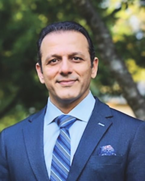
Seyyed Hosseini
Environmental Scientist and Associate Director
In his role as associate director of the Environmental Division at the Bureau of Economic Geology, Seyyed Hosseini is working less these days on his own research and more on coordinating efforts between researchers at the bureau. This includes how they are using AI.
Bureau researchers are applying machine learning to delve into topics across the geosciences — be it geothermal energy, reservoir characterization, flood prediction or groundwater applications, just to name a few examples.
But the bureau has another advantage — it is swimming in data. As the State Geological Survey of Texas, the bureau monitors geologic activity across the state. Take, for example, the Texas Seismological Network and Seismology Research (TexNet), which receives real-time seismic data from more than 200 monitoring stations across the state. This vast network allows researchers to monitor earthquake activity instantly. It also means they have an enormous cache of data that they can feed into machine learning models. Hosseini is hopeful that this data could be used to create a public benchmark model that could be widely used to predict earthquakes in Texas.
The bureau is also home to 2 million boxes of rock and sediment cores, 3D seismic data, soil moisture data, groundwater levels, and much more data going back decades.
“We have a lot of well logs, a lot of paperwork, paper copies, a lot of core samples, a lot of thin sections. They’re just sitting in somebody’s drawer,” Hosseini said. “If we could digitize our datasets across the Jackson School, we would immediately have large datasets that would be AI-ready.”
Of course, this would be a huge, time-consuming and costly effort. But Hosseini believes it’s something they need to do.
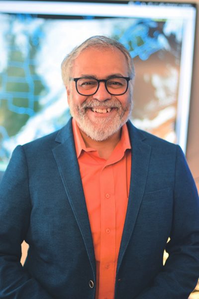
Dev Niyogi
Weather Expert
Dev Niyogi, professor in the Department of Earth and Planetary Sciences, is passionate about connecting weather and climate data to the people and entities that need it most. As a scientist who focuses on extreme weather events in cities, he has prioritized building a partnership with the City of Austin to build a weather and climate data-to-decision framework so that it can be put to work. He’s the co-lead of the UT-City CoLab, which brings together UT researchers, Austin city officials and community members to help the city build climate resilience.
A major project that has come out of this partnership is AusTwin, a digital twin framework for the City of Austin. This is being developed as a living online replica of Texas’ capital city that integrates AI tools and a data-to-decision framework for researchers, policymakers, planners and leaders at the city. For example, users can view a 3D thermal landscape of Austin to get precise temperature and thermal comfort measurements that can be used for planning the coolest walking path between destinations.
This is one of the first AI digital twins that is being deployed at the citywide scale in the U.S., Niyogi said. And the concept is building in other cities across the globe. As he and his students have presented on AusTwin and other digital twins they’ve developed (such as a microclimate simulation tool for the marathon route of the Paris Olympics), Niyogi has seen other cities and business operations interested in delving into digital twins. But it requires consensus on framing, goals and data.
“Seeing how AI and digital twins can be implemented for city-scale applications is exciting as it involves working with various stakeholders with different objectives, working with novel ways to integrate open datasets to help with decisions, and building something that is scalable and transferable beyond Austin,” Niyogi said.
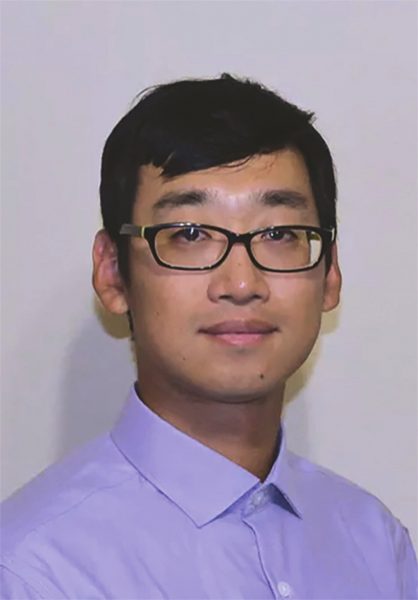
Dunyu Liu
Senior Computational Geoscientist
Researchers will often talk about how well suited the geosciences are to being explored through AI. The data, after all, appears plentiful and diverse in subject. However, in some disciplines, the observational data is actually quite sparse and skewed in its distribution; scientists have to rely on expensive computational models to make disparate datasets talk to each other. AI models show promise in significantly accelerating the computation and reducing its cost. Researchers such as computational geoscientist Dunyu Liu are making it work.
At the University of Texas Institute for Geophysics, Liu is developing graph neural networks to accelerate simulations in computationally demanding domains such as earthquake dynamics.
“With earthquakes, most observations are sparse and incomplete and come from the Earth’s surface. There is still quite a bit of uncertainty involved in the friction and mechanics happening underground,” Liu said. “Because of that, we rely on partial differential equations and numerical models to link data with physics and structures. The problem is that the computation may be too expensive to explore the physical system.”
Last year, Liu together with Professor Thorsten Becker published one of the first machine learning models to accelerate the simulation of earthquake rupture dynamics. Given a new location where an earthquake rupture begins or new initial stresses occur, the trained model can accurately produce rupture behavior, from nucleation to propagation to termination. It’s what a classic physics solver does — but much faster.
Liu is excited by the potential of graph neural networks and is now working with Becker to extend this approach to a harder challenge: modeling earthquake cycle dynamics, which involve physics spanning both time and space and complex stress and friction evolutions.
This accelerates researchers’ ability to map sparse observations to physical laws, quantify uncertainties in system dynamics, and deepen their understanding of the underlying physics.
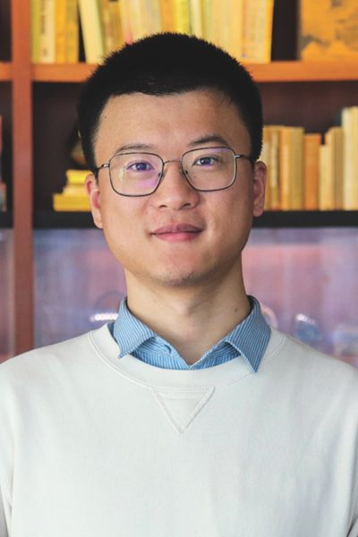
Dapeng Feng
Hydrologist
Dapeng Feng, assistant professor in the Department of Earth and Planetary Sciences, came to the Jackson School in early 2026 as part of an AI hiring initiative. Feng was a major developer of a modeling framework called differentiable hydrological models, which provides a generic approach to integrating physical geoscientific and AI models.
He is widely considered an AI expert in geoscience, but Feng thinks of himself as a hydrologist first. To him, AI is a strong tool that can help him achieve his goal of understanding hydrological systems.
“When I came to the Jackson School, I was very excited by both the school’s AI capabilities and the impressive roster of hydrologists and other geoscientists that I could collaborate with,” he said.
Feng specializes in hybrid models, which take the strong suits of both physical and machine learning models.
Physics-based models are essential but not perfect; many of them are built on scientists’ understanding of physics, which for some Earth systems processes may not yet be fully understood, Feng said. Researchers have to build assumptions into physical models for this reason. Machine learning tools, which automatically learn from big data sets, provide an opportunity to improve prediction accuracy and refine previous physical understandings based on prior assumptions.
These hybrid models are constrained by physical laws such as mass balance and energy balance and large observational data. But for processes researchers are less sure of, they can replace that part of the model with lessons AI has learned from data.
“Those components with empirical relations or those processes we’re not very sure of — we replace them with learnable AI components so that we can improve our model accuracy and process representation without making prior assumptions,” Feng said.
AI Glossary
LLM? NN? GPU? PDE? IDK … When all those AI-related abbreviations start looking like alphabet soup, turn to this short glossary for a refresher. While this is by no means a comprehensive list, here are some of the common terms you may stumble across when reading a journal article or a feature story in this magazine about using AI in the geosciences.
Artificial intelligence (AI): The broadest term for the field of computer science that completes tasks that were once thought to require human intelligence. AI can recognize patterns and provide reliable answers to questions based on its analysis of these patterns. During the 1950s, these AI systems were based on a set of “if-then” rules written by programmers. Today, when people talk about AI, they are typically talking about a system that learns from large collections of plain data.
- Examples: Image recognition, text-to-speech technology, email spam filters, route planning with GPS, surgical robots
Machine learning (ML): Machine learning is a subfield of artificial intelligence and is currently the most dominant type — to the point where these terms are often conflated. In machine learning, computers are trained to identify patterns based on loads of diverse data in order to make predictions and answer questions. The machine is not learning in the human sense; it is automatically adjusting the weight of millions of inputs so that its predictions become more accurate.
Parameters: Parameters determine how a machine learning model’s inputs are processed. When the model is being trained, it adjusts the weight of each input in order to make an accurate prediction. These are the parameters. They put the “learning” in machine learning!
- Example: If a model is built to predict river flooding, its inputs may include rainfall, soil moisture and river height. But all of these inputs should not be given equal weight in the model, because they do not have the same impact on flood levels. Parameters are the numbers that signify the weight that each of these inputs has in the flood prediction model.
Deep learning (DL): Deep learning is a subfield of machine learning. In traditional machine learning, a human guides the inputs and decides which information is important enough to include in the model. In deep learning, the model learns what’s important through sheer exposure to large datasets with millions or billions of examples compared with training data. Deep learning models are often a “black box” — it’s difficult for researchers to know exactly how the model reaches its conclusions. The “deep” in deep learning refers to a neural network with a vast number of layers.
Neural network (NN): A neural network is a mathematical model that takes raw data inputs represented by numbers, combines them using parameters, and creates an output. This is one singular “neuron.” A neural network is made up of millions or billions of these neurons. You can picture it like a giant soundboard covered with millions of dials — each neuron is a dial that is adjusted slightly to produce the right sound. The name is inspired by the neurons in the brain, which send signals to one another.
Graph neural network (GNN): Like a neural network that learns not only from each neuron, but also from the relationship between neurons. Real-world data — which is plentiful in some branches of the geosciences — is especially well suited to be modeled in a graph neural network.
- Example: Think about what it would take to model the stress on a fault system. To capture it accurately, the model would need to take into account the stress on each individual segment of the fault, and also how stress may be transferred from one segment to another. Those relationships matter and must be reflected in the model if it’s to be accurate.
Foundation model: This is a deep learning model trained on a huge, diverse array of data so that it can be used across a wide array of applications and complete many tasks. Researchers can use foundation models to fine-tune their data for more specific questions.
Process-based model: Unlike a machine learning model, a process-based model does not make predictions based on historical data, but rather based on established physical, chemical or biological laws.
Physics-based model: A physics-based model is a type of process-based model. It makes predictions based on the laws of physics rather than patterns found in data, which is how machine learning models make predictions.
- Example: A classic physics-based weather model makes predictions of next week’s weather based on equations that quantify how air, heat and moisture move, and how pressure changes. A model that instead predicts next week’s weather based on historical measurements of this data and subsequent weather records is a machine learning model.
Hybrid model: A model that combines the established laws of a process-based model with the pattern recognition of a machine learning model to make better predictions that obey real-world constraints.
Surrogate model: A short cut model that can approximate the results of a more time-intensive and computationally expensive physics-based or machine learning model. Surrogate models are trained on thousands of runs of physics-based models and learn to imitate those outputs.
Digital twin: A digital representation of a physical place that is continuously updated and synchronized with its physical counterpart. A digital twin incorporates live data from sensors and observations.
- Example: A digital twin of a city allows city planners to model how certain areas of the city may be affected by a wildfire or flood, or how traffic would change if a new stoplight were installed.
Partial Differential Equation (PDE): A partial differential equation calculates how something changes over both space and time. This is the mathematical foundation that encodes physical laws in many hybrid models.
- Example: A partial differential equation can represent how CO₂ moved across the globe over millions of years during the Eocene.
Differentiable model: A differentiable model can predict how an answer would change if the parameters changed a little. Differentiability allows neural networks with billions of parameters to improve their predictability by adjusting those parameters very slightly.
Large language model (LLM): A deep learning model that has been exposed to an enormous amount of language data and is therefore adept at predicting patterns in text or computer code.
Graphics Processing Unit (GPU): A special computer processor that can run thousands of independent calculations at once, making it well suited for running a neural network. GPUs were initially developed to enhance the graphics in video games and are now also used to run scientific AI models.