Soil Moisture in Real Time
October 16, 2023

Over the past year, researchers at the Bureau of Economic Geology have been working to improve the accessibility of soil moisture data collected by a network of monitoring stations known as the Texas Soil Observation Network, or TxSON.
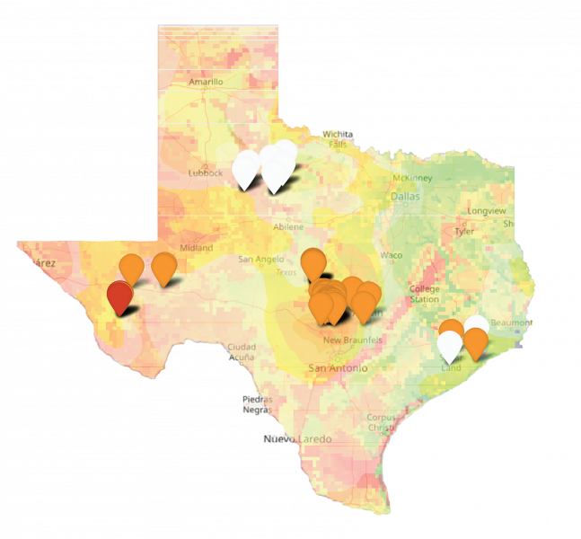
The result is a new web application that includes an interactive map of Texas showing satellite-derived drought information and the latest on-the- ground soil moisture readings from the 58 active TxSON stations.
The stations take precise measurements of precipitation, soil water content and soil temperature every five minutes at multiple depths — generally at 5, 10, 50 and 100 centimeters. Some TxSON stations are outfitted to take additional readings. Eight stations collect weather data, such as wind speed and direction, temperature, relative humidity and solar radiation. Three stations in West Texas measure water quality and flow at natural springs. These readings are also available on the interactive map.
View the map at: www.beg.utexas.edu/research/programs/txson/map
Back to the Geoscientist