
Scientific Cruise Investigates Cascadia’s Sleeping Fault
October 29, 2021
Late in the evening of Jan. 26, 1700, a mighty earthquake shook the northwest Pacific Ocean, unleashing a tsunami that wiped out coastal Native American and First Nations communities. The event was seared in the oral traditions of the few who survived. The fault that produced the earthquake — the Cascadia subduction zone — has remained silent ever since.
In June 2021, scientists went to the site of the earthquake aboard the R/V Marcus Langseth on a 41-day mission to image the fault and investigate how it might break in the future.
Co-led by Shuoshuo Han, a research associate at the University of Texas Institute for Geophysics (UTIG), the cruise sailed up and down the fault towing an 8-mile-long seismic antenna while additional sensors listened from the ocean floor and on land. Together, the instruments created the most detailed images yet of the subduction zone and the surrounding earth.
The power, speed and direction of an earthquake depends on the size of the fault, the stiffness of the plates, and the presence of smaller surrounding faults that might send the earthquake’s energy upward, creating a whiplash motion in the earth that triggers a tsunami.
Those variables are what the scientists hope to uncover with the cruise’s data.
“We cannot yet predict when the next big one will happen, but we can learn about the kind of earthquakes and tsunamis this margin produces and how we should prepare,” said Han, who first visited the fault in 2012 on a preliminary survey as a graduate student.
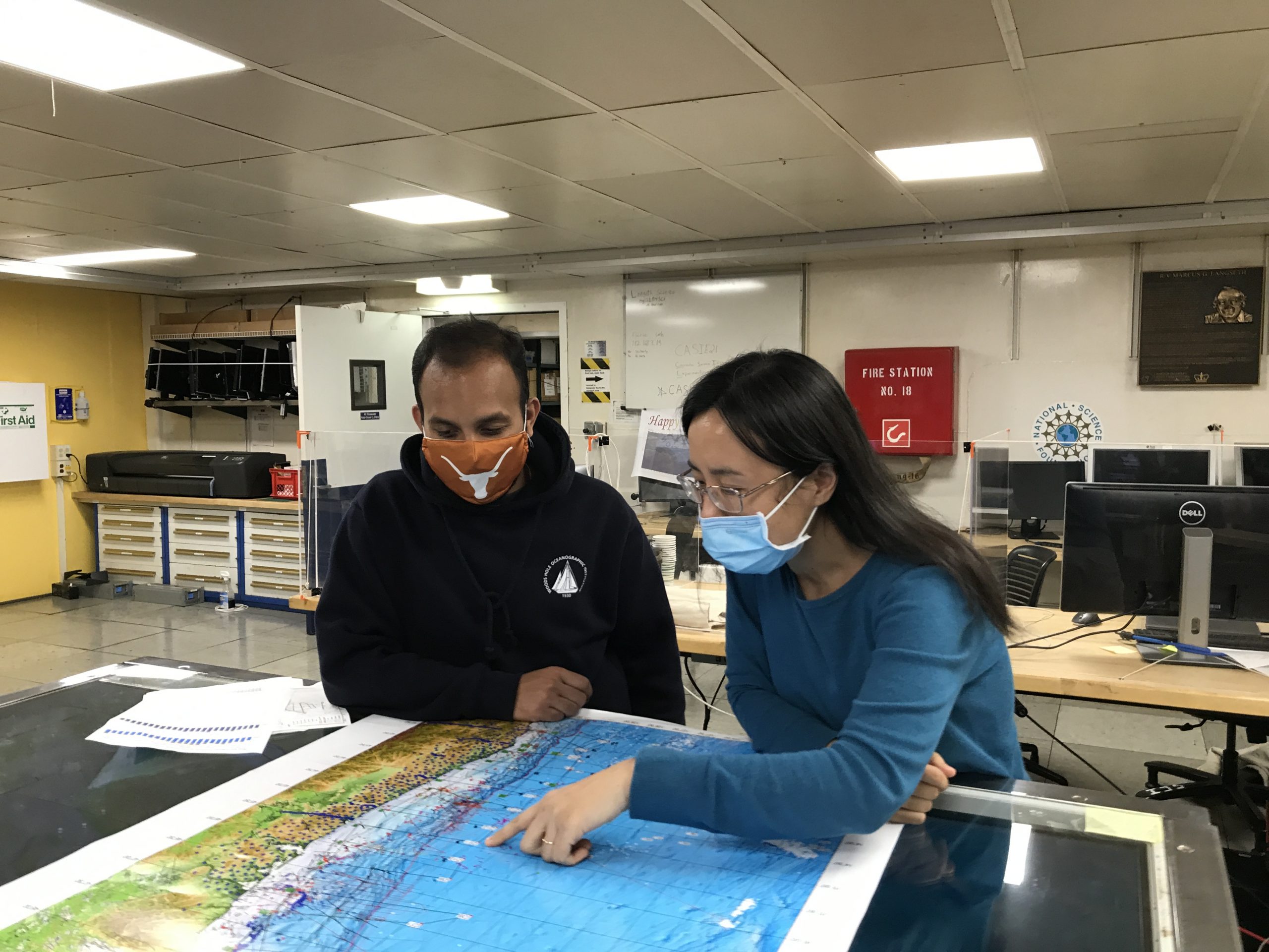
Han was joined at sea by UTIG postdoctoral fellow Bhargav Boddupalli, who was part of the team that deployed the oceangoing instruments and helped process the data as it streamed in. According to Han, the preliminary data showed, for the first time, the full structure and shape of the fault. The next task is to analyze everything they have learned about the fault and the earthquakes and tsunamis it might generate.
The cruise was led by Columbia University’s Lamont-Doherty Earth Observatory and included scientists from National Oceanic and Atmospheric Administration, Scripps Institution of Oceanography, University of California at San Diego, Woods Hole Oceanographic Institution, University of Washington, and Oregon State University.
Back to the Newsletter