
Rapid Response: Jackson School Researchers Study Aftermath of Hurricane Harvey on Texas Gulf Coast
April 24, 2018

BY MONICA KORTSHA
When Hurricane Harvey hit on Aug. 25, 2017, Jeff Paine was ready. Paine, a researcher at the Jackson School of Geosciences Bureau of Economic Geology and coordinator of its Near Surface Observatory (NSO), had been watching the storm since it was just a tropical wave in the Caribbean. When it rapidly gained strength approaching the Texas coast — going from a Category 1 hurricane to a Category 4 in less than 24 hours — he knew that there would be damage to the state’s beaches and barrier islands and that it would take geoscientists to understand the impacts on the coastal system, home to bustling communities, robust industries and rare bird rookeries.
Paine began discussions with colleagues at the General Land Office (GLO), the state agency that manages coastal lands and is a long-time supporter of coastal studies at the bureau. By the following Thursday, researchers from the NSO were surveying the aftermath from the air.
“Within a week of landfall we were out acquiring imagery and topographic data,” Paine said.
Paine and his group weren’t the only ones from the Jackson School to take to the coast. He was part of one of three research teams — one from each of the school’s research units — to conduct fieldwork in the aftermath of the storm. Thanks to the Jackson School’s Rapid Response program, they were able to quickly gather the resources and equipment they needed to get to the coast fast.
Time was of the essence. Evidence of the damage caused by the hurricane was starting to disappear, smoothed away by waves and wind or removed by communities on the mend. Disappearing with them would be valuable information on the potential lingering impacts of the storm on beaches, wetlands and the state’s narrow string of barrier islands — a delicate system that forms the first line of defense against powerful storms like Harvey.
AFTER THE STORM, INTO THE FIELD
The Rapid Response Program was created specifically with speed in mind. The program funds fieldwork in the aftermath of natural disasters — research that is vitally important for understanding nature’s most powerful forces and their impacts on society, but understudied because of the logistics of funding research on the fly, especially in disaster areas.
The program has sent Jackson School scientists to measure aquifer contamination in the Philippines after Typhoon Haiyan in 2013, and study the seafloor for signs of coastal erosion in the wake of Hurricane Ike in 2008 and Superstorm Sandy in 2012. After Harvey, the school quickly mounted a multi-pronged research mission that leveraged the expertise and resources of its research units.
Paine’s mission was the first to take to the coast. Supported with funds from the GLO as well as the Rapid Response program, he and a team of scientists from the bureau’s NSO research group captured changes from the air using high-resolution photography and LIDAR, an imaging technique that measures landscape elevation. From early September through October, they surveyed the entirety of the Texas Gulf shoreline — flying from South Padre Island near the mouth of the Rio Grande River to Sabine Pass along the Louisiana border. The bureau’s GLOsupported research focused on quickly getting images of the beach and dune system, shipping channels, bays and bird rookeries back to the state so workers could assess damage in these important areas and begin cleanup and recovery efforts.
“Collecting data early doesn’t help if you can’t get it out to anybody for them to use,” Paine said. “So we had next day delivery … each day we flew we added more data to an online map viewer so emergency responders could go to this website and look for evidence of beach hazards or damaged infrastructure out in the bay.”
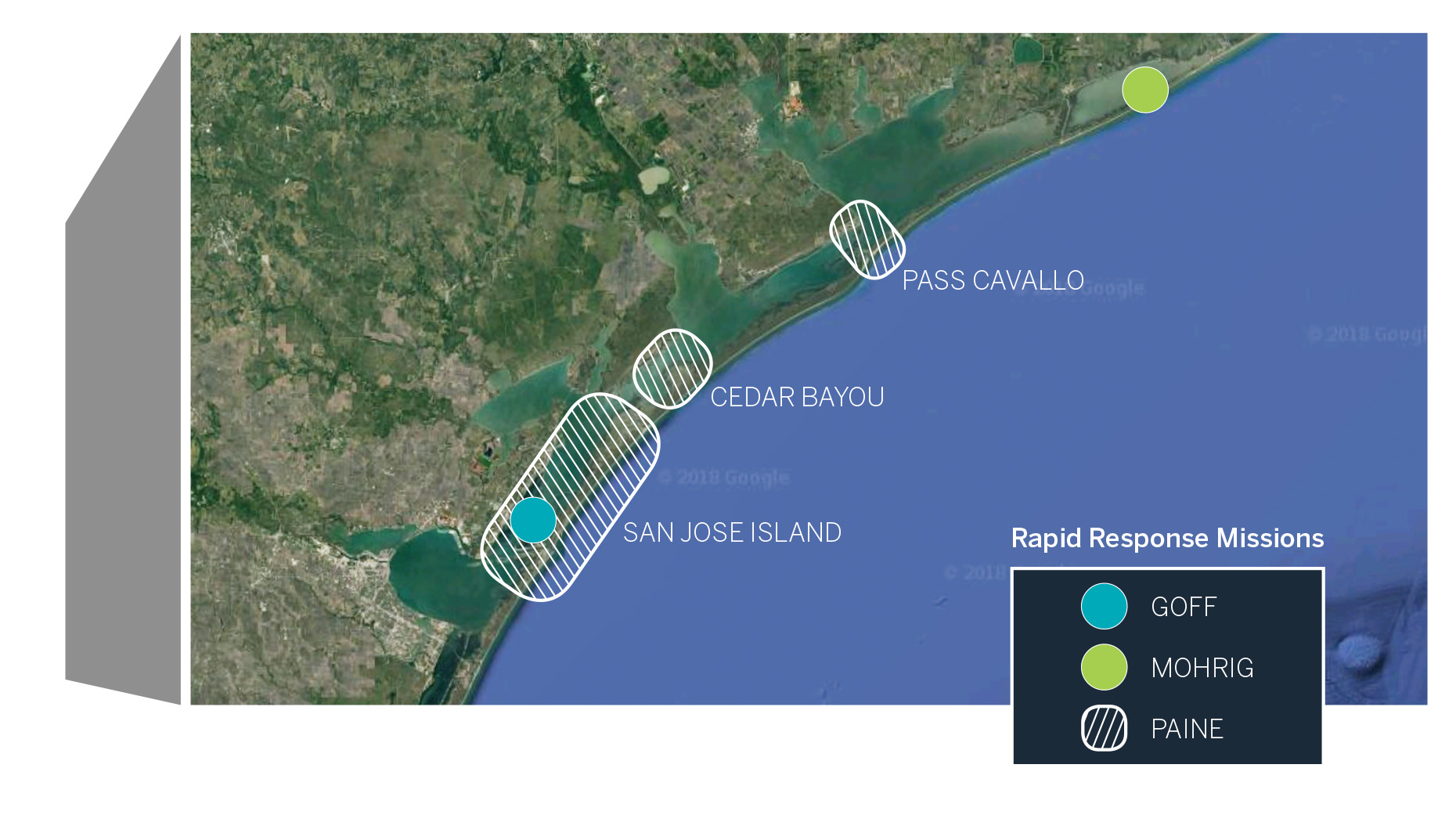
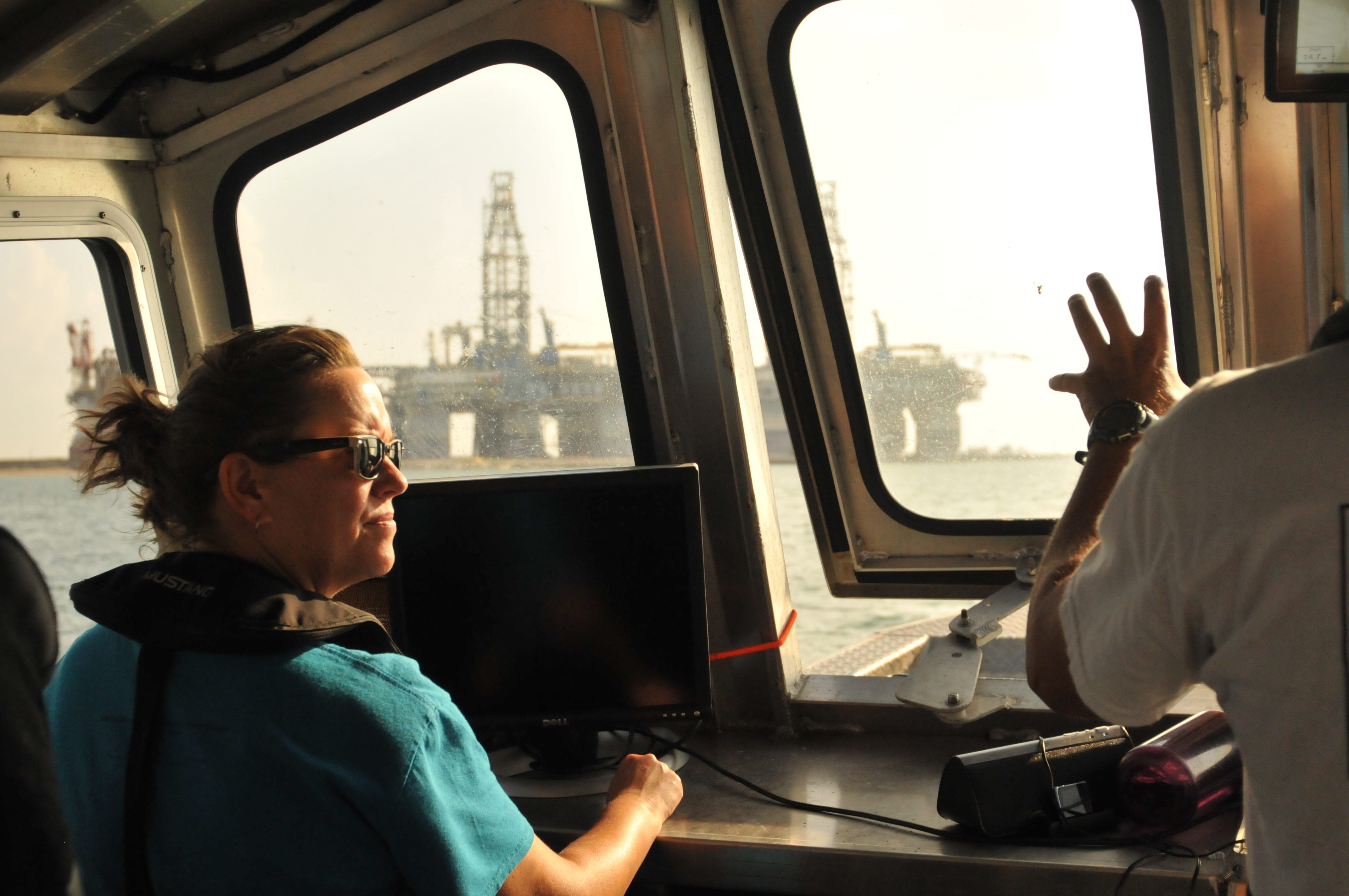
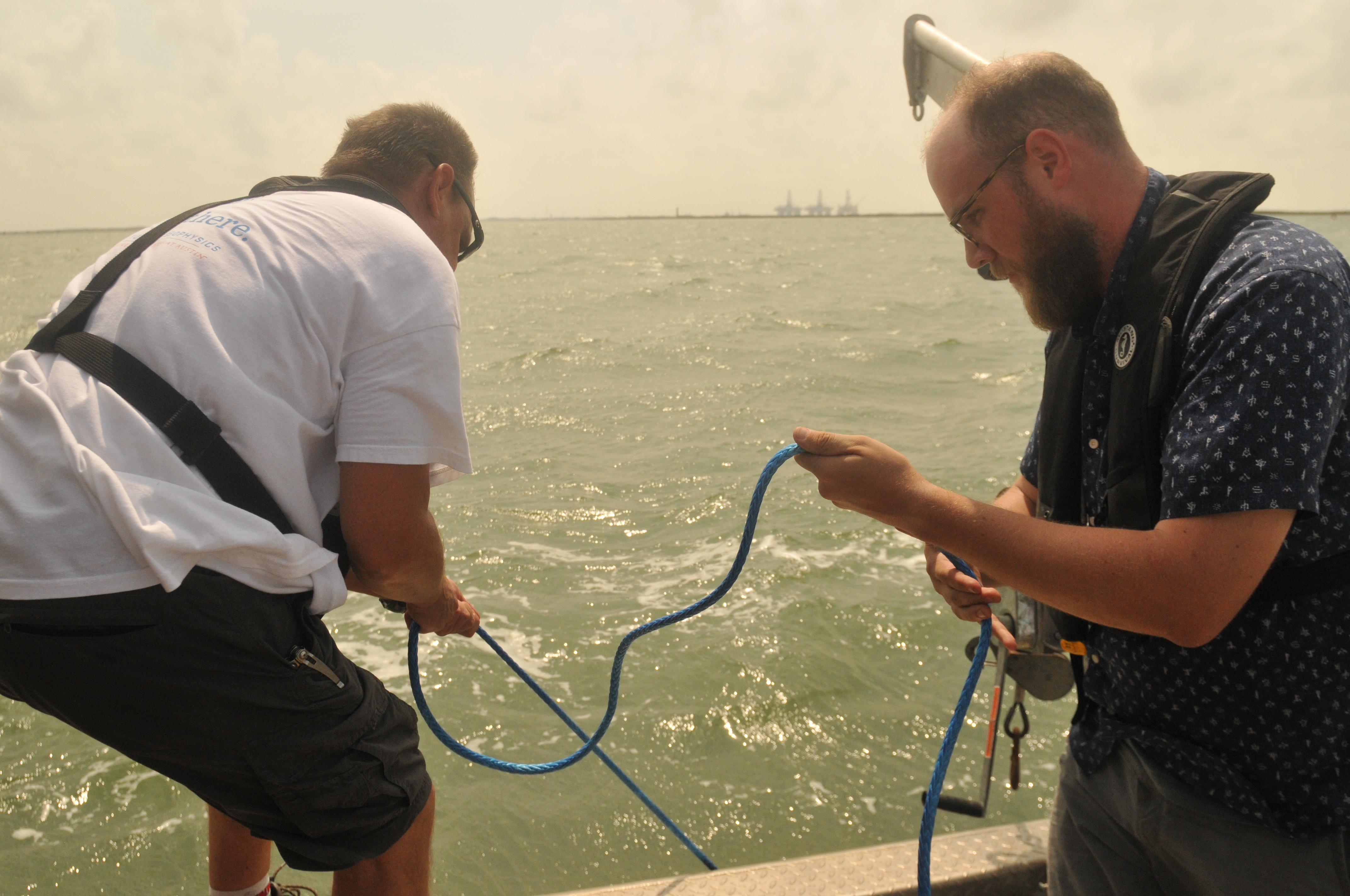
The other missions gathered on-site data about sand and sediment — the primary ingredients that build the barrier island system. John Goff, a senior research scientist at the University of Texas Institute for Geophysics (UTIG), went to the coast in September to collect information on seafloor sediments in Lydia Ann Channel and Aransas Pass during a four-day seismic survey. And in October, David Mohrig, a professor in the Department of Geological Sciences, studied the seashore of Matagorda Peninsula and Sargent Beach during a threeday mission that included Jackson School undergraduates Arisa Ruangsirikulchai, Matthew Nix and Mitchell Pham, as well as Ph.D. students Kathleen Wilson, John Swartz and Benjamin Cardenas, and postdoctoral researcher Eric Prokocki.
“All barrier islands are made of sediment — sand, silt and clay,” said Swartz, who took part in both Goff’s and Mohrig’s missions. “The islands protect everything [along the coast], refineries, communities, fisheries. Understanding how they’re built up and destroyed is really important.”
Ph.D. student Hima Hassenruck-Gudipati also studied sediments in the wake of Harvey. But instead of going to the coast, she led a mission to an inland floodplain in Liberty, Texas, a small city about 40 miles east of Houston. The storm dumped 55 inches of rain on the area, part of a deluge that set rainfall records across Houston and East Texas. The downpour inundated the plain and caused the Trinity River to overflow its banks.
“When we got there, the water on the floodplain was moving faster than what we were expecting, so it took some courage to be like ‘OK, let’s just go for it,’” HassenruckGudipati said.
She and two field assistants, Timothy Goudge, a Jackson School postdoctoral researcher, and Katja Luxem, a Ph.D. candidate in the Department of Geosciences at Princeton University, spent two days on the scene. They piloted a canoe through the floodwaters collecting data on the speed of the current, a key variable for estimating the size of sediment moving through the water and how far it could be deposited on the plain once the water subsided.
HARVEY BY THE NUMBERS
From the coast to the floodplain, the movement of sediment influences how a landscape is built up or broken down over time. The initial findings from the Rapid Response missions show that Harvey took a toll on Texas beaches by moving massive amounts of sediment away from barrier island beaches and into the ocean.
According to the LIDAR data, San José Island, a 21-mile-long barrier island off the coast of Rockport, lost about 125 feet of its gulf-side beach and about 13 feet of dune elevation. And Matagorda Island, a 38-milelong barrier island across from the Aransas National Wildlife Refuge, lost about 75 feet of its gulf-side beach and about three feet of dune elevation.
It’s normal for barrier islands to lose large amounts of sediment during storms. According to Paine, a more important factor influencing the long-term integrity of the islands is whether the swept-away sediment will make its way back to shore.
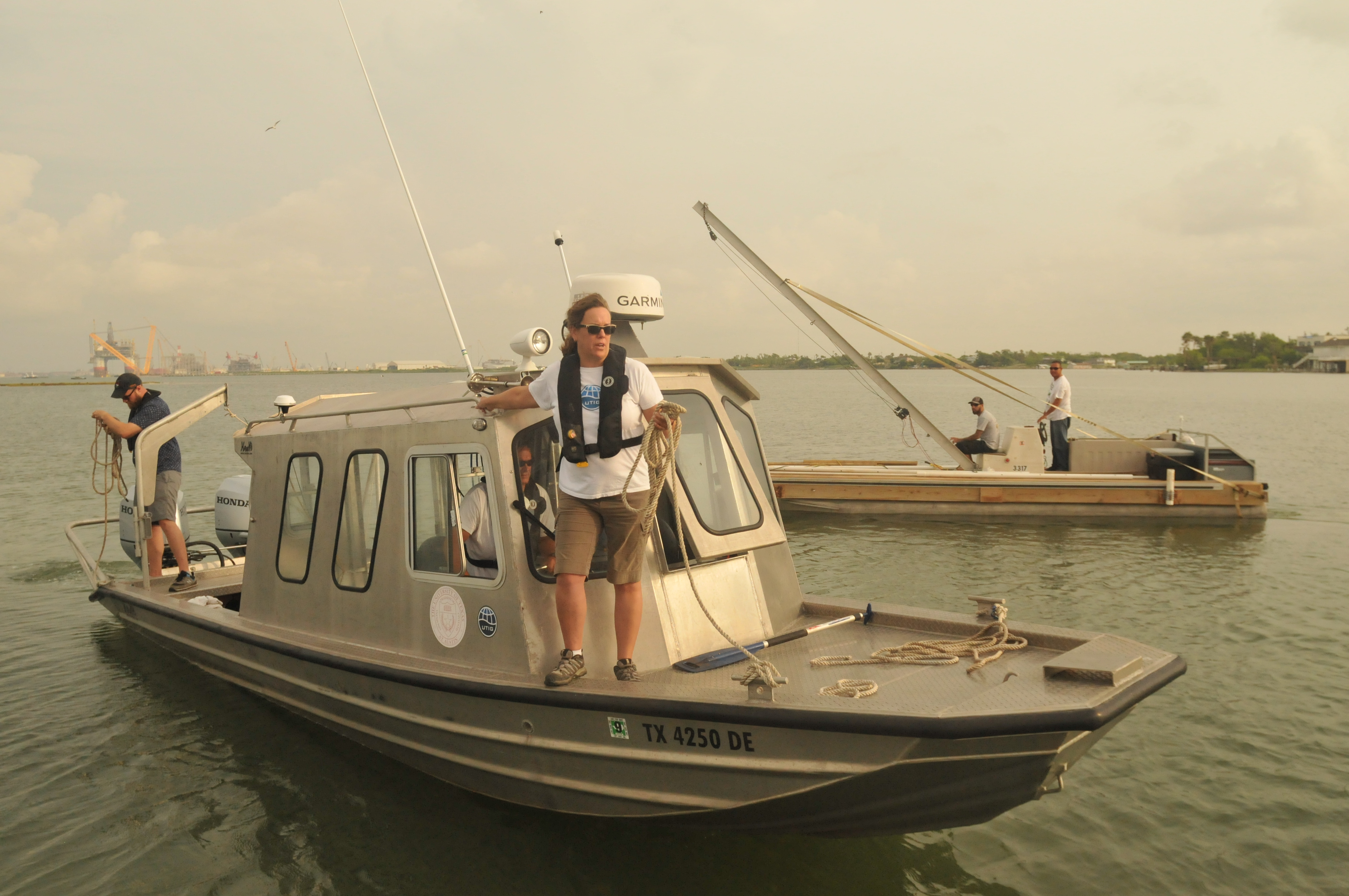
Scientist Associate Marcy Davis at the bow of the R.V.
Scott Petty, the research vessel used to conduct marine
seismic surveys in channels off the Texas Gulf Coast.
“If it’s just offshore in the Gulf of Mexico, that’s what will feed recovery from the storm,” Paine said.
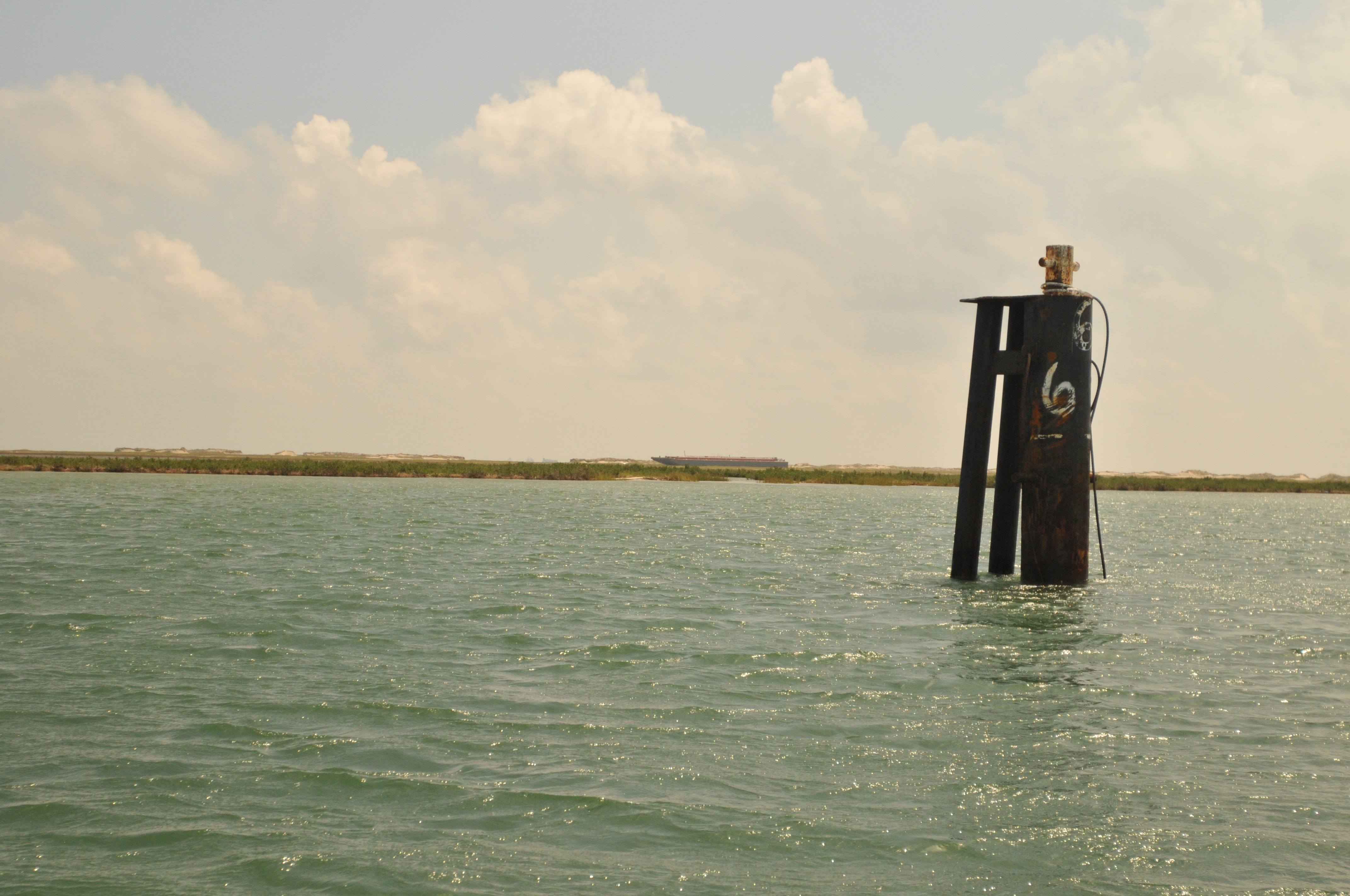
Data collected from the seafloor surveys of Lydia Ann Channel and Aransas Pass indicate that the hurricane’s storm surge exited the waterways at high speed, eroding away parts of the seafloor and sweeping away large amounts of sediment offshore of the Gulf. The survey revealed that as it moved out to sea, some of the sediment became caught in basins eroded by the outflow of water — creating piles of sediment up to 20 feet thick. This captured sediment will stay in the coastal system, at least for now. But the sediment that exited the waterway has a much more uncertain fate.
Two jetties that reach out from the mouth of Aransas Pass toward the Gulf may have exacerbated the loss of sediment by acting like the nozzle of a hose — concentrating the fast-flowing water through a narrowed passageway and shooting it out to sea.
“Without the jetties, the sand could have just been deposited [outside the channel],” Goff said. “The jetties channeled the sediment offshore.”
Just how far offshore the sediment went will be the factor that determines if it will make its way back to the barrier island system. If it went beyond what’s known as the “depth of closure” (the exact values of the depth and distance of this area are still up for debate) the sediment exits the barrier island system completely. At this point, it’s unlikely to ever return.

a Rapid Response mission led by Jackson School Ph.D. student Hima Hassenruck-Gudipati to collect data during a flood caused by Hurricane Harvey’s record breaking rainfall.
Away from the coast in Liberty, Hassenruck-Gudipati found that the flood water maintained high enough speeds to spread sediment thousands of feet away from the river banks that usually contain it. Her research revealed that while the coast lost sediments, the floodplain near Liberty gained them — and in a much broader area than expected.
“We thought that any sedimentation would happen locally near the banks, not a half kilometer from the bank,” said Mohrig, who is Hassenruck-Gudipati’s Ph.D. advisor.
The data showed otherwise, with the water maintaining speeds that could whisk away sediments over a larger area and depth range than expected and leave deposits in the middle of the floodplain when the water dried up. Over time, where sediment is deposited during flooding events can influence the lay of the land, which impacts the area’s susceptibility to future floods. Sediment distribution is also a good indicator of how easily other flood-borne substances, from nutrients to synthetic chemicals, can be transported from rivers to floodplains. The data collected by the Rapid Response missions are a baseline that researchers and policy makers can use to gauge Harvey’s impact. But the measurements are more than a record of hurricane damage along the Texas coast. The research is helping reveal the complex interactions between wind, land and sea that can turn large hurricanes into erosional power houses.
COASTLINES UNZIPPED
There’s a theory that coastlines hit by hurricanes are more susceptible to erosion by future storms. Mohrig describes the theory as an “unzipping” process, where the initial disturbance of vegetation and sand by a storm makes it easier for future storms to whisk additional sediment away.
“Once you’ve unzipped it, it’s much more susceptible to future reworking by subsequent storms that happen in fairly short order,” Mohrig said.
The theory makes sense conceptually. But currently, there’s a lack of evidence to document just how much more easily a coastline is eroded after an initial hurricane strike. A fan of sediments deposited on beaches by Harvey’s storm surge is providing raw data to study the unzipping theory in a real-world environment.
Mohrig and his team expected to find an uninterrupted fan of sediment during their beach surveys, with the sediments recording how far inland the storm surge reached. Instead, they found that the fan contained breaks — areas where the sediments appeared disturbed. They initially attributed the breaks to the surge receding and advancing at different points during the storm. However, aerial photos of the fan collected by Paine’s mission and data on wave energy off the coast in the weeks following Harvey suggested a different story.
Mohrig now believes that the fan breaks were caused by swells of water pushed ashore by Hurricane Nate or Hurricane Irma — or both. These two storms made landfall in Louisiana and Florida, respectively, in the weeks following Harvey. The findings are key because they suggest that subsequent storms don’t have to hit Texas to take a toll on its coast.
“This is the most interesting thing to report scientifically, this idea that you can remobilize these things by far afield events,” Mohrig said.
BUILDING ON KNOWLEDGE
It will take years to understand the longterm impacts of Hurricane Harvey on the Texas Gulf Coast. The data retrieved by the Rapid Response missions will be an important starting point for evaluating how the coast is recovering and what actions the state can take to prevent damage from future storms.
“Very rarely have data like this been collected so early,” Paine said. “We have good data for what the conditions were like right after the storm. And that’s really critical because the moment the storm passes, recovery begins.”
But the Rapid Response data is just part of what makes the analysis possible. The researchers were able to put their findings in context thanks to consistent monitoring of the coast by the Jackson School, and state and federal research organizations.
Paine compared his group’s LIDAR data with surveys conducted by the Army Corps of Engineers in 2016; Hassenruck-Gudipati had been monitoring the site in Liberty for months prior to Harvey, an effort that included mounting cameras in trees to record the floodplain under different conditions; and Goff’s baseline data for the seafloor surveys came from channel surveys collected in 2009 and 2012 by Jackson School students during their Marine Geology and Geophysics summer field courses.
Together, the data is helping Jackson School scientists evaluate the aftermath of the storm. It will take ongoing research to determine its long-term impacts and what should be done to mitigate them.
“It’s hard to know at this point how much permanent damage was done,” Paine said. “Material will be coming back to the beach and dune system within weeks, months and years after the storm.”