
Rapid Response Mission Helps Assess Earthquake Risk in South Pacific
December 7, 2007
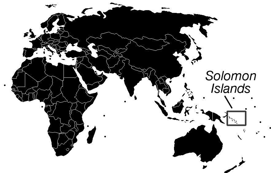
On Monday morning, April 2, 2007, residents of Gizo, a small fishing town in the Solomon Islands, were shaken by a massive earthquake originating 40 kilometers (25 miles) away beneath the seafloor.
“It started out slowly with slight shaking for maybe 10 or 15 seconds, then it kicked into full gear,” said Danny Kennedy, a dive shop owner in Gizo and member of the local government. Kennedy’s home overlooks the Coral Sea in the South Pacific Ocean.
“I was on the veranda with a cup of coffee in my hand, taking in the sea views, when our daughter Judith came running out of her room,” he recalled. “I told her to stay in the doorway. It was hard to stand up. I held myself between two door jambs—Judith did the same. It never seemed to end.”
When they finally looked around, everything was on the floor.
“We had a microwave that got pitched off the kitchen counter—it ripped the wires in two and left the plug in the wall,” said Kennedy. “The microwave ended up four meters away. It was a violent event.”
The U.S. Geological Survey later estimated it was a magnitude 8.1 quake, powerful enough to be classified as a “great earthquake,” a phenomenon that only occurs somewhere in the world about once a year. This was the first large quake in the region of the Solomon Islands in recorded history, although there is geologic evidence of uplift suggesting a large earthquake might have struck about 300 years ago.
“I describe it as walking into a friend’s house when he’s just got a new surround sound system and puts on some music and he turns it to full volume,” Kennedy said. “You feel it in your chest and your hair gets blown back. There’s nothing you can do besides stand there and hope nothing crashes down on your head.”
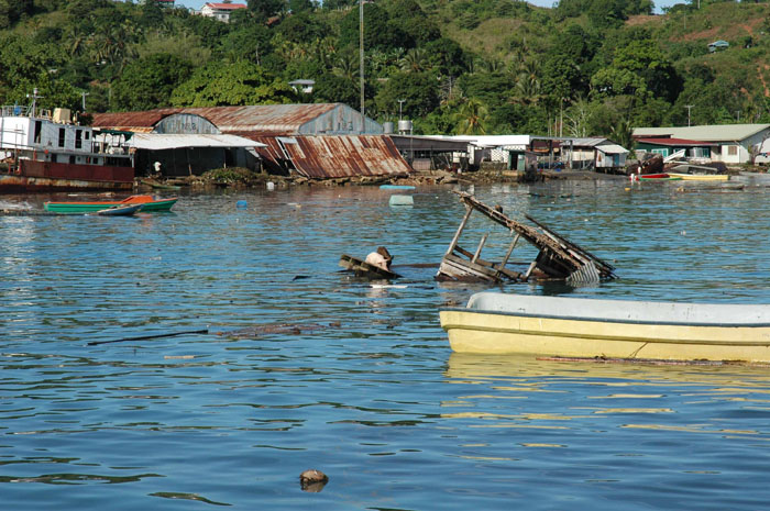
Then came the tsunami waves, in some places swelling four meters (13 feet) or higher. Tsunamis are caused by the rapid uplift or slumping of seafloor and the displacement of a proportionate amount of water. As the waves came crashing down on the coasts of these Pacific islands, traditional homes made of bamboo and palm were smashed.
According to official government reports, at least 52 people were killed and more than 6,000 displaced from their homes. Kennedy’s dive shop was heavily damaged and much of the town of Gizo was destroyed. As they rebuild, many in the Solomon Islands now wonder if another great quake is imminent.
Rapid Response
Fred Taylor, a researcher at the Jackson School’s Institute for Geophysics who has done geophysical field work in the Solomon Islands since 1986, recognized that amid the tragedy, there was an opportunity to conduct fundamental research that could help assess the threat of future quakes in the area. But he had to act fast.
Following a major earthquake, land that convulsed violently continues to move, albeit more subtly, for months. It was crucial that someone document how the land had moved right after the quake and then continue to track movement over time. Computer models could then help determine whether stresses underground in certain places were continuing to build or were slowly releasing. If the former was the case, it would show that the clock on the next seismic bomb had not been stopped but merely reset.
Scientists typically spend weeks or months preparing applications for research grants from government agencies or foundations. Then they wait several more months for the applications to be reviewed. Few, if any, organizations are prepared to decide on a few day’s notice to fund a rapid response project.
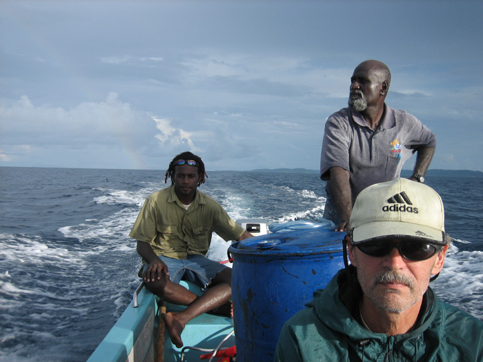
Ringside SeatFor 20 years, Taylor has done fundamental research in the Solomons, an island arc in the famous Pacific Ring of Fire. |
“The National Science Foundation cannot hand you thousands of dollars in a couple of days,” said Taylor. “They just aren’t geared to do it.”
Thanks to the leadership of the Jackson School, Taylor’s request was approved within a week. He left for the Solomons just 10 days after the earthquake.
“The trip wouldn’t have happened without the Jackson School’s support,” said Taylor. “We are extremely grateful for that.”
As part of its new strategic plan released in the spring of 2007, the Jackson School lays out the vision for building a rapid response capability. Taylor says three things are still needed to make it a reality: a stockpile of dedicated equipment such as GPS instruments, new staff members who have expertise in GPS data collection and analysis, and a streamlined system for receiving the necessary funds.
Taylor borrowed GPS instruments from UNAVCO, a consortium of research institutions including The University of Texas at Austin that supports earth science research involving the measurement of deformation. Abel Brown, a graduate student from Ohio State University helped set up the instruments and collect data. Mike Bevis, another colleague from Ohio State, helped with the GPS processing and analysis. A postdoctoral researcher from the California Institute of Technology, Rich Briggs, also came along for two weeks to help take measurements.
“We were lucky to get instruments from UNAVCO,” said Taylor. “For rapid response, we need a few of our own instruments.”
While funds were approved for Taylor’s trip, handling the actual cash flow between approval and disbursement was a challenge. Taylor highlighted this as an area where improvement is necessary if a large public institution like The University of Texas at Austin seeks to enable rapid response teams.
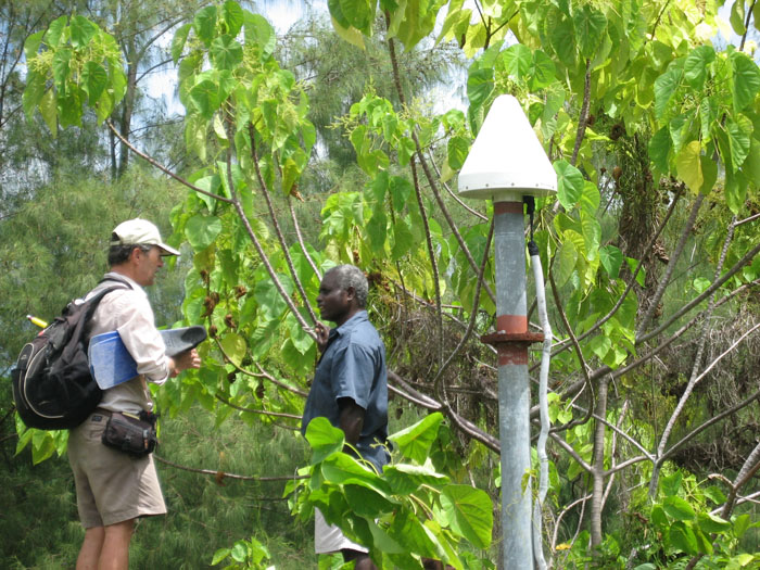
Fortunately, Taylor already had GPS readings of the elevation and horizontal position of different spots around the Solomons before the earthquake. He and a graduate student, David Phillips (now with UNAVCO), had even left behind seven benchmarks, metal posts driven into solid rock, which he could go back to. At the time of this interview, he and his team were still evaluating the new GPS data and comparing it to earlier measurements.
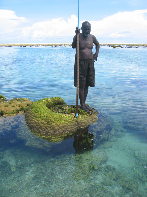
So far, corals growing adjacent to the islands have provided the best picture of what happened during the earthquake. Each species of coral has a specific level with respect to sea level above which it cannot live, which is known as the highest level of survival (HLS). When they are displaced vertically, coral either die back to a certain lower level or start growing higher to compensate. By measuring the change in the shallowest HLS of coral of a given species, Taylor determines how far the seafloor has uplifted or subsided. This is known as coral geodesy.
The corals showed that in some places the earthquake had lifted the land as much as three meters. Other places had subsided. Where and how much the land shifted has provided some clues about what happened underground and what might happen in the future.
On the Other Hand
Based on the GPS and coral observations, Taylor and colleagues concluded that the rupture zone ran about 275 kilometers along the boundary of the Pacific Plate where it meets the Australian Plate and the Woodlark Plate. The land northeast of the rupture (on the Pacific Plate) was uplifted from Rendova Island up through Gizo and Ranongga toward Bougainville. The rupture zone did not extend southeastward beneath Rendova and Tetepare Islands. The land along this part of the plate boundary actually subsided.
Holding his two hands out next to each other, palms down with fingers straight, Taylor demonstrated what this part of Earth’s crust experienced before and during the quakes. His fingers slowly curled down demonstrating how the front edge of the Pacific Plate had been dragged down as other plates were diving, or subducting, beneath it. What his rapid response work showed is that during the massive April quake, one hand sprang back up, releasing its stress, while the other remained curled downward.
So what is that other hand doing?
“This could denote increased stress on this part of the convergent plate boundary which potentially increases the likelihood of a future earthquake on the interplate thrust fault underlying Rendova and Tetepare,” the team wrote in an unpublished preliminary report. “It also is possible that a seismic slip occurred beneath Rendova and Tetepare Islands and may have relieved stress and delayed the time of a future earthquake. Our GPS measurements on Rendova may reveal whether stress was relieved or if it increased following the 2 April 2007 event. We will report on this as soon as possible.”
Now back from his initial six week rapid response trip, Taylor hopes to return in the next few months to continue observing how the land shifts over time. In addition to GPS receivers, he’d like to bring with him instruments he didn’t have last time: seismometers.
“The seismometers would have cost a lot more than GPS receivers and been harder to get on short notice,” said Taylor.
In 2005, he and several colleagues applied to the National Science Foundation (NSF) to install eight seismometers in the Solomons and record seismic activity for a year, but that proposal was rejected. Had it been approved, the instruments would have been operating at the time of the April earthquake.
“Most proposals are not funded on the first try and so it was with this one,” said Taylor. “It is bad luck for us, but I would say that if we were not funded, then our proposal did not make as compelling a case as needed and it is up to us to do better. However, the Jackson School and Dean Eric Barron gave us an opportunity to get in there quickly and gather some critical data that will strongly underpin a new proposal to the NSF.”
Matt Hornbach, a research associate at the Institute for Geophysics, has created a computer model that shows how tsunami waves propagate. Using the topography of the sea floor around the Solomons, the magnitude and location of the April earthquake, and the amount of sea floor uplift and subsidence, the model successfully reproduced the general characteristics of the tsunami that struck Gizo and other locations. It might help Taylor and others predict which coastal areas are most vulnerable to future large quakes along this plate boundary.
Taylor said a better understanding of the paleo-earthquake history of the region could improve predictions of future earthquake risks.
“We know from previous work that Rendova and Tetepare have undergone episodic uplifts of one to three meters each that may have been accompanied by tsunamis,” the team reported, citing evidence in the form of emerged coral reefs and blocks of coral that appeared to have been thrown onto Tetepare by large waves. Ranongga also experienced large and rapid uplifts in the past.
“Such events are certain to happen in the future,” the report continued. “However, the question is whether such future events are in the distant or the near future. At this point we simply do not know.”
by Marc Airhart