
Real-Time Soil Moisture Data Now Possible
December 17, 2025
Soil moisture data provides key insights into weather and climate patterns, flooding potential, wildfire risk and agricultural production. But it has always been a few days behind. Now, for the first time, researchers at the Bureau of Economic Geology have changed that, capturing real-time soil moisture data.
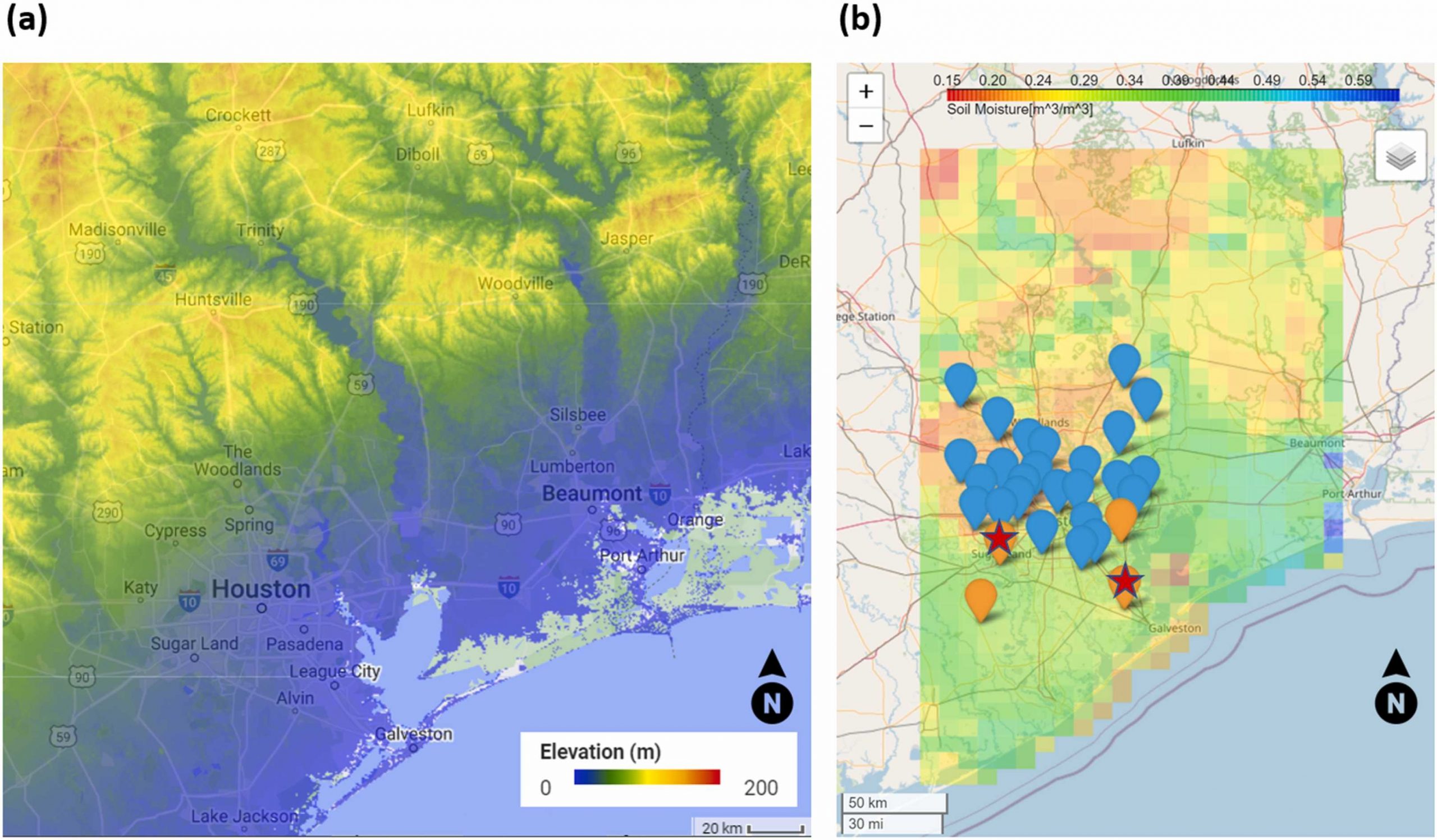
The researchers developed a model that integrates advanced machine learning techniques and different data sources. This includes data from NASA’s Soil Moisture Active Passive (SMAP) satellite and the Texas Soil Observation Network (TxSON), which has field-based monitoring stations across the state.
The approach uses the data to generate accurate, real-time estimates of soil moisture. The researchers tested their methods in a 56,000-square-kilometer area that includes Houston. They then compared their real-time estimates with actual data released by NASA.
Accurately estimating real-time soil moisture levels is a complex, yet crucial task, especially in areas prone to natural soil moisture-related hazards, such as fire, flood and drought.
Research by Research Assistant Professor Hassan Dashtian, Associate Dean and Research Professor Michael Young, project manager Bissett Young, Research Assistant Professor Ashraf Rateb, Research Scientist Associate Tyson Mckinney, and Professor Dev Niyogi
Bureau of Economic Geology; Department of Earth and Planetary Sciences
Published in December 2024 in the Journal of Hydrology