
New Model for Predicting Landslides
December 18, 2025
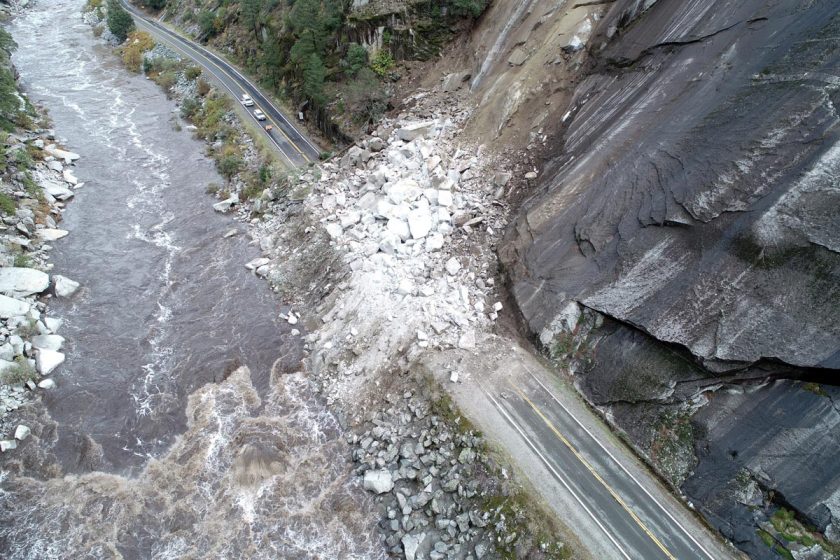
Landslides are a perennial threat in California. Now, researchers studying two large Northern California landslides think they’ve found the key to predicting landslide motion hidden in the very rocks where they happen. And it’s thanks — in part — to earthquake science.
The researchers found that much of the physics and geological factors behind California’s earthquakes and landslides are the same. By applying earthquake rules to landslides, the researchers believe they have a technique that can predict how easily — and how fast — a surface will slide when rainfall increases.
The technique involves analyzing the rocks that are found along the California Coast Ranges, where landslides frequently occur. The researchers found that when the rock is clay-like and soft, the land surface moves easily but slowly, shifting a few inches or feet over a matter of weeks. Harder rocks, however, are less able to move, allowing strain to build, and leading to faster, more catastrophic landslides when the earth does finally fail.
Research by UTIG Director and Professor Demian Saffer
University of Texas Institute for Geophysics; Department of Earth and Planetary Sciences
Published in October 2024 in Science Advances