
Taming Wildfire With Technology
December 8, 2024
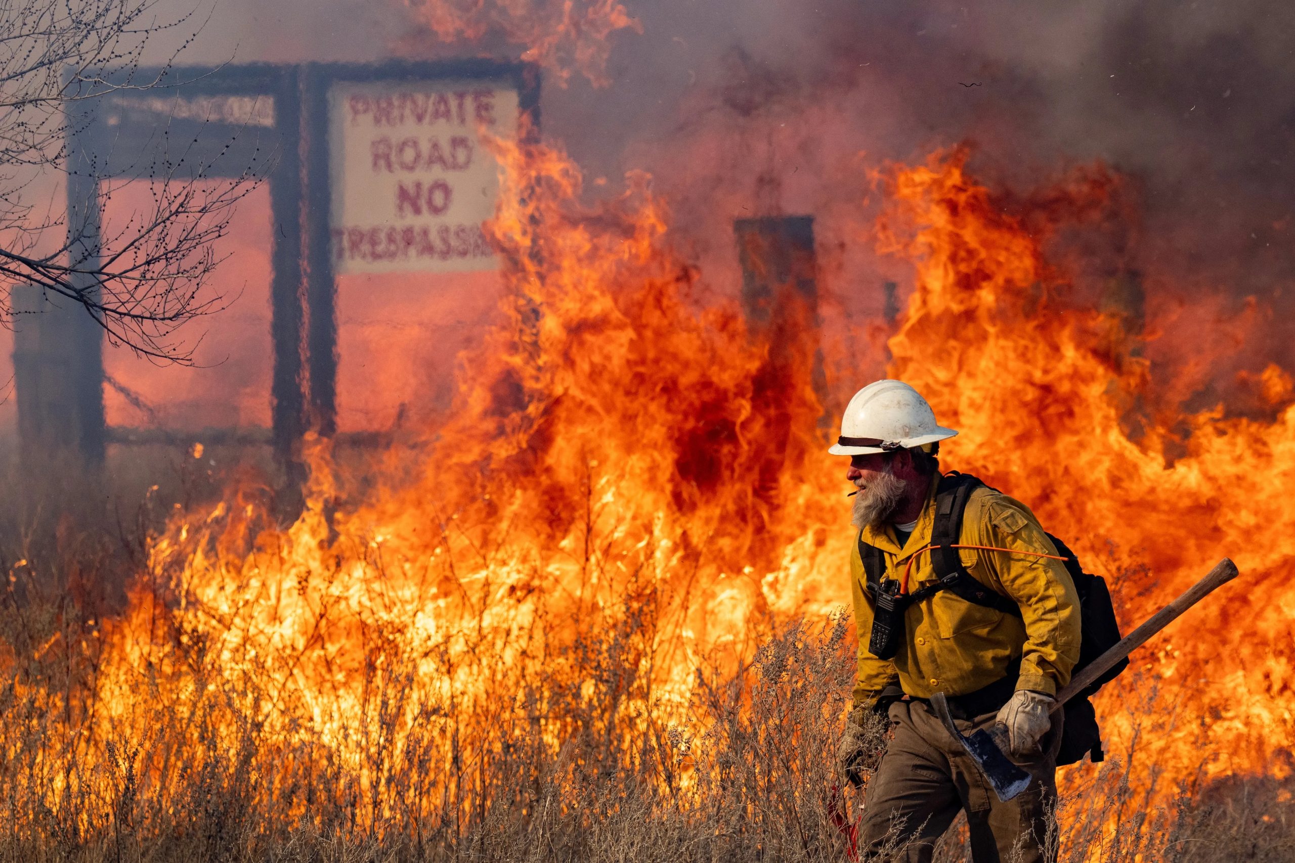
Photo: Texas A&M Agrilife Marketing and Communications, Sam Craft.
Wildfire risk is a growing concern across the country. That includes here in Texas, where the state’s largest recorded wildfire caused devastation across the Panhandle in February. Although flames may become wild, they’re not inscrutable. They hold data about the fire’s potential rate of spread, intensity and emissions. Being able to collect this data as a fire is happening could help with fighting it.
James Thompson, a research assistant professor at the Bureau of Economic Geology, is collaborating with the U.S. Fish and Wildlife Service (FWS) to test spectral imaging technology that can collect data from wildfires in the moment. Thompson received a NASA grant in fall 2023 to develop this technology, which can attach to an airplane or drone and collects multispectral infrared images of the fire. The device then processes these images for spectral changes that relate to gases, thermal emissions and smoke composition.
Wildfires are a new application for the technology, which Thompson started developing while he was in graduate school to study active volcanoes as part of his doctoral research. “I did my Ph.D. on remote sensing of volcanoes,” Thompson said. “But fire is something that I’ve always been interested in pursuing, and the idea for the instrument I’m developing was always planned on being a very versatile tool that can be used widely.”
For now, Thompson is working with researchers at the FWS Balcones Canyonlands National Wildlife Refuge near Marble Falls to test the technology on controlled burns, which the FWS is studying as a means to restore the native Texas Hill Country ecology and fight the spread of invasive species.
Back to the Newsletter