
A New Way to Look Inside the Earth
December 8, 2024
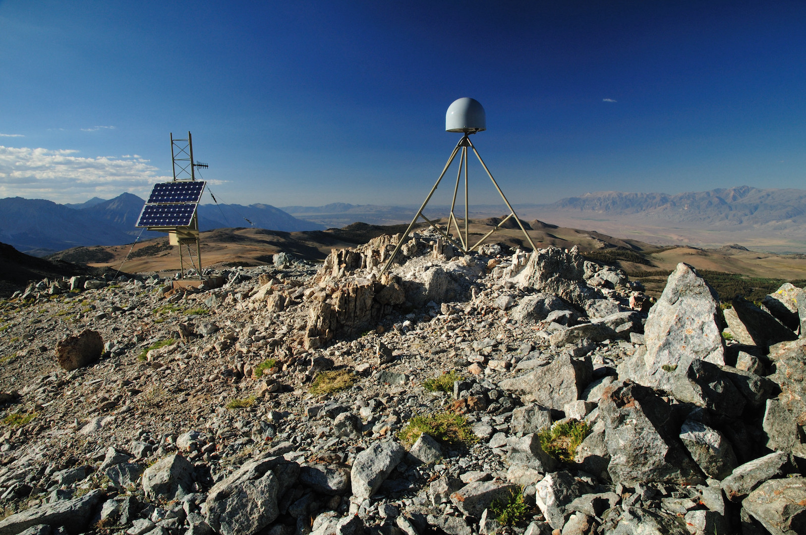
Surface mapping technology such as GPS, radar and laser scanning have long been used to measure features on the Earth’s surface. Now, a new computational technique developed at the Jackson School of Geosciences is allowing scientists to use those technologies to look inside the planet.
Described by researchers as “deformation imaging,” the technique provides results comparable to seismic imaging but also offers data about the rigidity of the planet’s crust and mantle. This property is essential for understanding how earthquakes and other large-scale geological processes work, said Simone Puel, who developed the method for a research project at the University of Texas Institute for Geophysics while in graduate school.
“When combined with other techniques like seismic, electromagnetic or gravity, it should be possible to actually produce a much more comprehensive mechanical model of an earthquake in a way that has never been done before,” Puel said.
Puel, who is now a postdoctoral scholar at the California Institute of Technology, published the research in Science Advances in 2024. It used GPS data recorded during Japan’s 2011 Tohoku earthquake to image the subsurface down to about 100 kilometers underground.
The image revealed the tectonic plates and volcanic system beneath the Japanese portion of the Pacific Ring of Fire, including an area of low rigidity that’s thought to be a deep magma reservoir feeding the system. This is the first time such a reservoir has been detected using only surface information.