
Field Camps
GEO 660
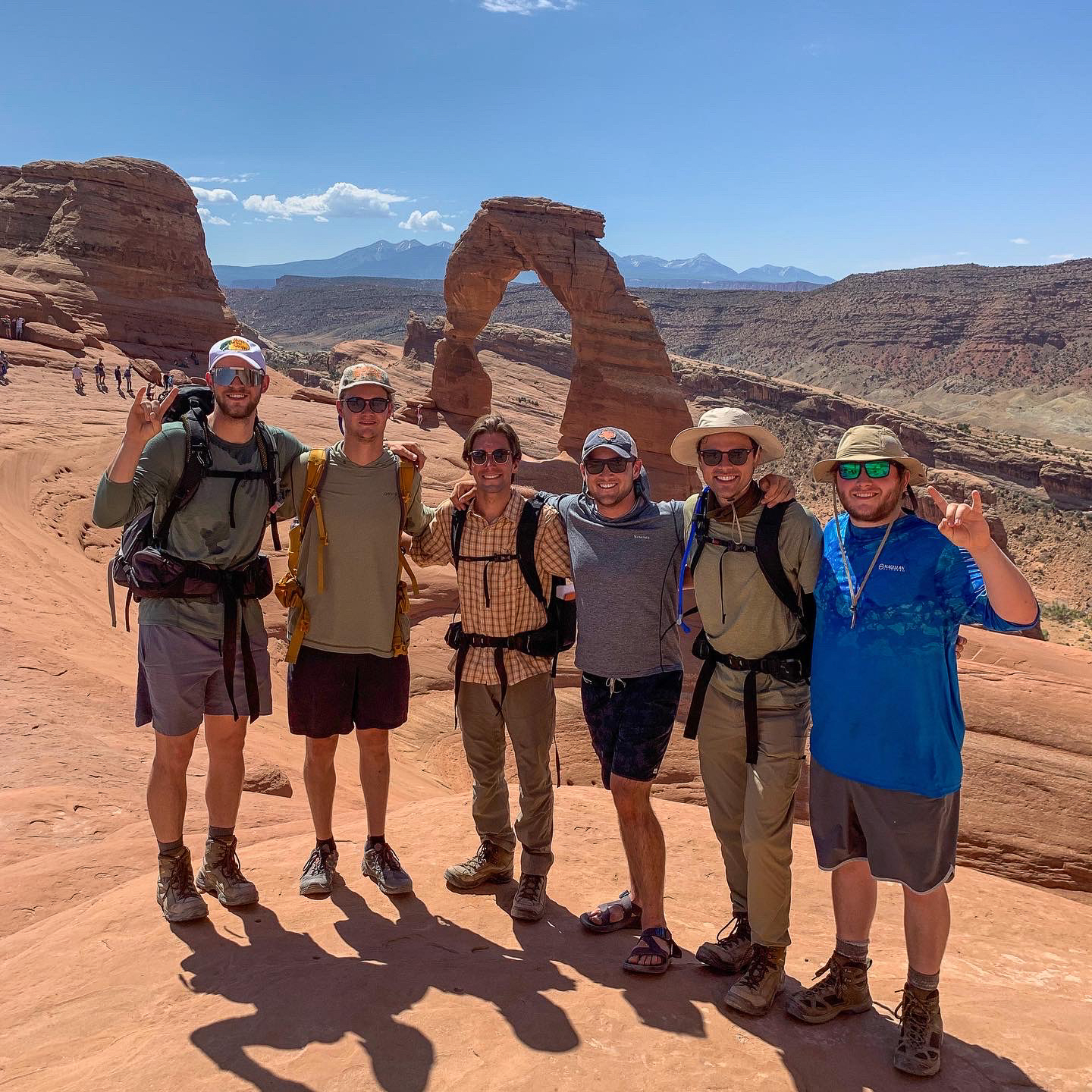
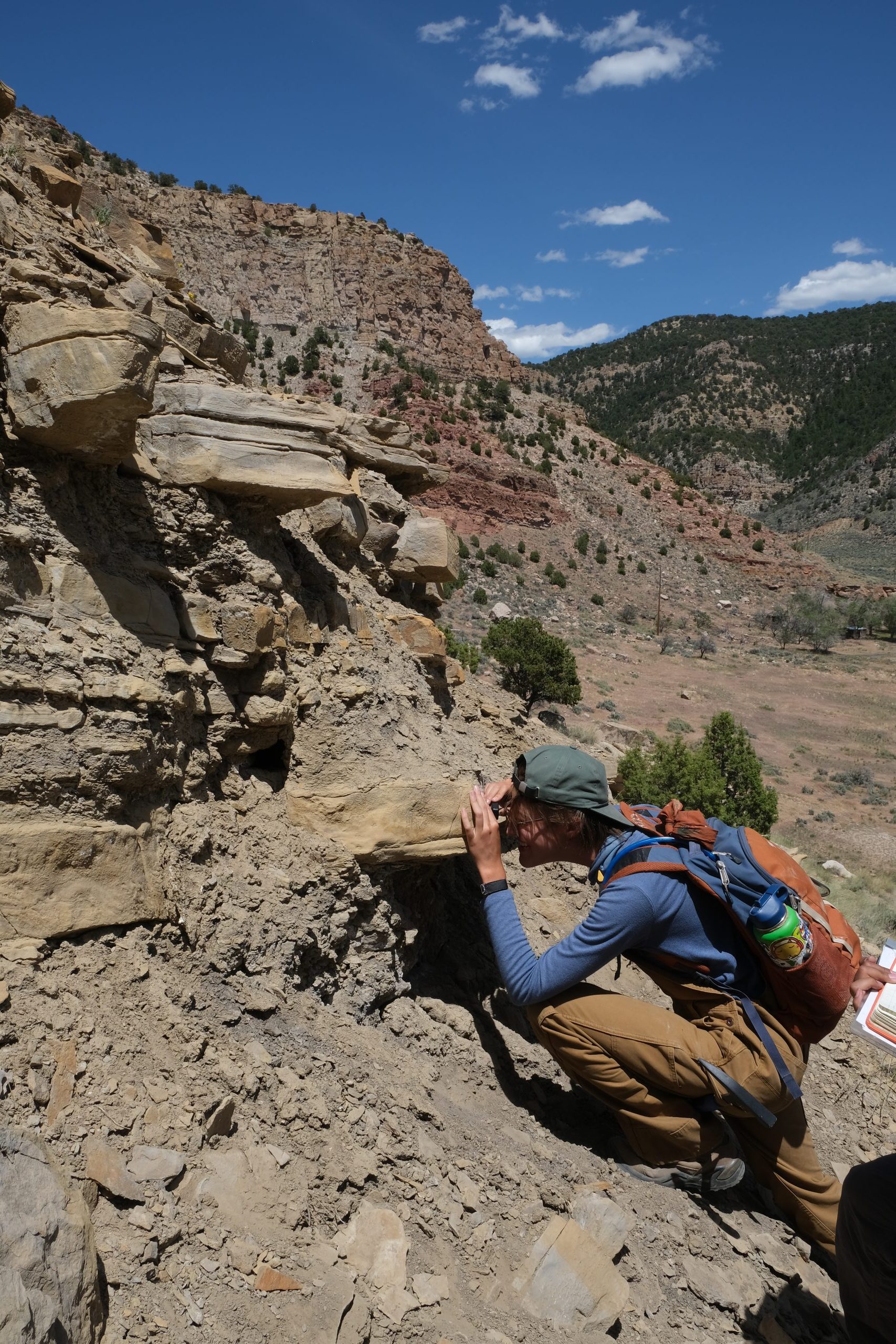
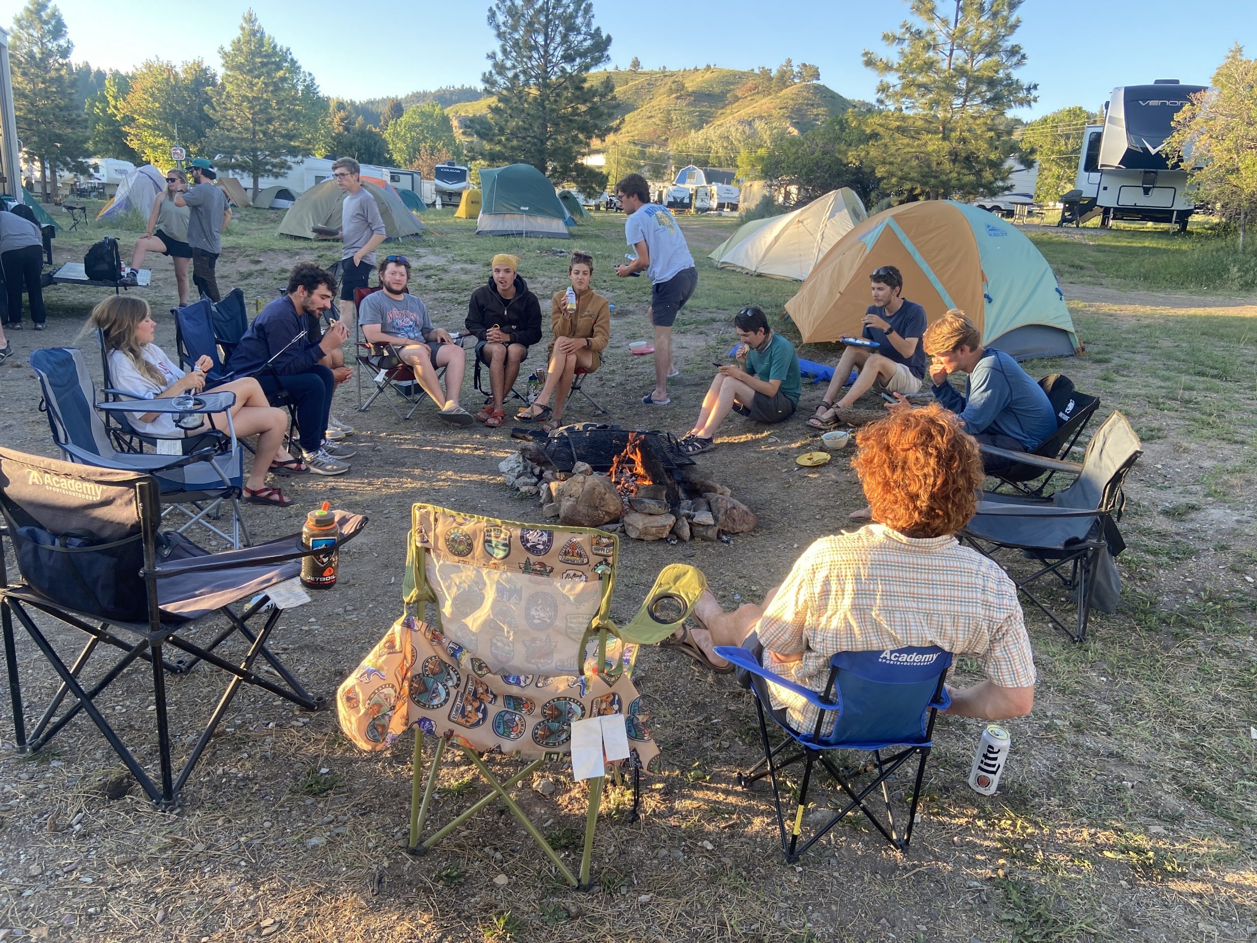
After two years of pandemic disruptions, GEO 660 students returned to the usual six-week field camp. It was a fitting return to form for the final field camp led by Mark Helper, who retired this year after 27 years as field camp director (Read more, Mark Helper: Distinguished Senior Lecturer Emeritus). This year’s camp traveled to New Mexico, Utah, Wyoming and Montana. Wildfire risks led to the closure of some sites in New Mexico, but instructors successfully rerouted to safer alternatives, and students were able to complete their field projects as planned.
MG&G
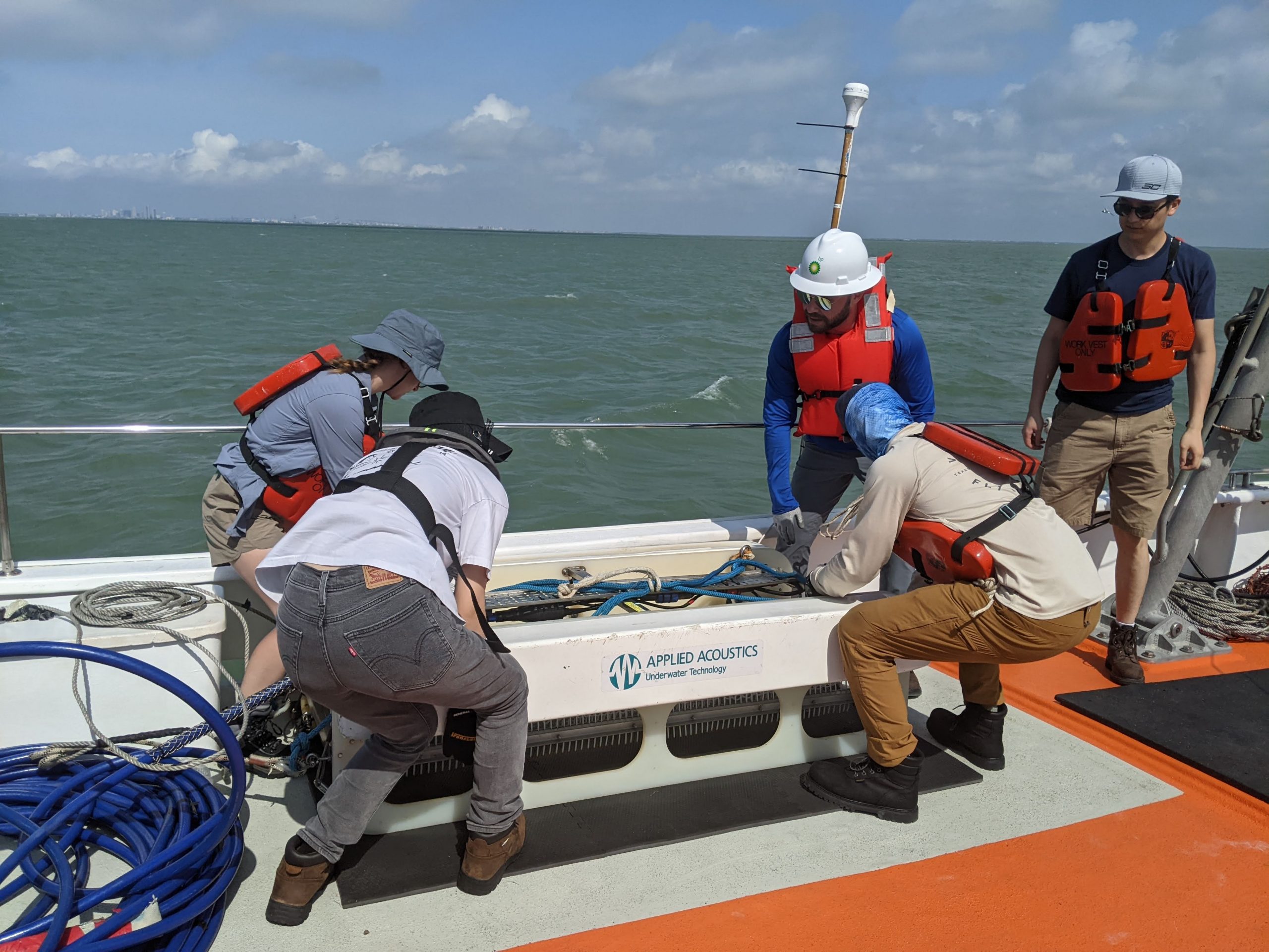
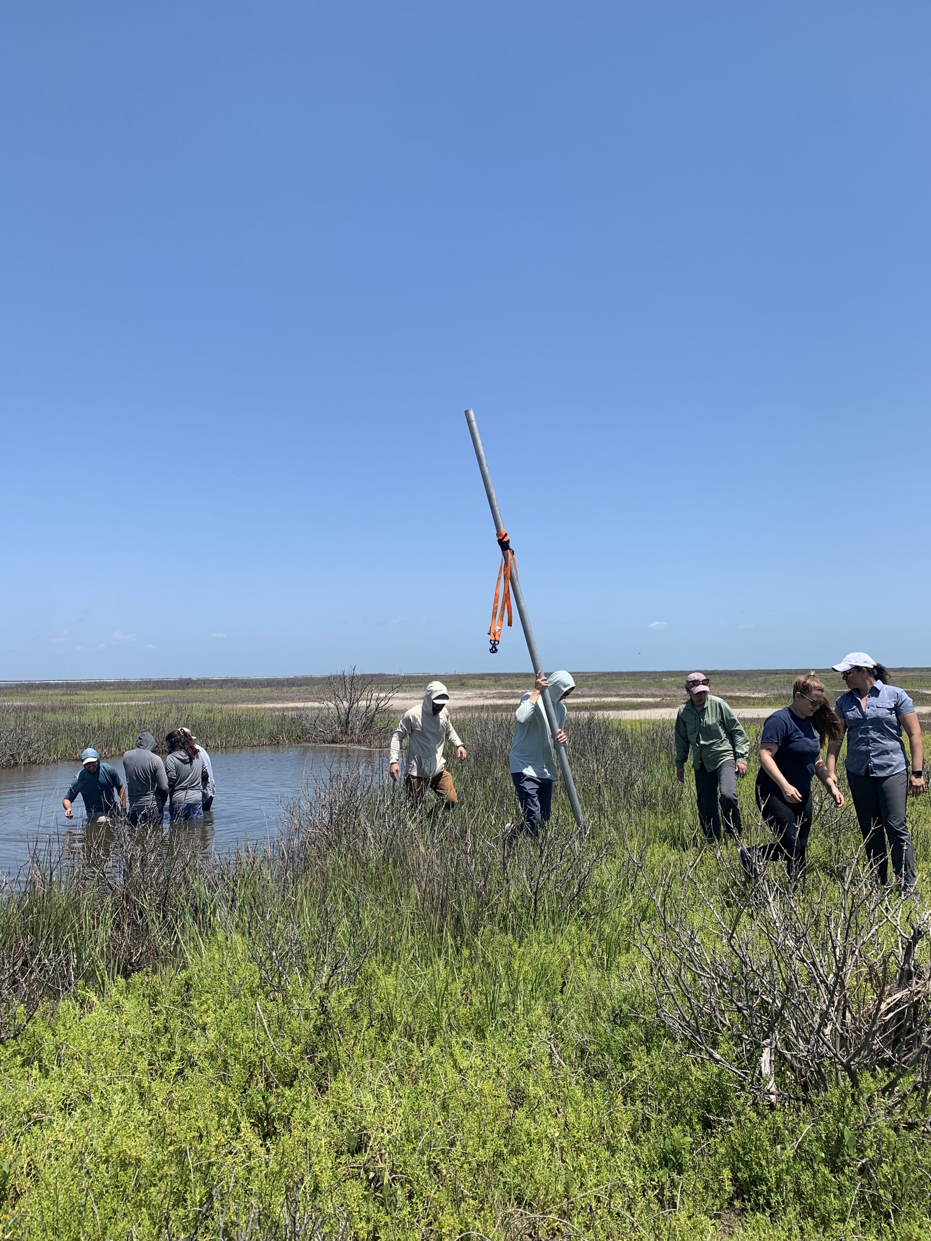
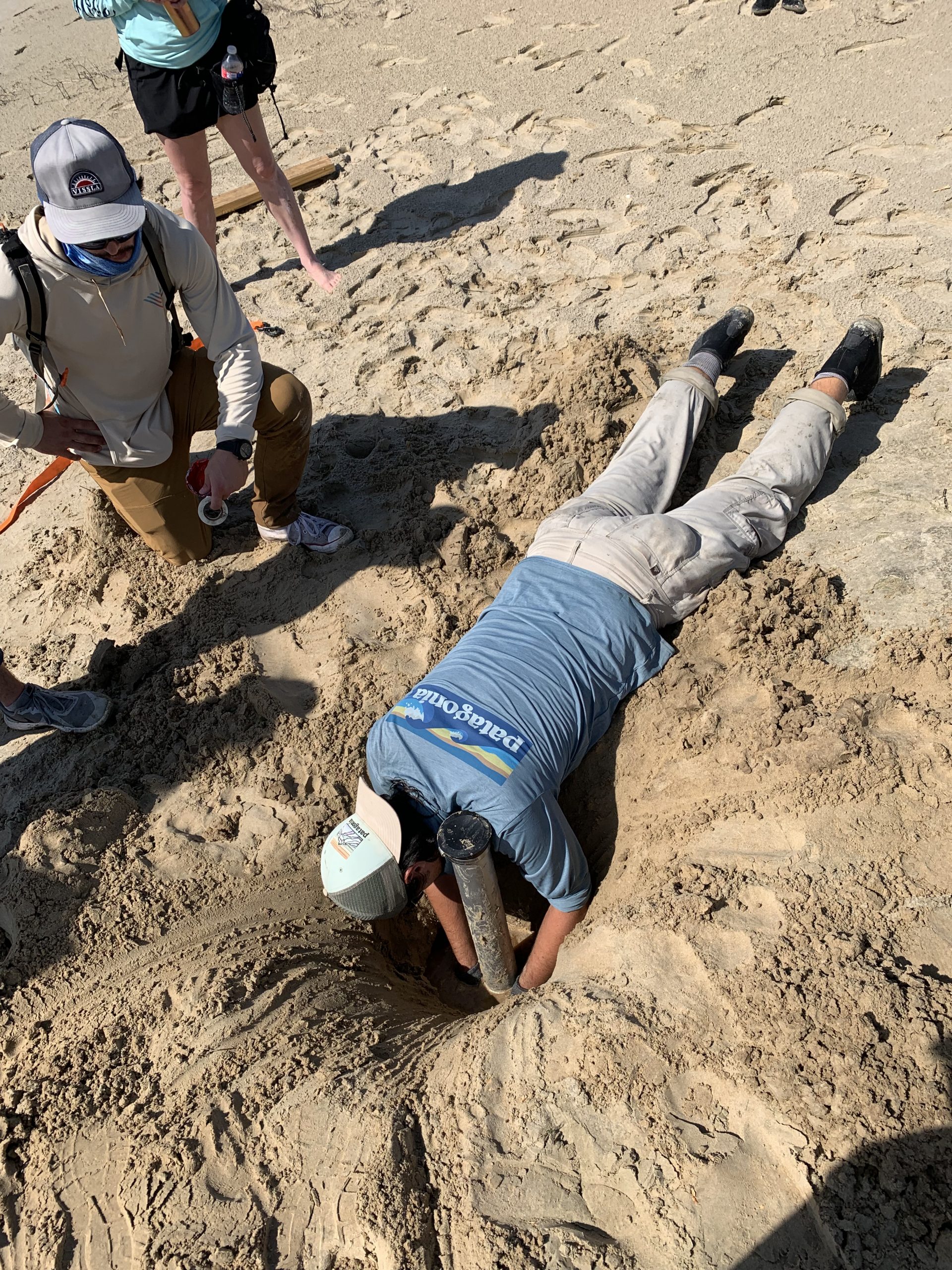
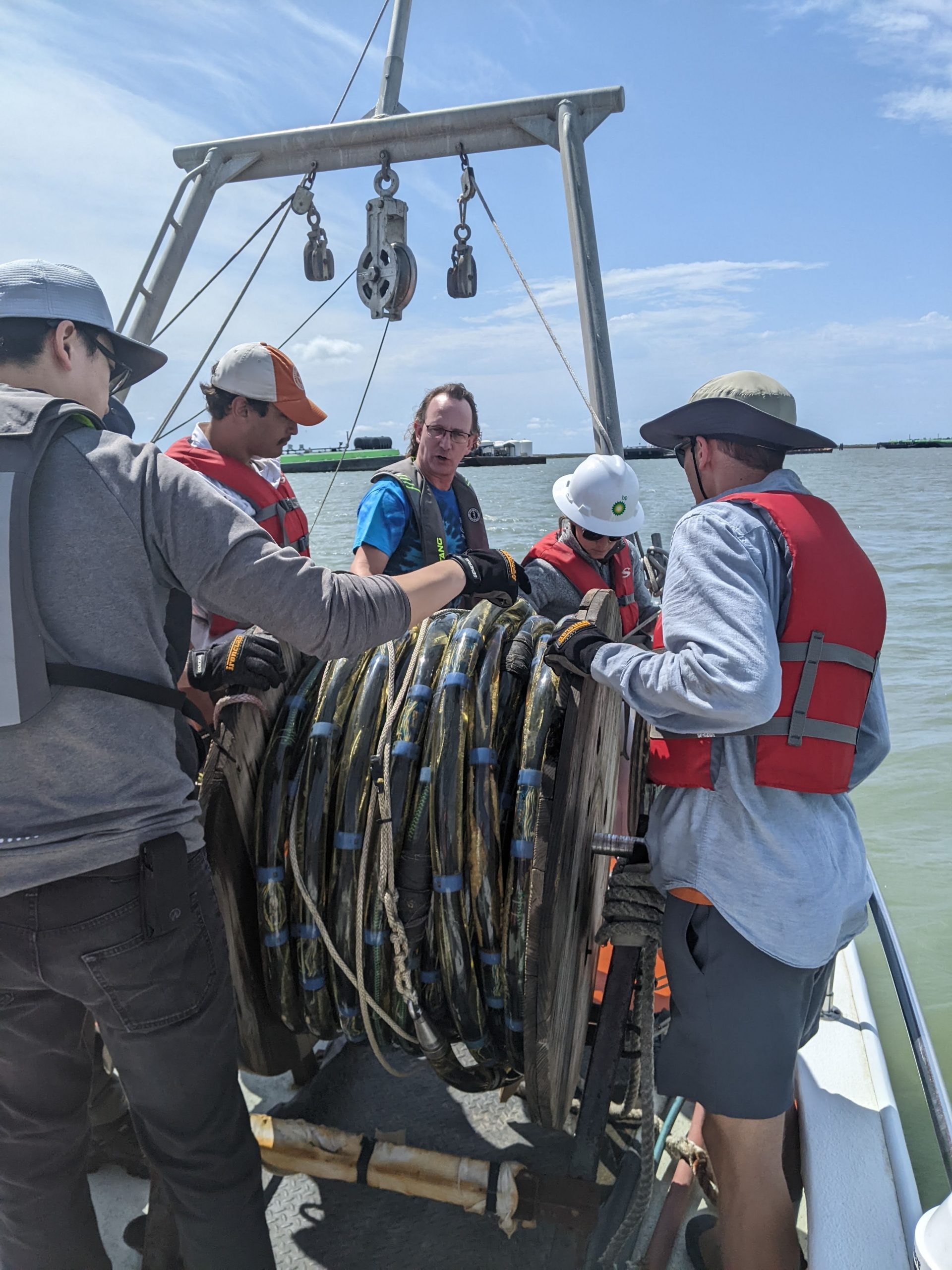
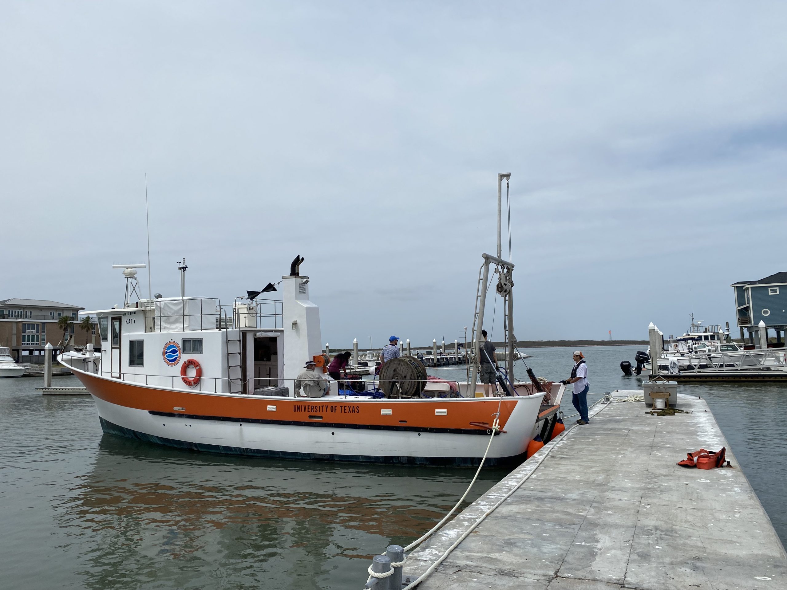
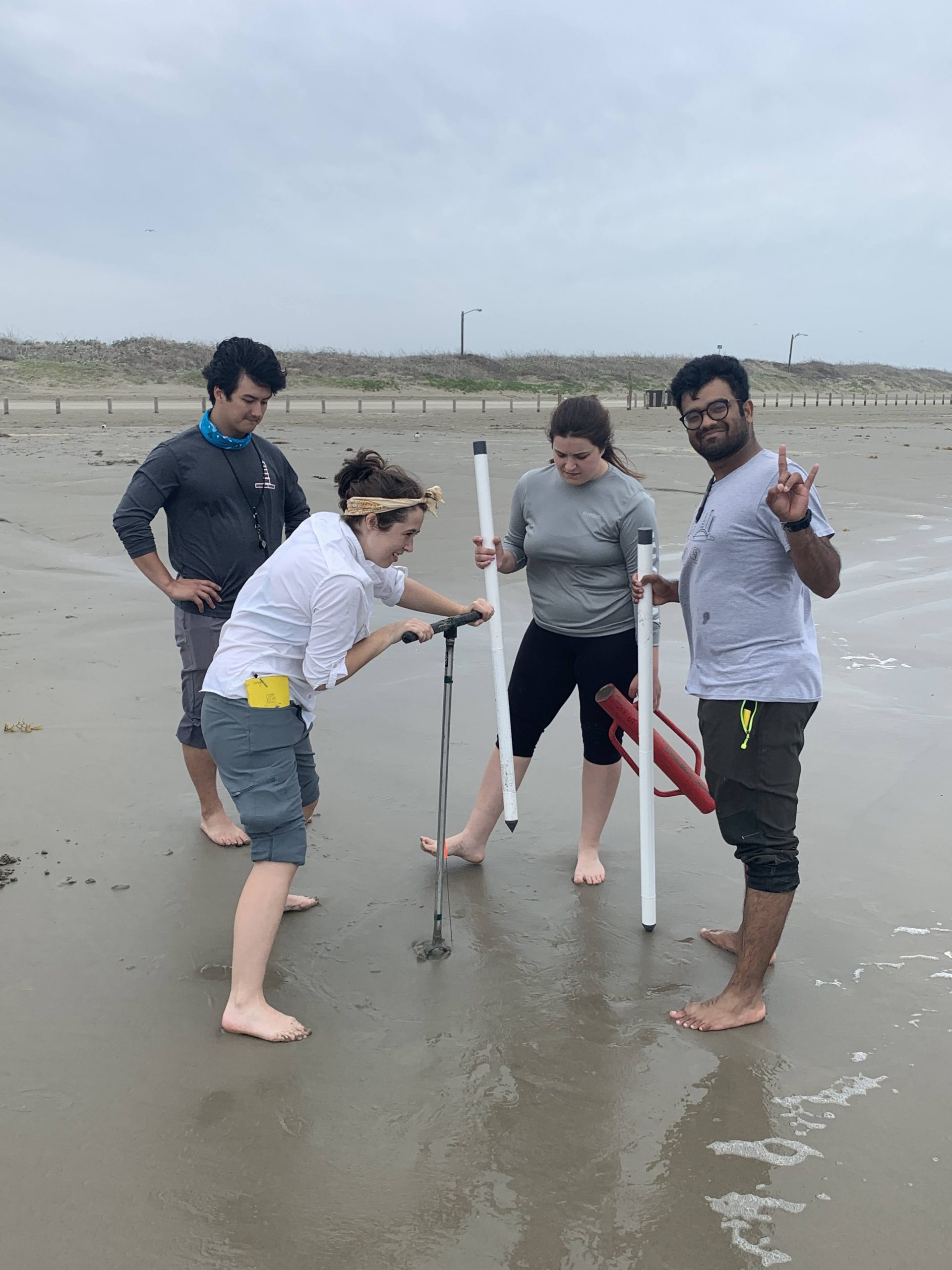
The class traveled to Port Aransas to study coastal geology aboard the R/V Katy, the UT Marine Science Institute’s research vessel. The class also explored Packery Flats near Corpus Christi, looking for damage done to salt marshes by storms and rising seas.
Hydro
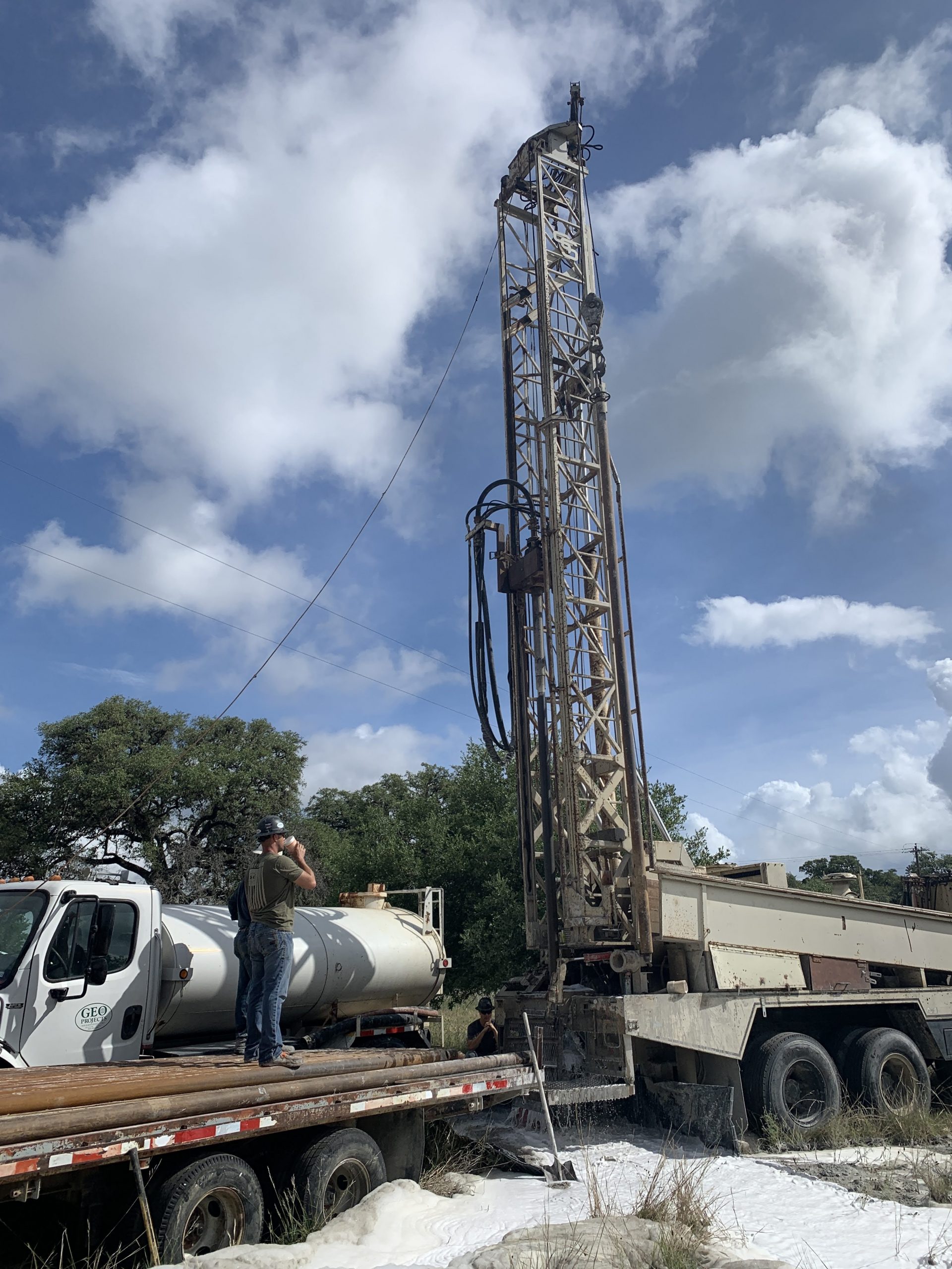
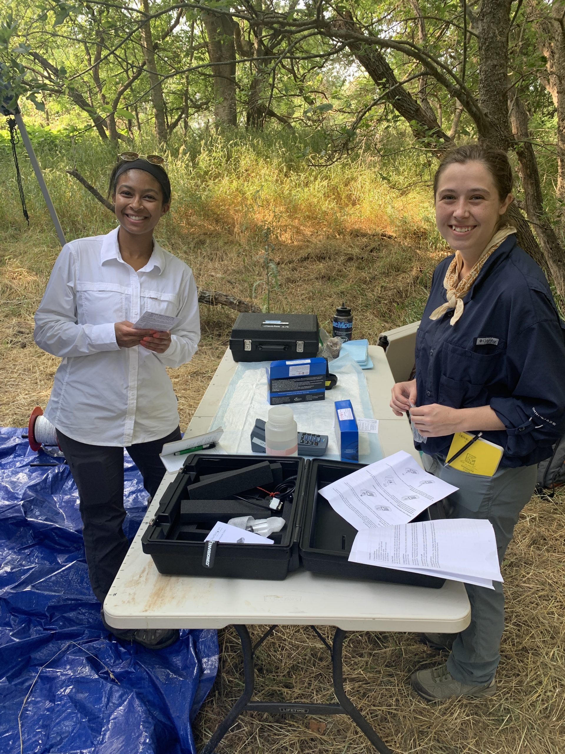
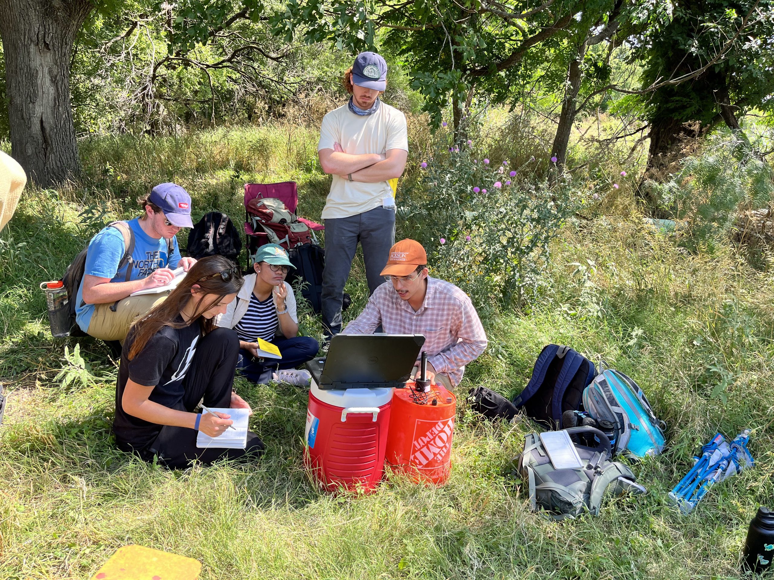
The hydrogeology field camp travelled to three sites around Texas: Hornsby Bend, Port Aransas and the Jackson School’s White Family Outdoor Learning Center in Dripping Springs. At the learning center, students watched well drilling in action guided by alumnus Pat Goodson and his company Geoprojects International. They also heard from alumnus Marcus Gary of the Edwards Aquifer Authority.
The University of Texas at Austin
Web Privacy | Web Accessibility Policy | Adobe Reader