
Transport on the Trinity: Erosion & Bank Failures
By Liesel Papenhausen, Undergraduate Research Assistant
Liesel Papenhausen is an undergraduate research assistant working with Jackson School doctoral student Mariel Nelson. In 2023, Papenhausen joined Nelson and her supervisor Assistant Professor Tim Goudge on field research to study changes in Texas’s Trinity River.
Texas is one large relief gradient. Beginning in the mountains in the west, water travels from these high-velocity headwaters, sloping downward to become meandering channels in the east. The Trinity River is the longest watershed held wholly within the borders of Texas, snaking its way past the city of Houston. Here, we study the small-scale erosion events of the cut bank, where higher velocity waters carve away to sculpt new bends and oxbow lakes.
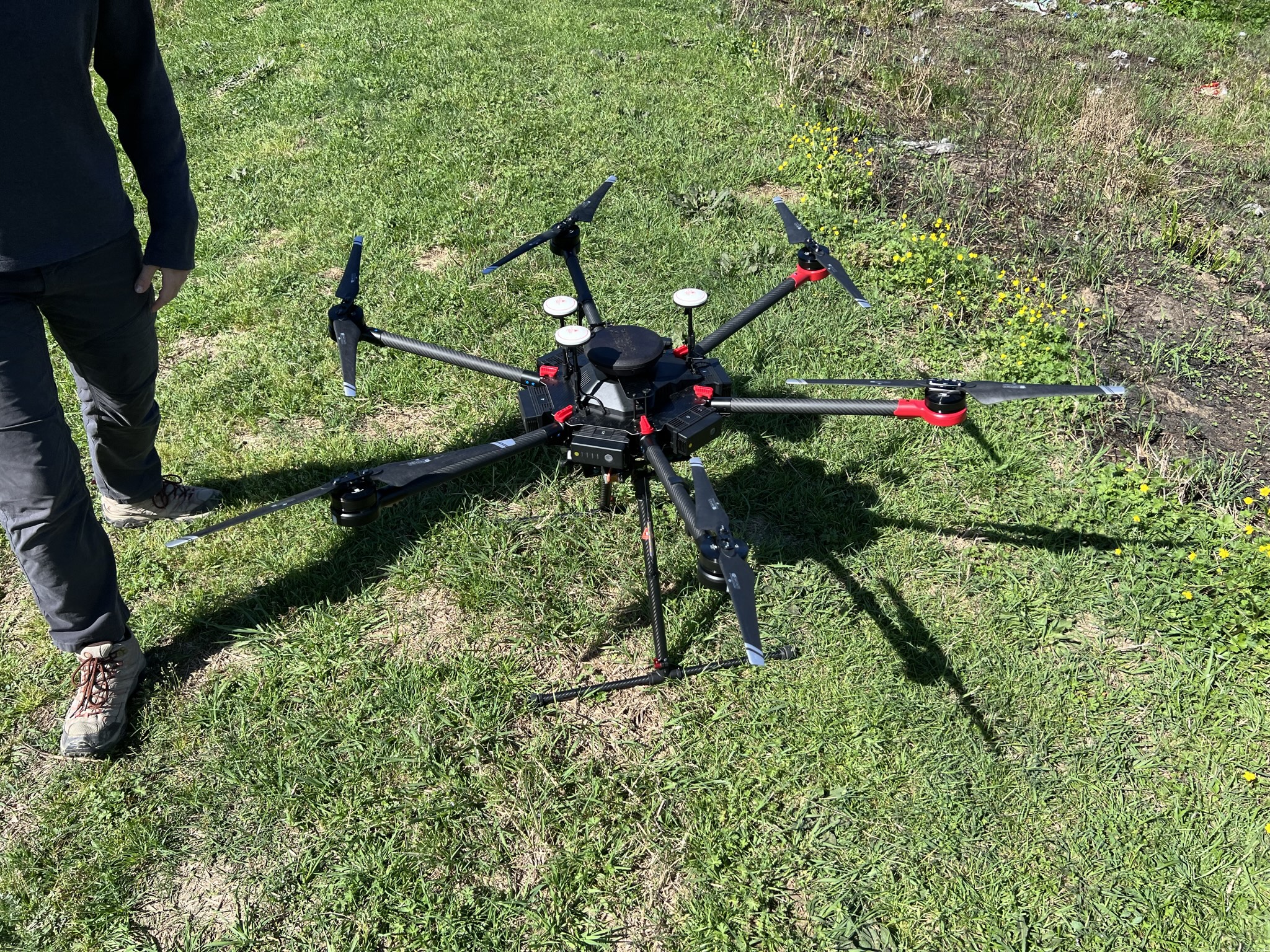
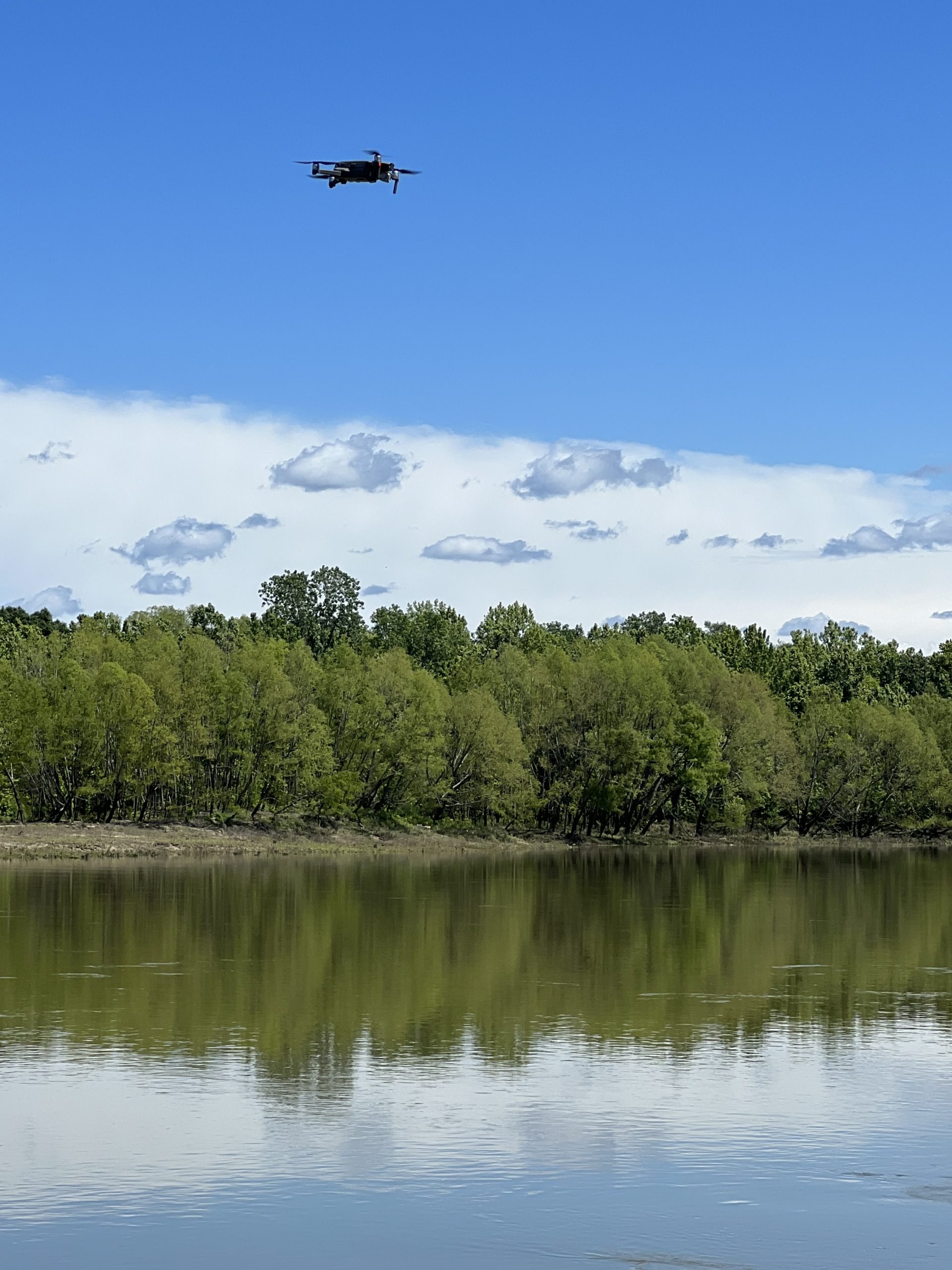
We use a range of data collection methods to inform exactly when a bank will fail, and what encouraged the sediment to crash into the water. Two drones are used, one with an attached LIDAR system and the other with a camera to take photos from a bird’s-eye view. The LIDAR system sends light pulses down to the vegetation, bank, and water, collecting data points that are used to digitally reconstruct the river bank. Comparing these over time, we see how the river is changing over short time scales. Additionally, we have a system of trail cameras taking a photo every hour.
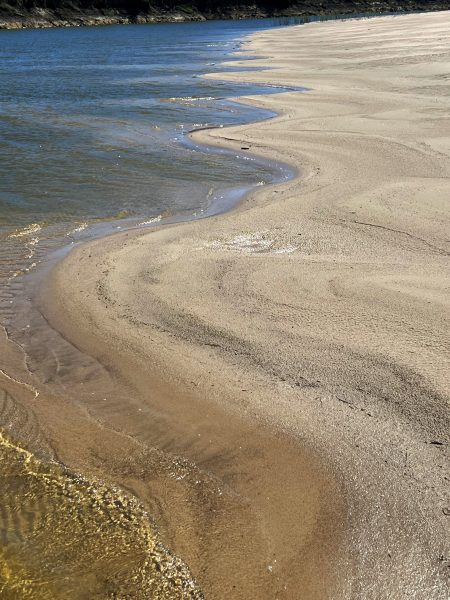
The time-lapse photos reveal a unique view of the eroding cut bank that can be qualitatively analyzed. The most unique event in these time-lapses was a series of three bank failures, all within the same hour. These happened because there had been neither rain nor flood for over a week, leaving the soil dry and brittle until it could no longer support itself. From gradual creeping to mini-landslide events, the river is constantly evolving; this is the nature of meandering rivers. Winding upon itself until it reaches the ocean. The research also aims to understand the speed at which weathering facilitates the transport of sediment. In the event of a chemical spill, studying small-scale erosion events can help predict the speed at which contamination will spread. This will help experts make decisions on when evacuation is necessary, and who is at the greatest risk.
I encourage all undergraduate students to pursue undergraduate research assistant positions. I have learned better organization and presentation skills, been given advice for research conferences and graduate school, and enriched the information I have learned through my classes at UT. From informing my career goals to helping me feel comfortable in research settings, this experience has been truly invaluable. I am so thankful to Mariel, Dr. Goudge and the Planetary Research Group.
The University of Texas at Austin
Web Privacy | Web Accessibility Policy | Adobe Reader