GEOLOGY BY DRONE
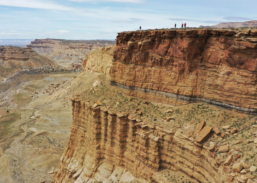
How students and scientists are using high-flying technology to document the Earth and other planets
By Julia Sames
One hundred and twenty million years ago, when much of Texas was a shallow ocean, some unexpected places hundreds of miles from our current coastline made up its beach. As eras passed, the Earth crashed into itself, the water receded, and Texas became land. But the limestone deposits that had been shaped by the water’s movement remain as a living record of this oceanic period in the form of ancient fossilized beaches.
While surfing Google Earth one day, Jackson School of Geosciences Professor Charlie Kerans happened upon a pristine example of this kind of fossil beach, just an hour northwest of Austin along Cow Creek. As he zoomed into the satellite photos he could see the telltale signs: prograding, shallow, wavy steps of limestone descending like a sandy beach as it travels under the ocean.
The sandstone layers had been stripped away over the years, making this exceedingly well-preserved beach plain as day.
“They were never modified by mountain building events or deformed. So the present day structural setting of the rocks is pretty much the way they were deposited 120 million years ago,” Kerans said. “It takes almost no imagination to see how they were formed.”
Kerans set out on his kayak toward the property and met its owner, who turned out to be a University of Texas alumnus. He was happy to give Kerans access to the outcrop to teach his GEO 383N Depositional Systems: Carbonates and Evaporates course.
On a mild Wednesday morning in January, Kerans and a dozen of his graduate students explored the outcrop, documenting its features at the micro and macro scale — by hand lens and by drone.
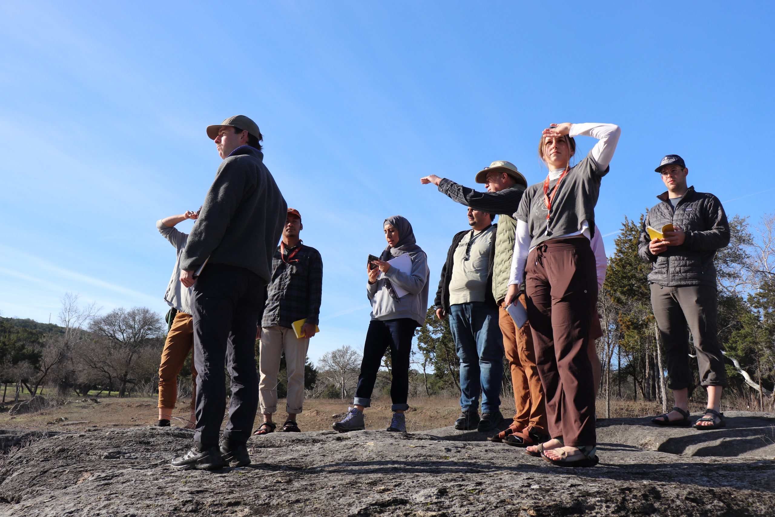
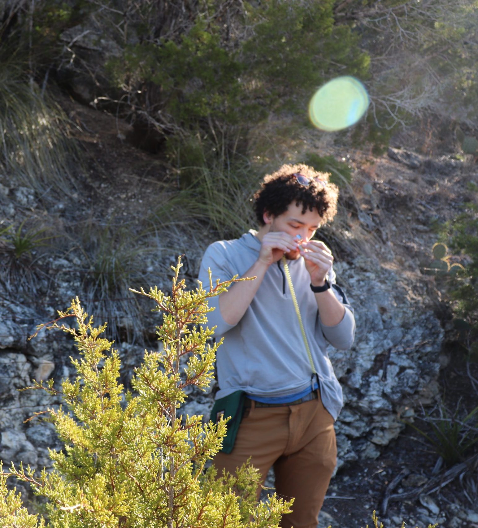
Along with GPS and the field notebook, in recent years drones have become standard issue for Jackson School students heading out into the field. These tools have been made all the more accessible through the Department of Earth and Planetary Sciences’ new drone lab, where students can easily utilize drones and virtual reality headsets to enhance their coursework and research. By sheer virtue of its availability, and the enthusiasm of instructors such as Kerans, students are increasingly incorporating drone imagery and data in their studies.
Kerans has brought these students and their tools to “tell the story” of this perfect stretch of fossil beach. Because it’s private property, this special outcrop is inaccessible to most people. There’s also no guarantee of its continued preservation. Condos could be here in 10 years, Kerans noted.
“Do not assume this is always going to be here,” he told the students. “The more we can document it, the better.”
Student Nick Regier was on the team tasked with imaging the scene by drone. He directed the device back and forth over the banks of Cow Creek, stopping methodically to take photos and talk about the process as he went. Regier said he enjoyed flying the drone because it creates amazing vantage points of outcrops such as this. Plus, it’s fun.
The drone team took 1,200 photos that day to capture the outcrop. The next day, Kerans showed the students how to merge them all together to create a three-dimensional model of the space in the drone lab.
In 2022, Danny Stockli, chair of the Department of Earth and Planetary Sciences, allocated $150,000 to build out this lab space. His goal was to make drone technology as accessible as possible for students of all levels, with the hope that they could carry these in-demand skills into their careers after graduation.
The lab itself is not much to look at. It’s a narrow room with desktop computers, chairs, and a tall window. But it’s a treasure trove for a techy geoscientist. Here students are outfitted with high-end computers that can process drone software and build interactive models from their footage, virtual reality (VR) headsets to dive into the 3D space, and drones of various size and quality that students can borrow for their research projects.
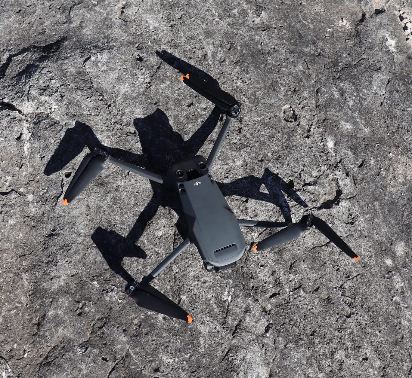
Along with Kerans, Assistant Professor Tim Goudge is arguably the biggest remote imaging enthusiast among the Jackson School’s faculty. He has introduced drones to students ranging from GeoFORCE high school seniors — he leads a trip to Lake Jackson every year where they research coastal erosion — to doctoral students working on their dissertations. He believes the draws are innumerable. Drones allow geoscientists to expand the scope of their work, to take field data home with them, and to use artificial intelligence to parse extra data that has been collected but gone unused.
Pedagogically, it is often most effective for students to hear the same thing several times in order for it to be cemented in their learning, Goudge noted. With VR, professors can show students what they will see when they go out into the field and prepare them beforehand. This generally makes their time spent in the field more efficient and meaningful. Plus, drones open up a new realm of accessibility for students with physical limitations that might preclude them from getting to hard-to-reach outcrops.
Not to mention, this is the kind of cutting-edge technology that graduates will be expected to have proficiency in as they enter the workforce.
“(Drone experience) has become the norm in the same way that we expect our students to know how to identify how big a sand grain is versus gravel grain,” Goudge said. “We will expect them to maybe not know how to fly and acquire these data, but at least how to think about them and analyze this type of 3D geospatial data.”
Liesel Papenhausen, a junior environmental science: geology major, is putting remote sensing at the center of her senior thesis project. Over the next two years, Papenhausen will repeatedly travel to Sargent Beach and Bryan Beach, both on the Texas coast southeast of Houston, to measure the two extremes of coastal migration and shoreline change. Sargent Beach is one of the fastest-eroding beaches in Texas, while Bryan Beach is amassing sand at a rate faster than almost any beach in Texas. To collect this data, she plans on using LiDAR drones, which emit light pulses to collect more precise and detailed elevation data than a standard drone would.
By assessing these data through 3D models, it’s much easier to piece together the story and the spatial understanding of a place, Papenhausen said.
“It’s a perspective you can’t get otherwise,” she said.
Morgan Carrington, a current doctoral student, and Michelle Tebolt, who graduated in the spring with her Ph.D., have both worked with Goudge to capture drone footage in Utah as an analog for Mars.
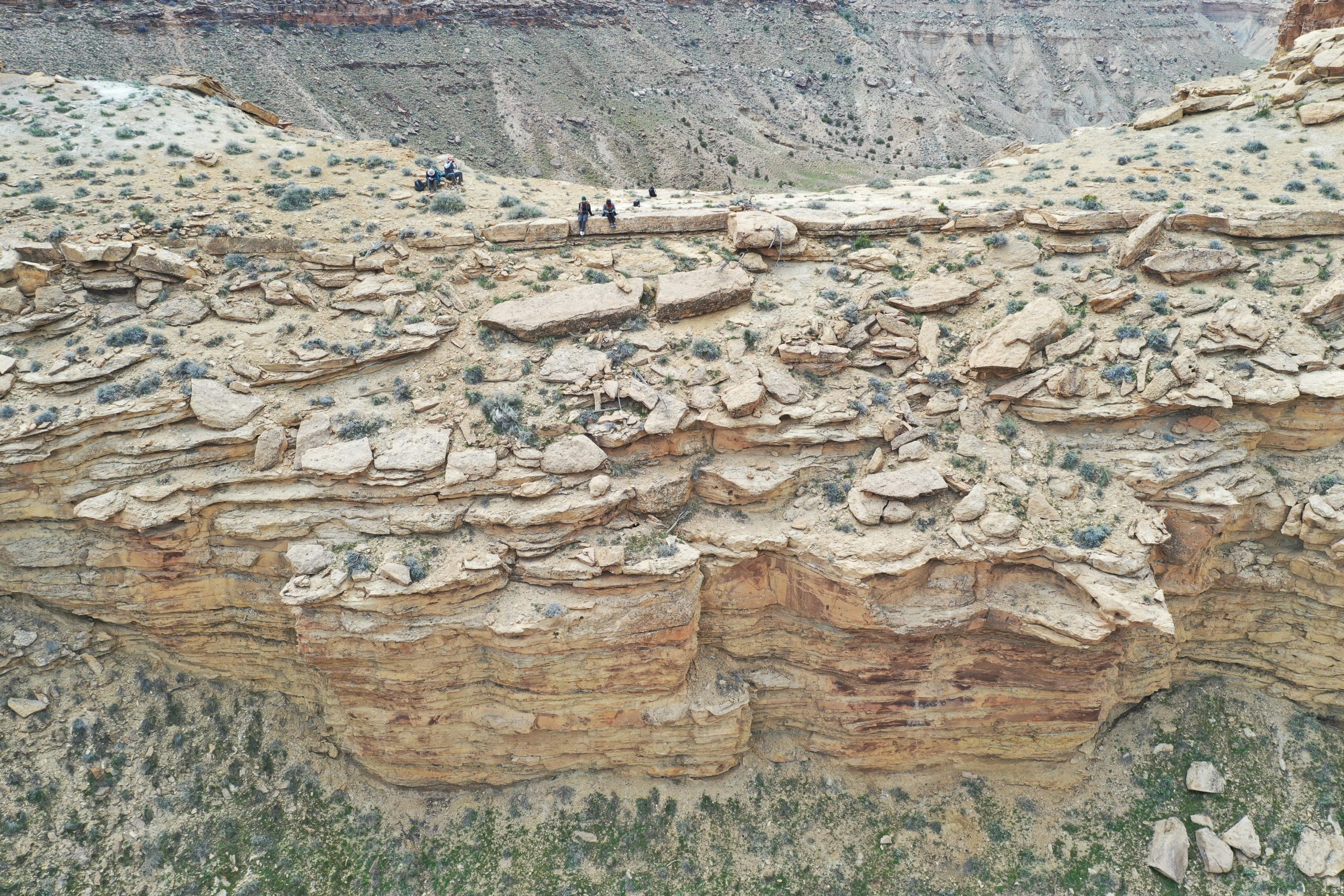
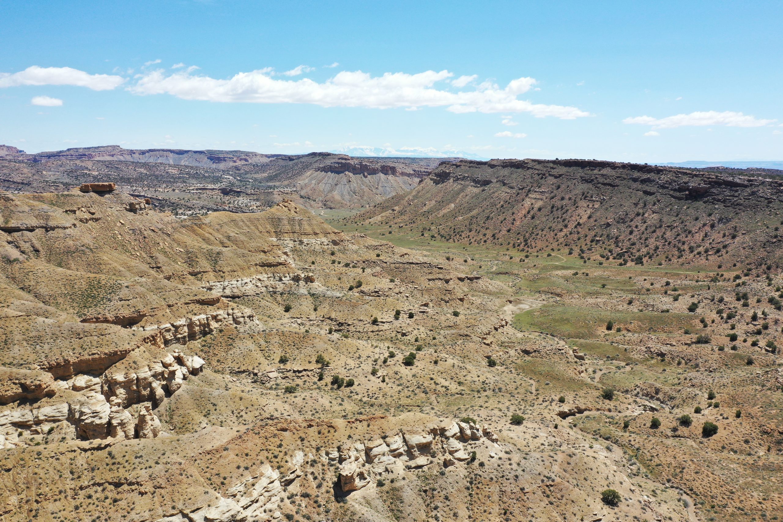
Carrington is researching how the interplay of surface water and groundwater form canyons on Earth, and what that could tell us about how the canyons on Mars were formed. Canyon alcoves in particular are of great interest to Carrington, because groundwater influences that shape in three dimensions. If this formation translates to Mars, then maybe there was groundwater involved in the formation of the canyons there, too.
Being able to see these Utah alcoves in 3D, both in person and through drone models, is indispensable to Carrington’s research.
“I had just been looking at (these alcoves) from the top down, aerially, for a year and a half. Those alcoves, just how deep they are, the magnitude of them, was completely lost on me without having gone out there,” she said.
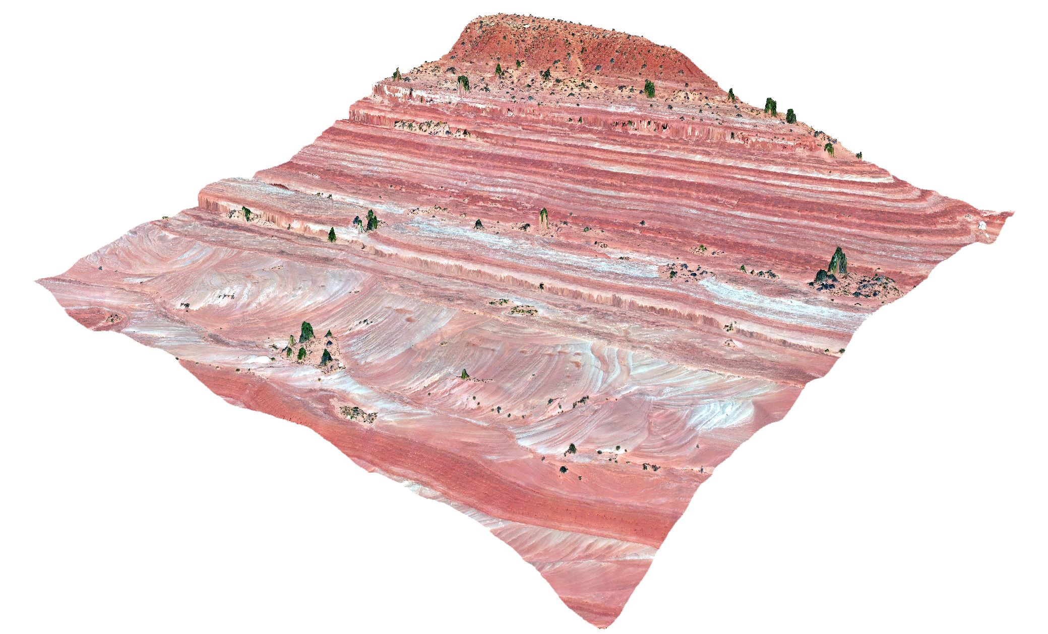
Tebolt placed drone technology squarely at the center of her research: she studied the gap in sedimentary data on Mars that comes about by relying solely on satellite imagery to study its surface. The findings were eye opening.
She started her work by looking at ancient sedimentary coastal features in Utah that are similar to the features she looked into on Mars, and taking drone images at varying altitudes and resolutions.
Tebolt processed these images and turned them into both 3D outcrop models and plain top-down elevation models, the kind of data satellites provide. She then dialed back the resolution on these top-down models to 25 centimeters per pixel, the clarity available via satellite, and discovered that the sedimentary cross-bedding was no longer visible. Cross-bedding can be an indication that water was moving through an environment during its development.
“So if this feature was on the surface of Mars right now, there’s no way we would be able to know unless we got better images than we currently have of the surface,” Tebolt said.
This cross-bedding was, however, as visible in the drone photos as it is up close in the field. Tebolt concluded that drone footage would provide a useful scale between satellite imagery and NASA’s Mars rover imagery, which can capture the surface of Mars in very fine detail.
Drone use, while incredibly useful in the advancement of the geosciences, is just as useful as an introduction to the field for new students.
“It’s one of those rare things that both gets students excited and is important,” Goudge said. “Often things that we think are important to teach our students are not always the things that students find the most exciting.”
The geosciences are a field where students are compelled to think in three-dimensional space, perhaps more than any other science, Goudge noted. But it is not solely a study that can occur at the macro-scale. The observation of grains less than a millimeter in diameter are an equally essential data point, and these details cannot be adequately captured by drone, at least as the technology currently stands.
To examine these small-scale details, students must go out into the field. This, Goudge said, is what makes drones and VR visualization a complement technology, rather than a replacement technology.
Back at Cow Creek, while Nick Regier flew a drone over the fossil beach, he noted the importance of being there in person to learn the full story of the outcrop.
“It gives you the context you need to understand what is actually happening in the geology, in the rocks,” he said. “If you don’t actually put your nose on the rock, you don’t really know what’s happening. There’s so many things in this fine scale of the hand lens — or even just the eye — that you just can’t make out, say, with outcrop images.”
Kerans, who often uses VR goggles to explore the Earth from the comfort of his office, notes that there’s still a ways to go before virtual reality can eclipse real-world exploration. There are still quirks in the technology that can make it difficult (or nauseating) to use. The goal for now is just to show students how cool the geosciences are.
“There’s a lot of cool science in geosciences, and it’s quite impressive technologically and scientifically. (Drones and VR) are a good way to get people jazzed about it,” he said.
The University of Texas at Austin
Web Privacy | Web Accessibility Policy | Adobe Reader

