Field Camps Return
GEO 660
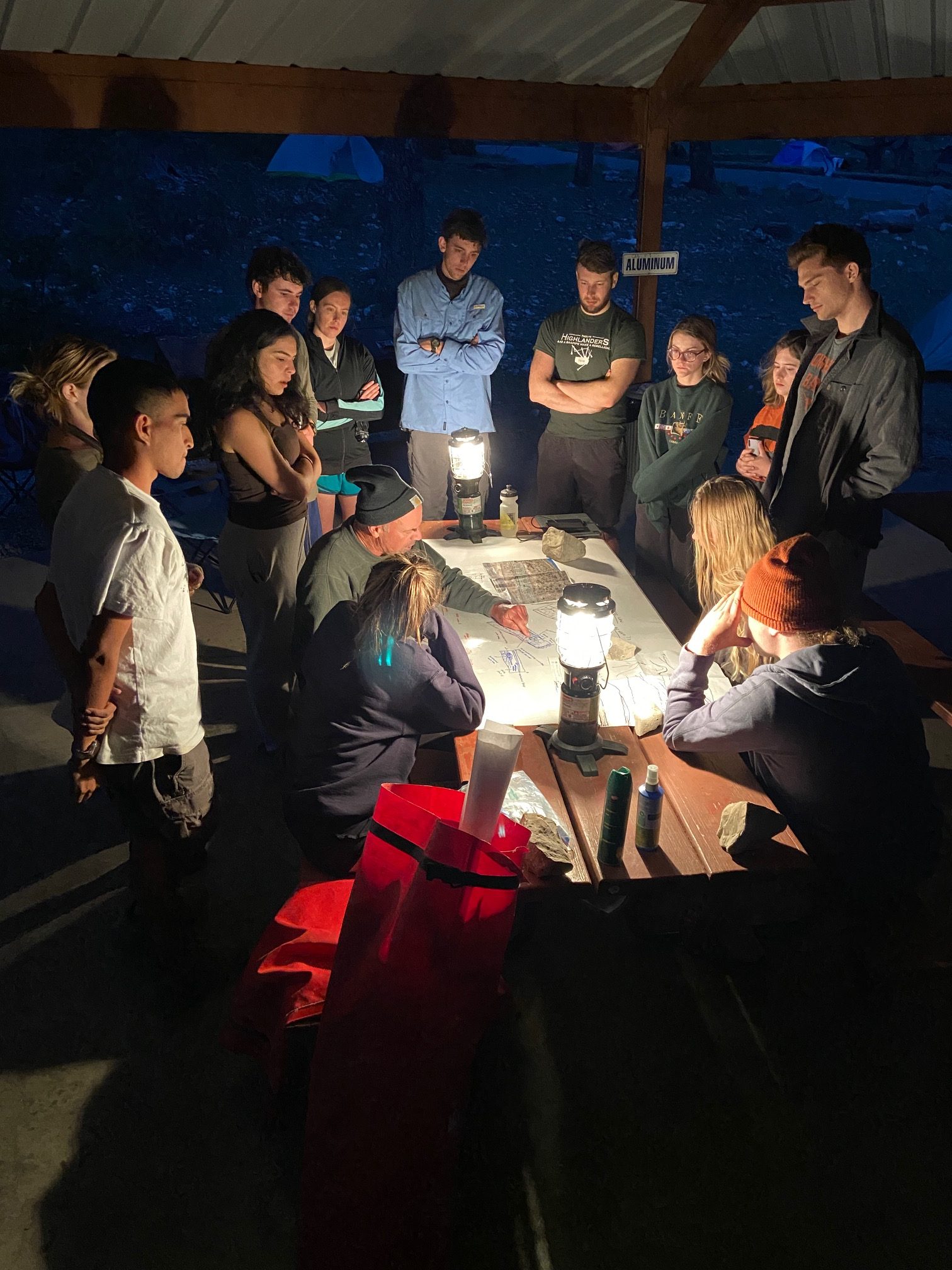
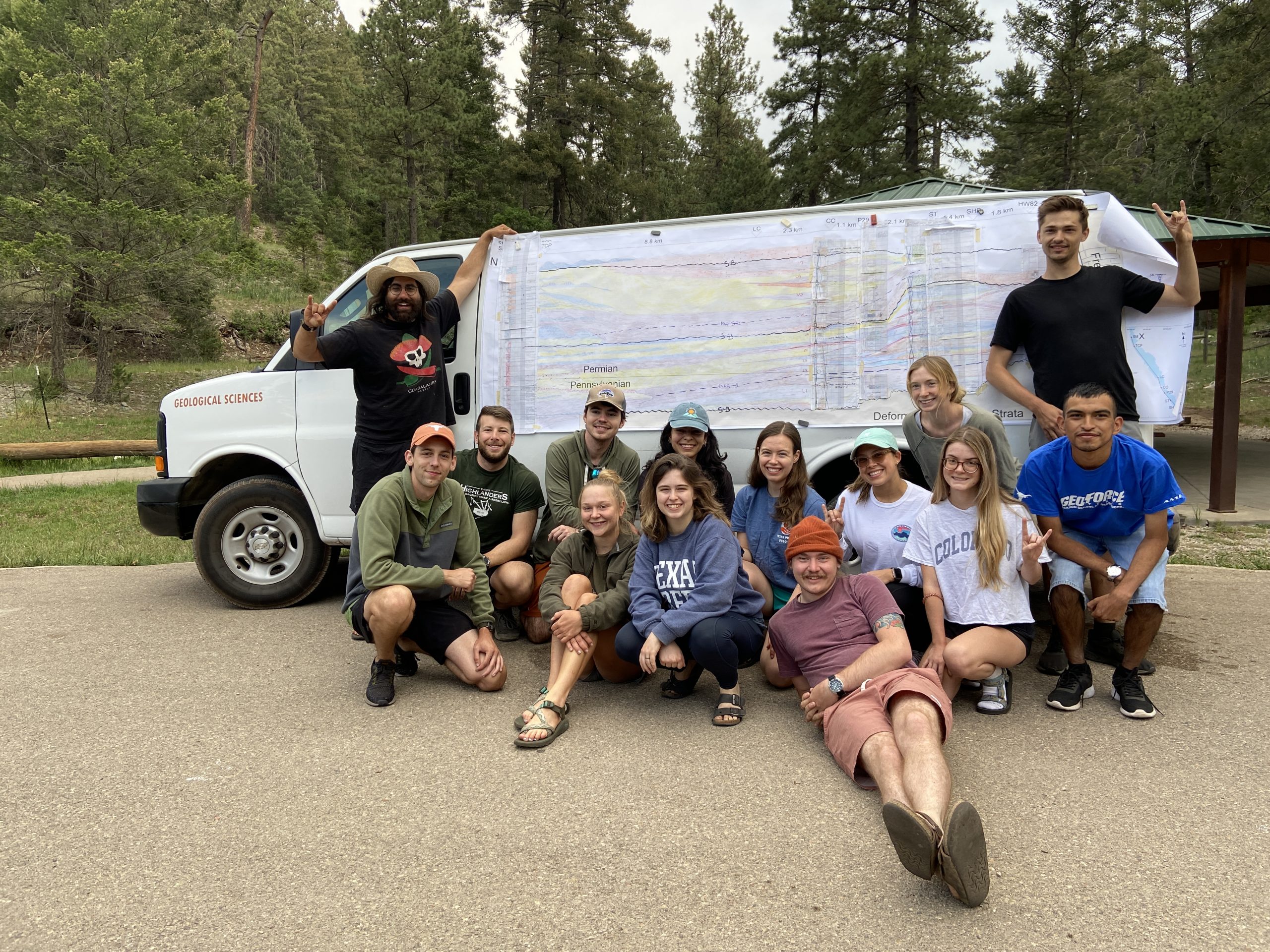
Due to the pandemic, field camp was shortened to three weeks from its usual six. But students were still able to put their field skills to the test, taking part in 10 projects in New Mexico and Wyoming. These projects focused on field description and interpretation, along with teamwork, leadership and outdoor living. The camp was divided into two sessions, with students placed in two cohorts, A and B.
LEFT: Professor Charles Kerans (seated, left) explains basic concepts of stratigraphy and sedimentology to GEO660B students prior to their first project in the Sacramento Mountains, New Mexico. Clockwise from Kerans: Barbara Fagundez, Skylar Schulz, Leigh Mercer, Luke Murray, Landen White, Abby Creighton, Britney Davis, Evan Shetina, Shelby Oliphant, Paul Redman And Barbara Sulbaran. RIGHT: Research Scientist Peter Hennings with assistant instructor Abdulah Eljalafi and teaching assistant Megan Flansburg with GEO660A students at an overlook of the Great Unconformity in Freemont Canyon near Alcova, Wyoming. BOTTOM: GEO660B students, with assistant instructor Abdulah Eljalafi (standing at left), show off their completed team correlation panel of measured sections of syntectonic late Pennsylvanian-early Permian Bursam formation from the Sacramento Mountains of New Mexico. Credit: Jackson School of Geosciences The Class of 2021 on the beach in Port Aransas. (L-R) Marcy Davis, Dan Duncan, Chris Liu, Sean Gulick, Marlowe Bueler, Davis Hagemeier, John Goff, Kazuma Sakamoto, Solveig Schilling, Chris Lowery, Carson Miller, London Darce, and Jake Burstein. Credit: UTIG
MG&G
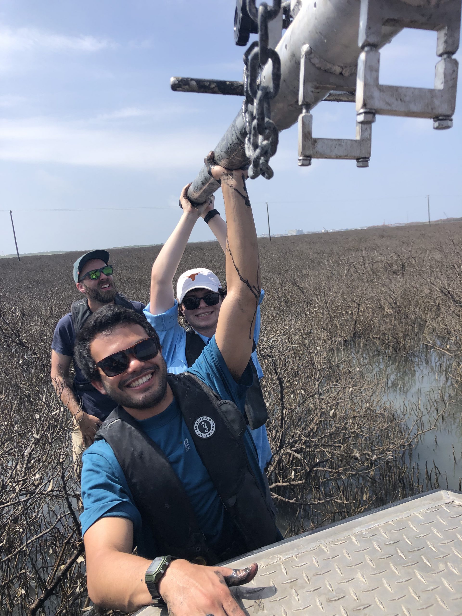
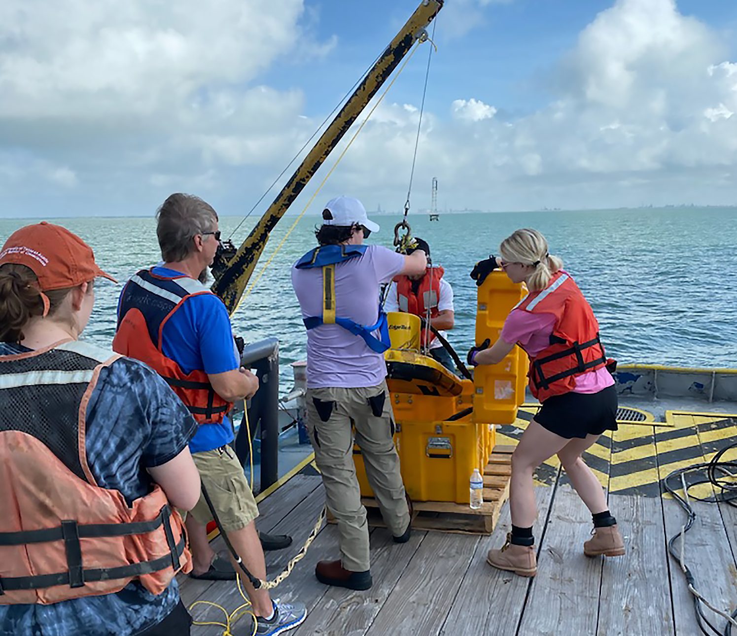
After a hiatus because of the coronavirus pandemic, the field class was back in Port Aransas in 2021 with several new additions to the program, including a drone for surveying the shore and a vibracorer to sample salt marshes.
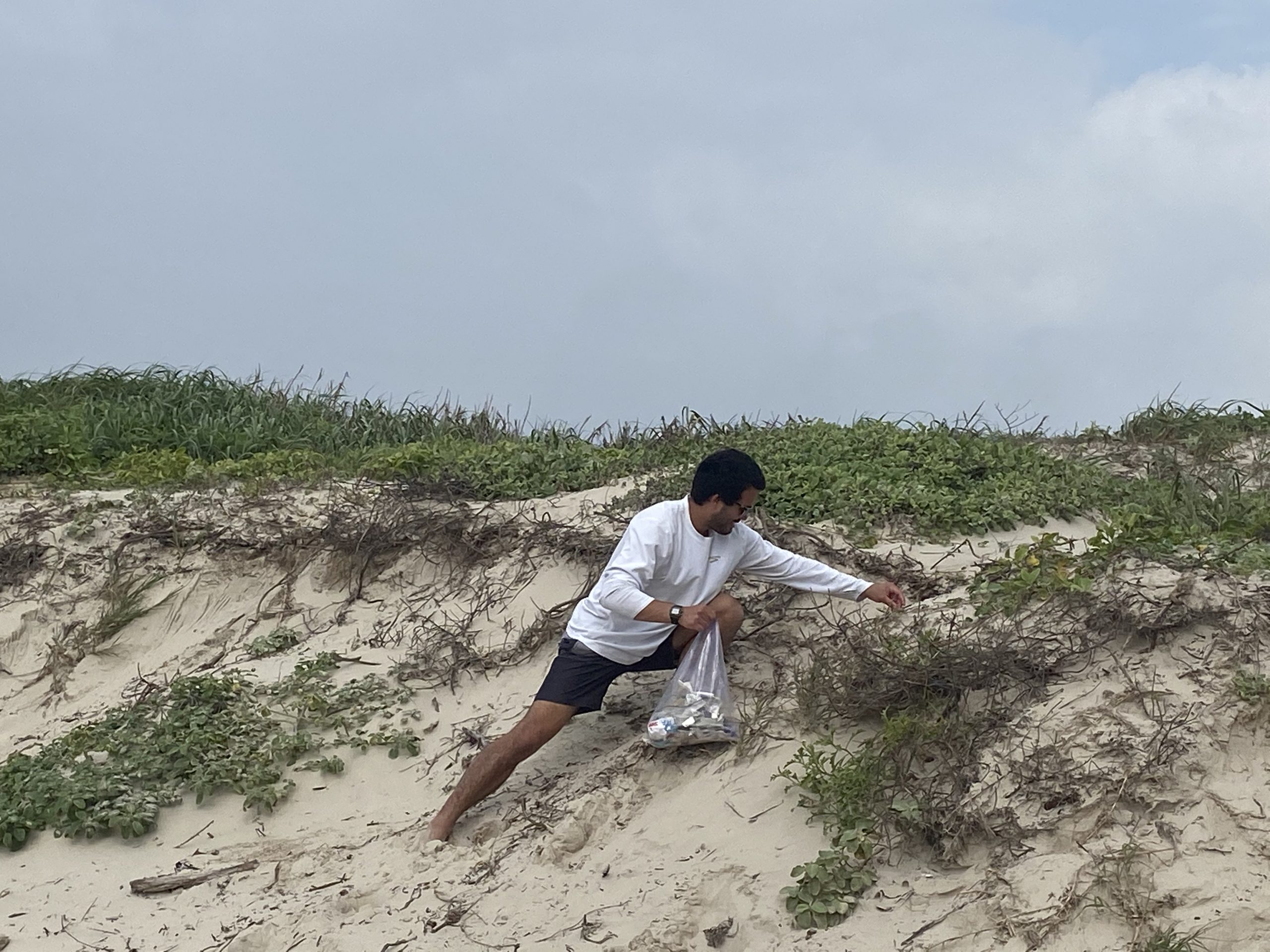
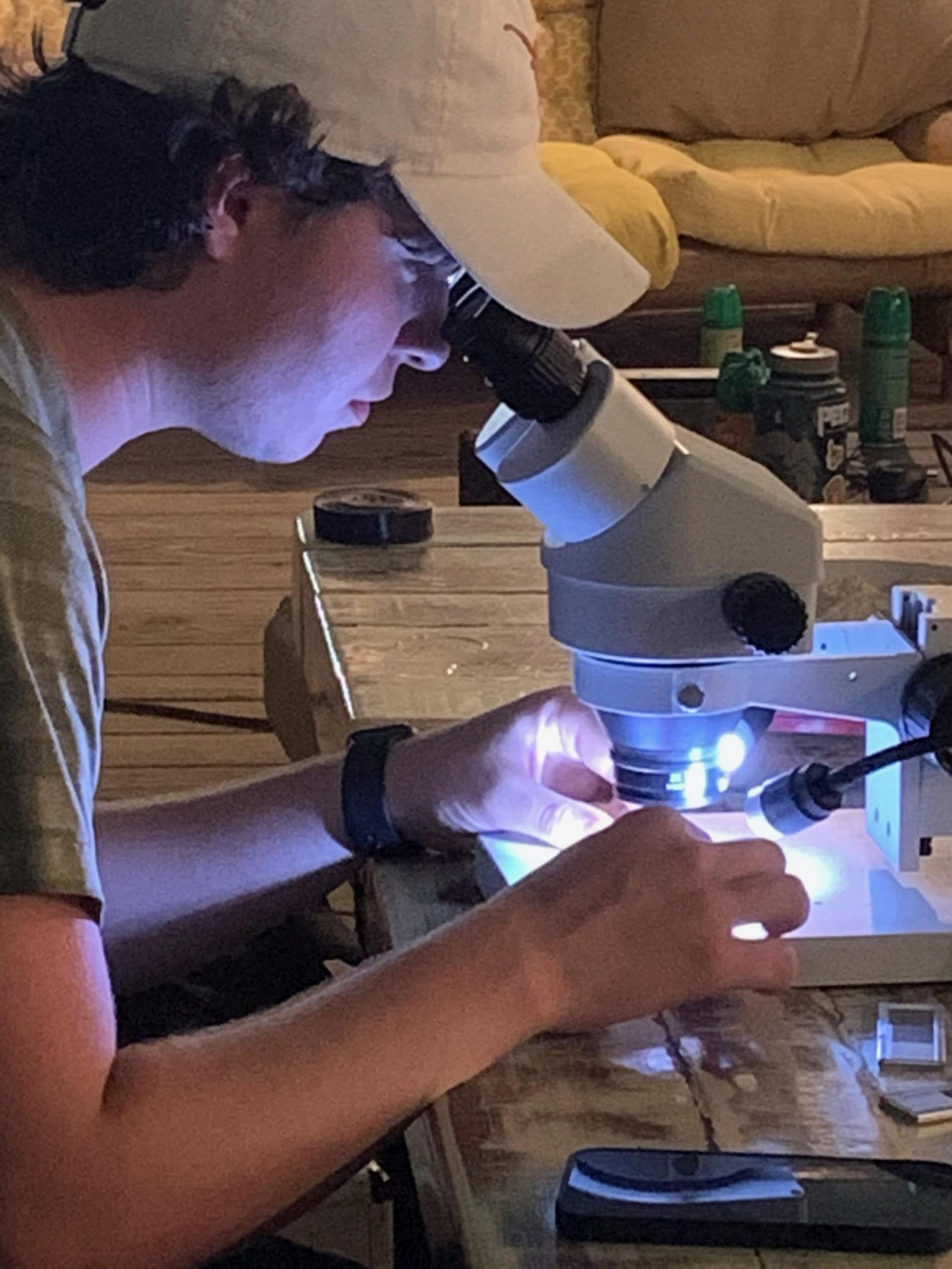
LEFT: Jake Burstein, Davis Hagemeier and instructor Chris Lowery during salt marsh coring on Harbor Island, near Port Aransas. RIGHT: The team recover the CHIRP during operations from the M/V Miss Vivian. Credit: UTIG LEFT: Jake Burstein picks up trash during a clean-up following a beach research excursion, another new addition to the program. RIGHT: Jackson School undergraduate Davis Hagemeier looks at foraminifera in a salt marsh sample. Credit: UTIG Students recover core for aquifer characterization during active drilling at the white family outdoor learning center while Assistant Professor Daniella Rempe (right) and Hayes County hydrogeologist Philip Webster (left) supervise. Students from left to right: Shane Heath, Lucas Marques, Regina Padilla, and Caitlin Tran. Credit: Jackson School
hydro
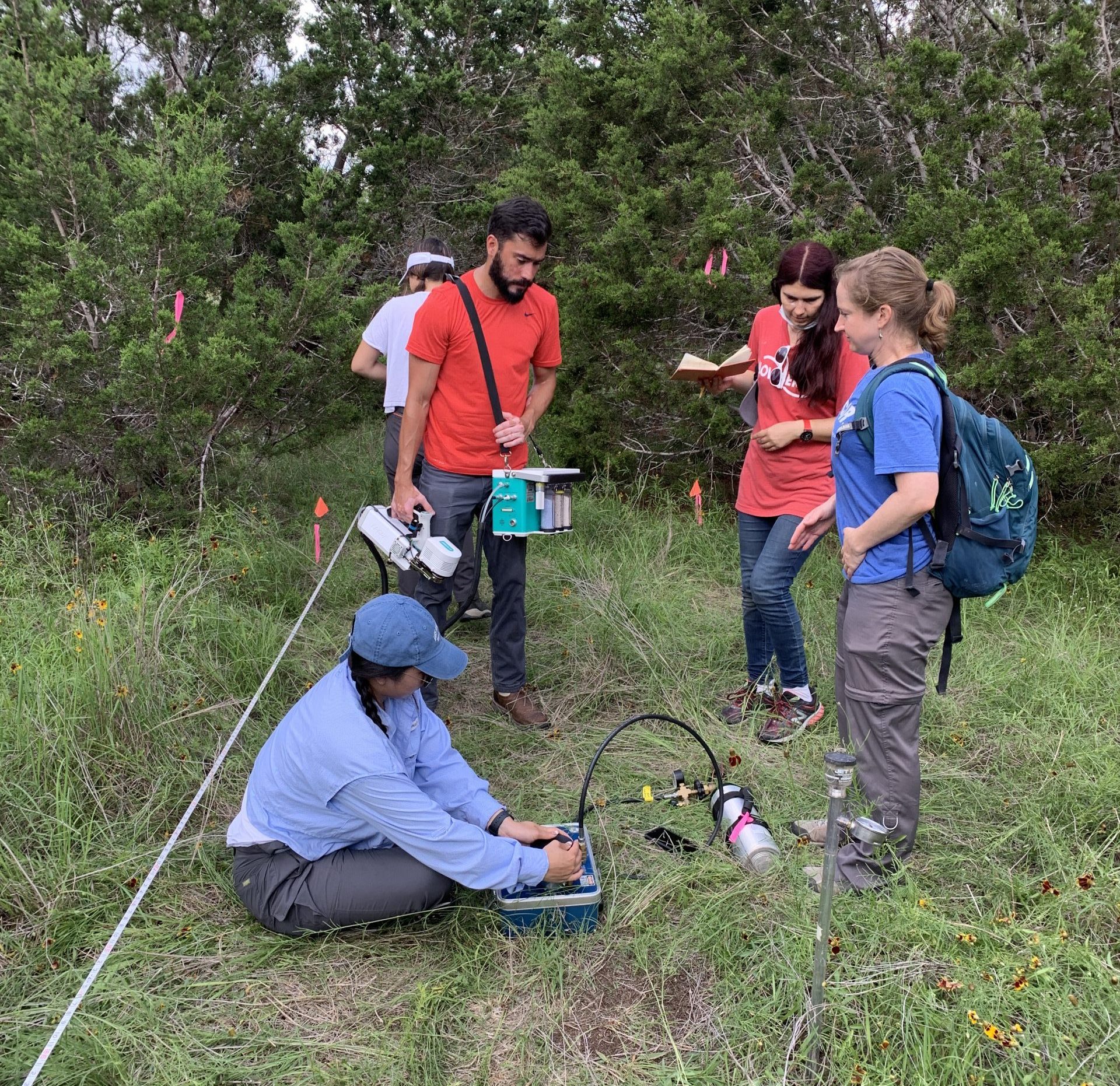
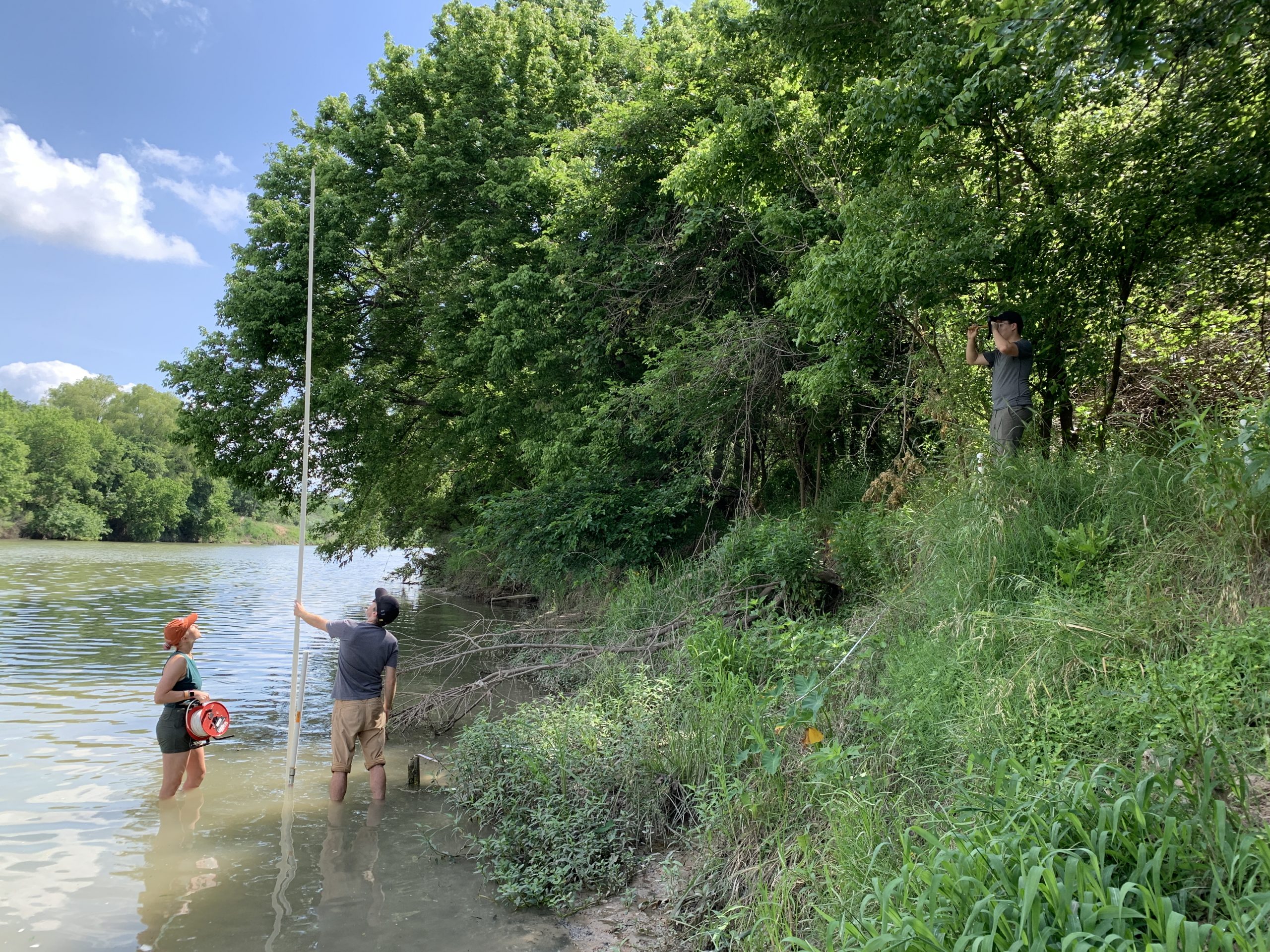
Students stayed local, traveling to Hornsby Bend and the White Family Outdoor Learning Center to learn drilling, down-hole geophysics, stream gauging, ecohydrology measurements and groundwater chemistry. Students learned from scientists from the Edwards Aquifer Authority, the Bureau of Economic Geology, Austin Water Center for Environmental Research and local groundwater conservation districts.
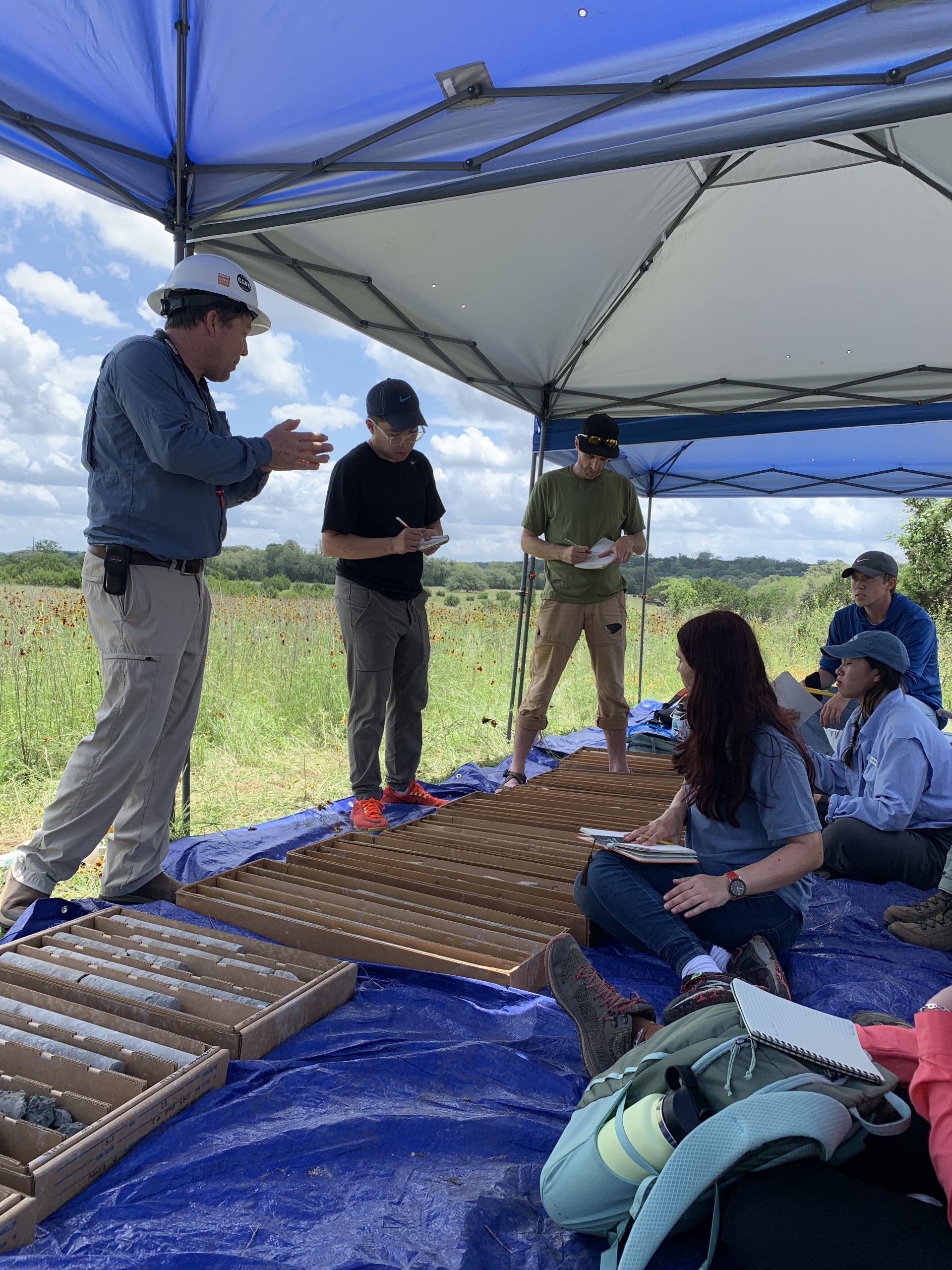
LEFT: Research Scientist Brian Hunt helps students interpret core recovered from the Upper Trinity Aquifer via drilling at the White Family Outdoor Learning Center. Students from left to right: Harry Khuc, Tyson Mckinney, Camelia Baluta, Caitlin Tran, and Shane Heath. Drilling sponsored by alumnus Pat Goodson of Geoprojects International. RIGHT: Assistant Professor Ashley Matheny (right) instructs students on how to measure leaf water potential at the White Family Outdoor Learning Center. Students clockwise from bottom: Brooke Fry, Lucas Marques, And Camelia Baluta. BOTTOM: Students Daphne Smith, Tyson Mckinney, and Harry Khuc use a stadia rod and hand-level to perform a topographic survey of the bank of the Lower Colorado River at Hornsby Bend. Credit: Jackson School of Geosciences
