
Investigating Fault Activity in Nepal
By Madison Preece, doctoral student
Last spring, I traveled to central Nepal to investigate interactions between tectonics and surface processes. Joining me was Department of Earth and Planetary Sciences Chair Danny Stockli, University of Kentucky Associate Professor Ryan Thigpen, and graduate student Izzy Muller. We collaborated with Ananta Gajurel and Bhairab Sitaula from the School for International Training in Nepal.
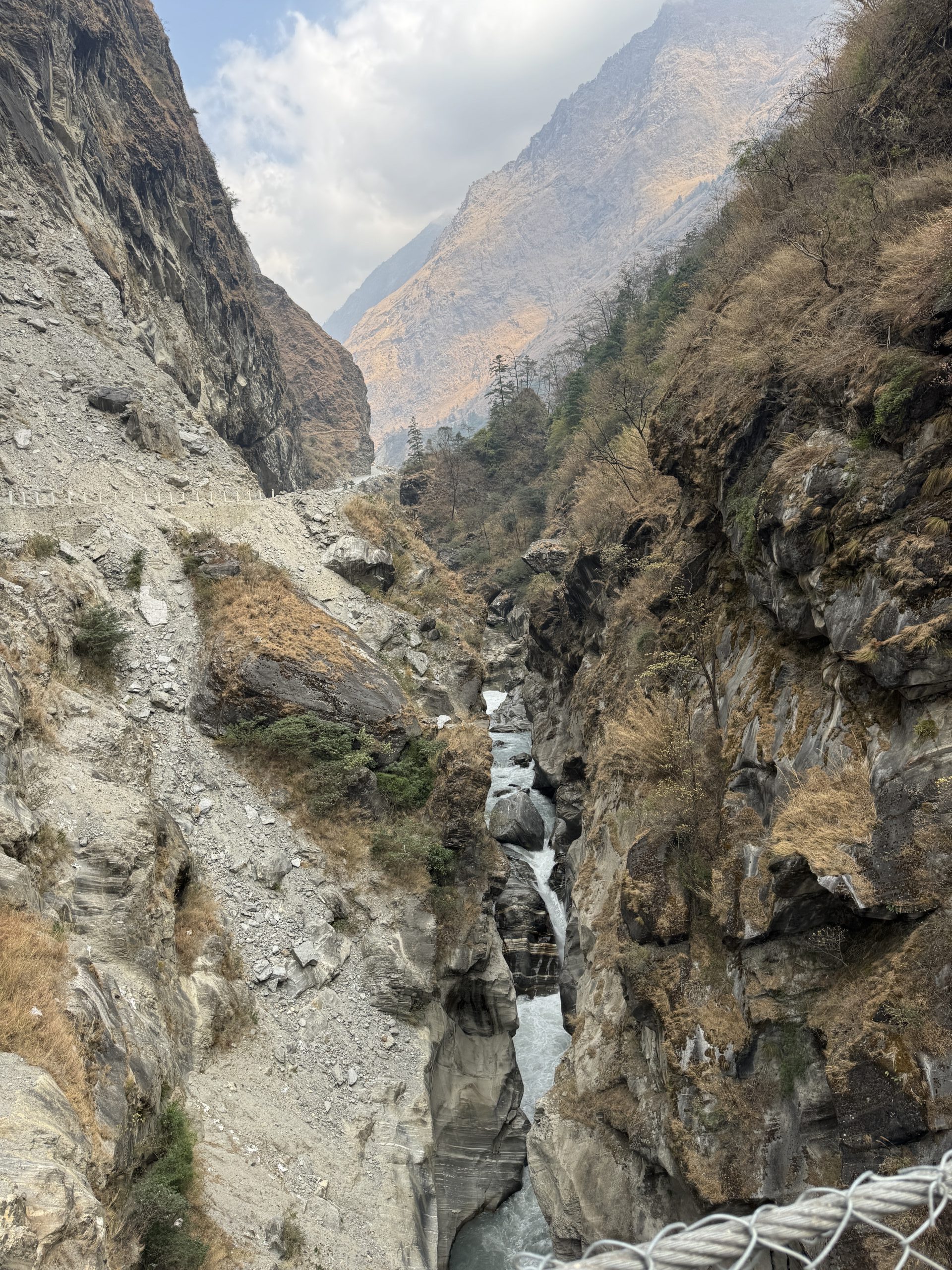
The data from this field work will inform whether there has been recent fault motion near the base of the high Himalaya, which would indicate that fault activity has shifted from the southern front of the orogen towards the range interior, likely in response to focused erosion brought on by seasonal monsoons. This would not only provide evidence for controversial ideas about tectonic and surface process interactions, but also indicate much higher geohazard risks for people living near the recently active fault. Interactions between rapid tectonic and surface processes were evident by the terraces standing hundreds of feet tall, the landslide scars covering the hillslopes, and, of course, the 8,000-meter-high peaks towering in the sky.
While these are scientifically fascinating, what struck me most when studying these processes is the devastating impact that they have on Nepali communities and the resilience that the Nepali people show by adapting their lives to deal with the aftermath. The steep river valleys are filled with hundreds of small villages, many of which we stayed in throughout our field season, all of which were at risk for major geohazards. We saw several villages built upon landslide deposits and actively creeping hillslopes, while others were at the base of overly steepened hillslopes that appeared to be one heavy rain away from a massive landslide event.
One of the most impactful examples of geohazard consequences was walking up the extreme relief of the Langtang Valley, where a landslide buried a village of 300 people during the 2015 Gorkha Earthquake. We will analyze bedrock and terrace samples collected this season for petrochonologic and thermochronologic data, which, when combined with structural and geomorphic maps, will inform the timing and location of fault activity within central Nepal. We hope that this information will be utilized to develop hazard mitigation strategies for at-risk Nepali communities; however, the socioeconomic status of Nepal will likely make it challenging to implement preventative measures.
The University of Texas at Austin
Web Privacy | Web Accessibility Policy | Adobe Reader