
GEO660
Field Geology Field Camp
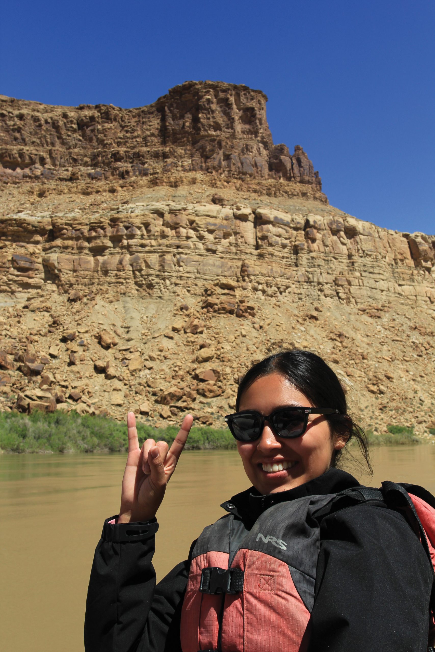
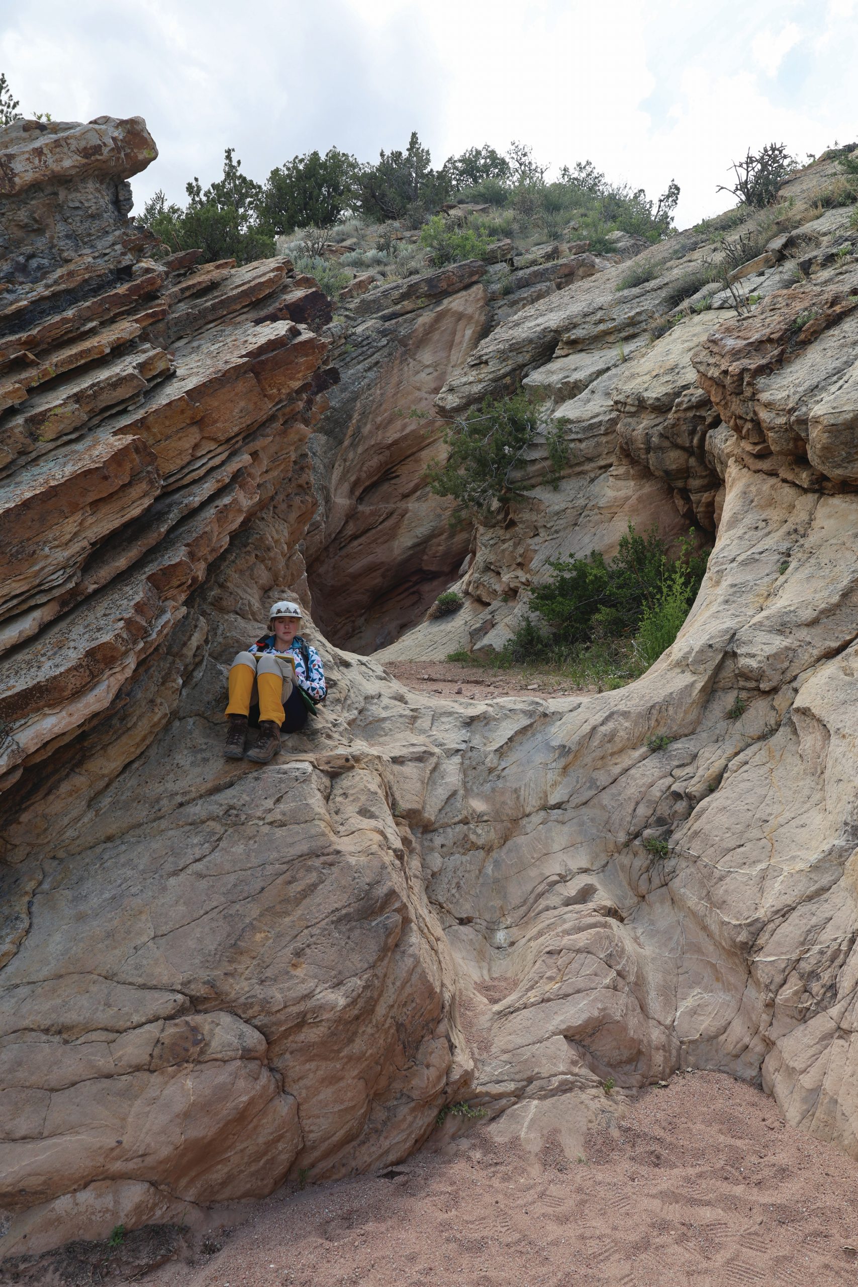
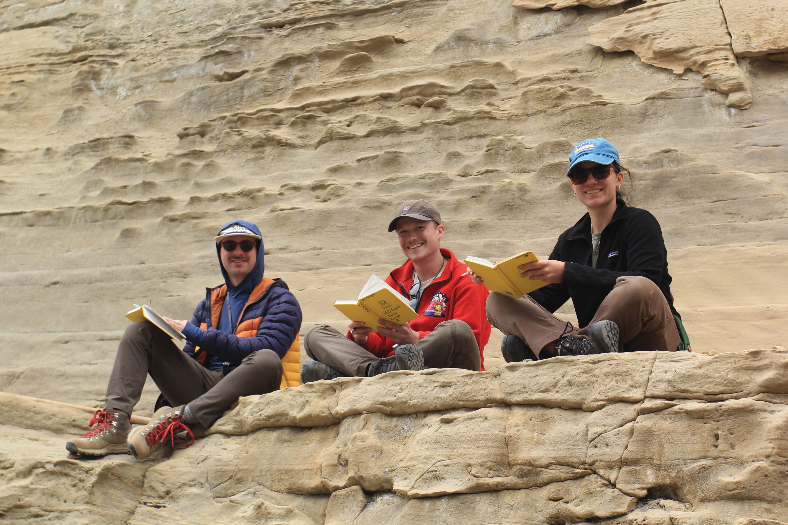
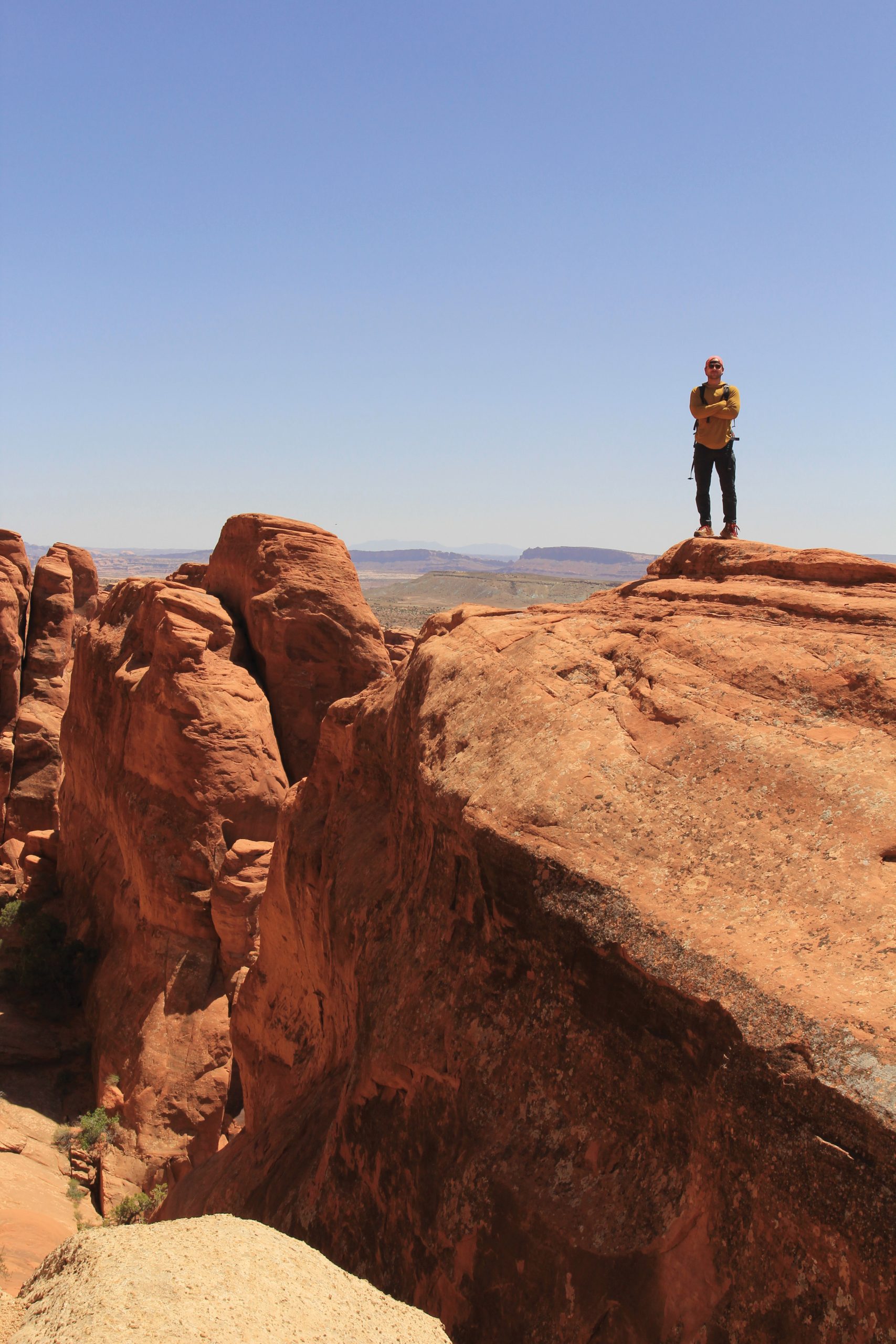
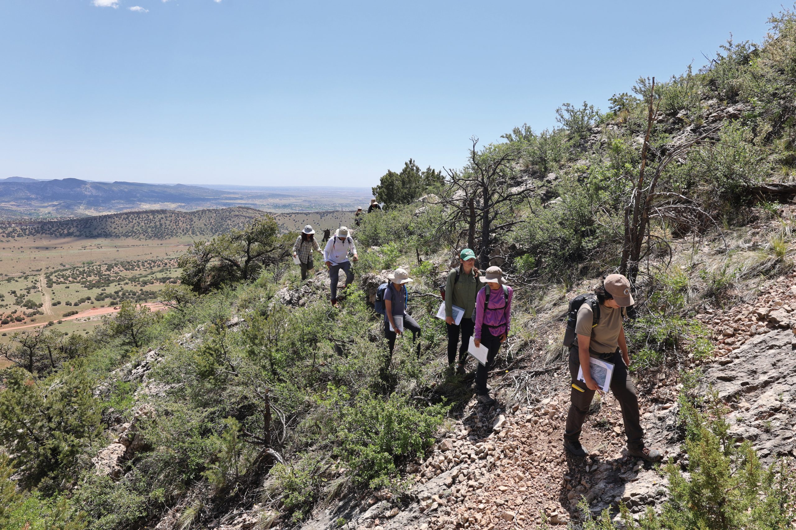
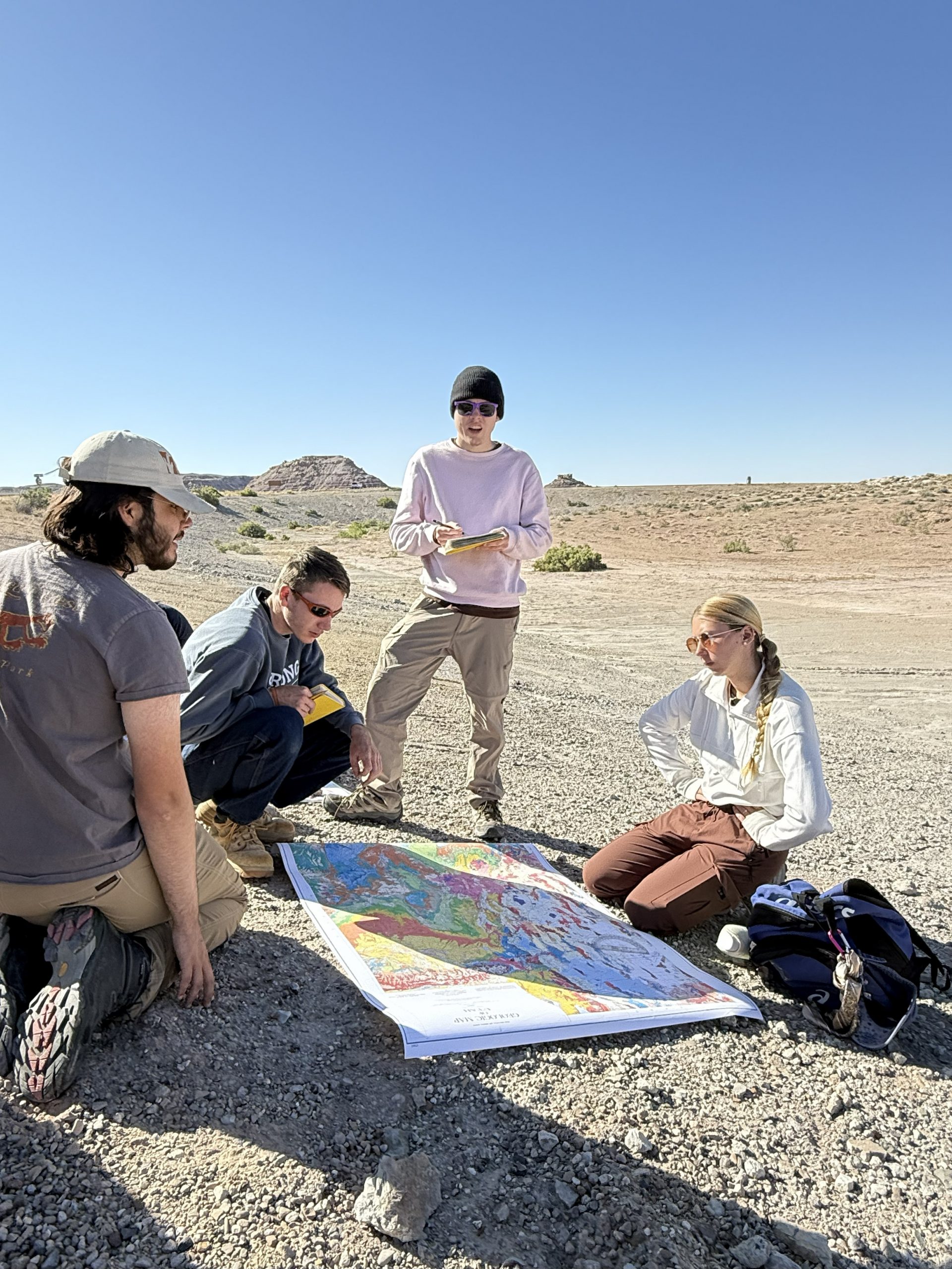
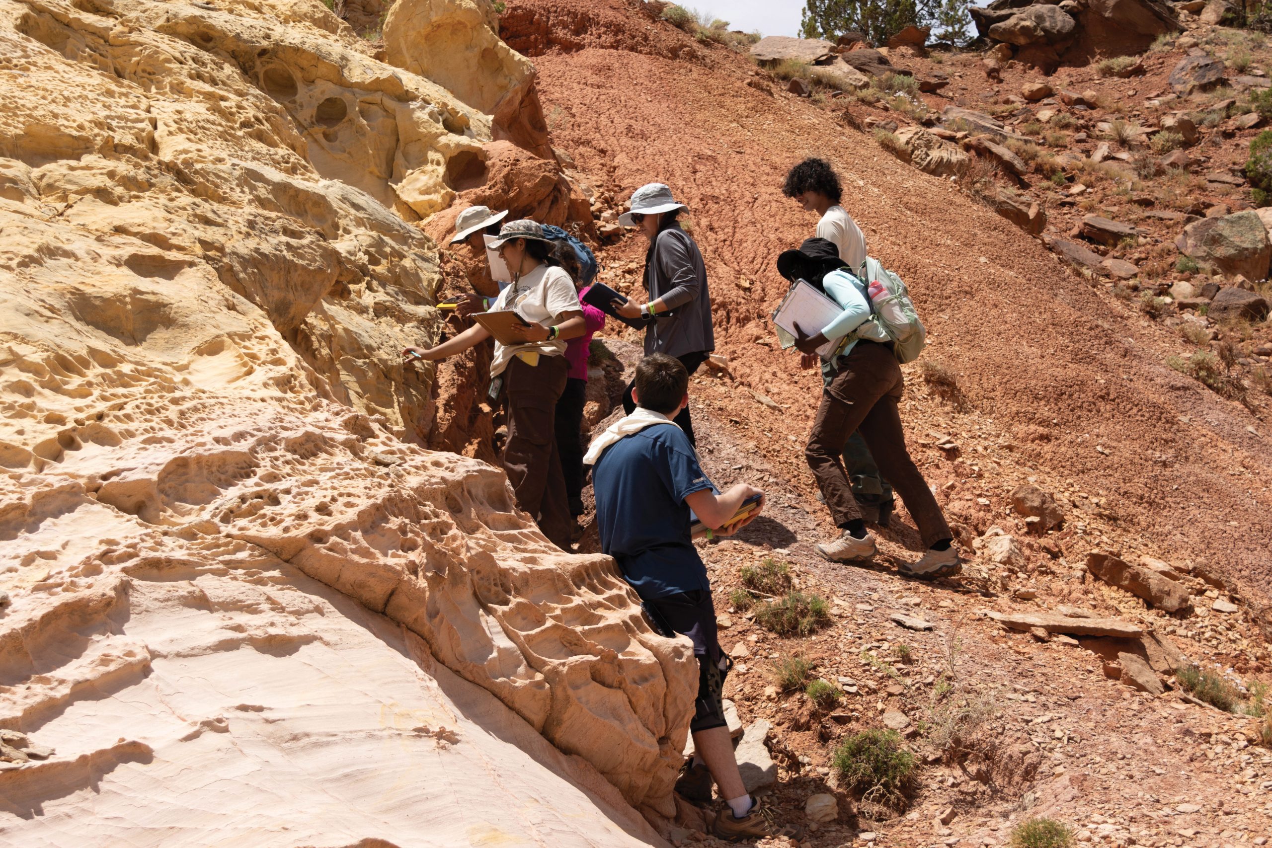
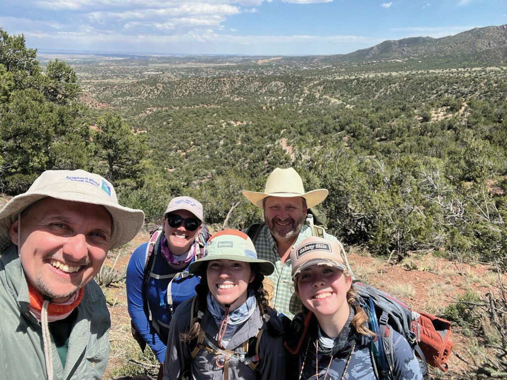
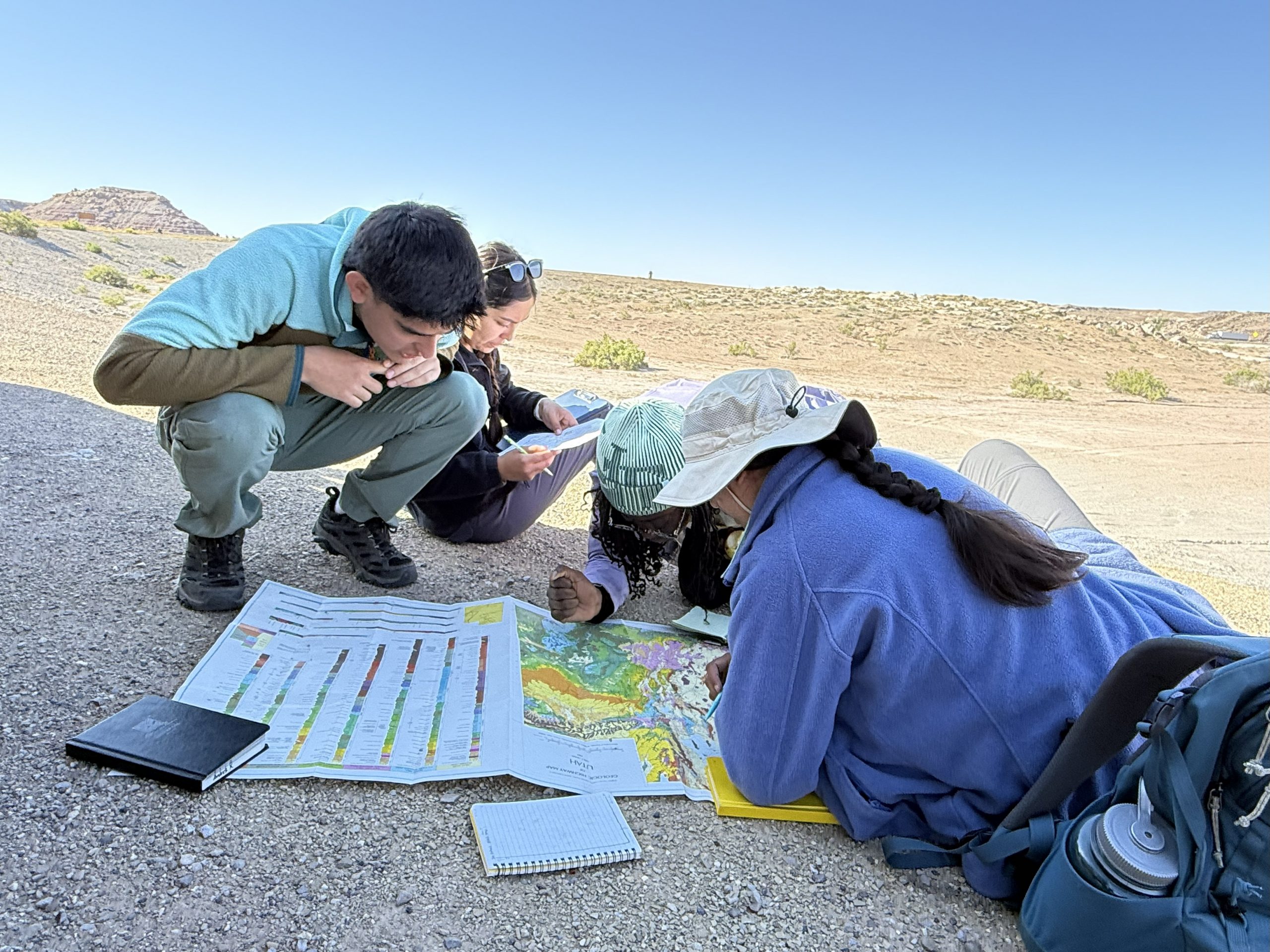
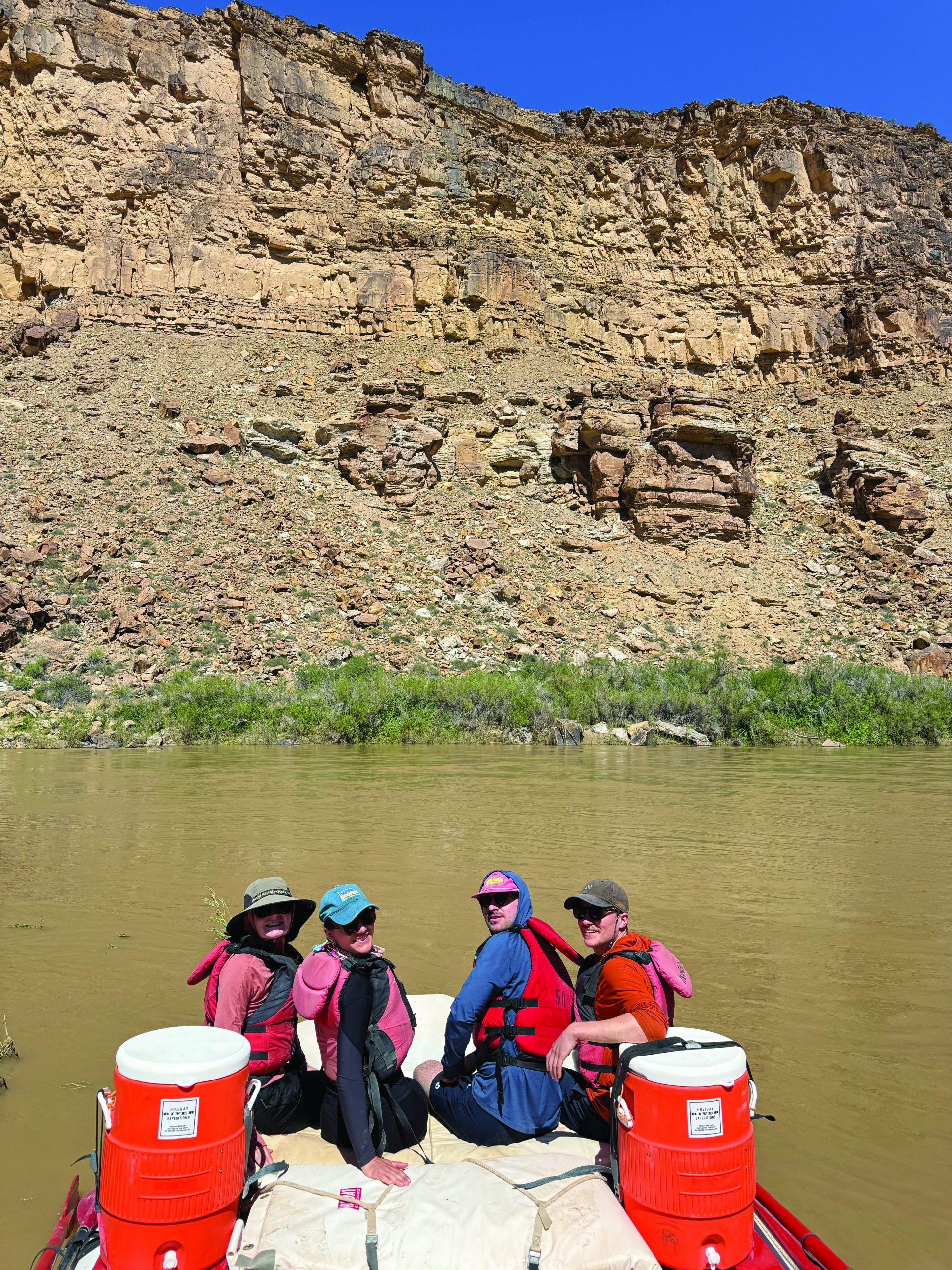
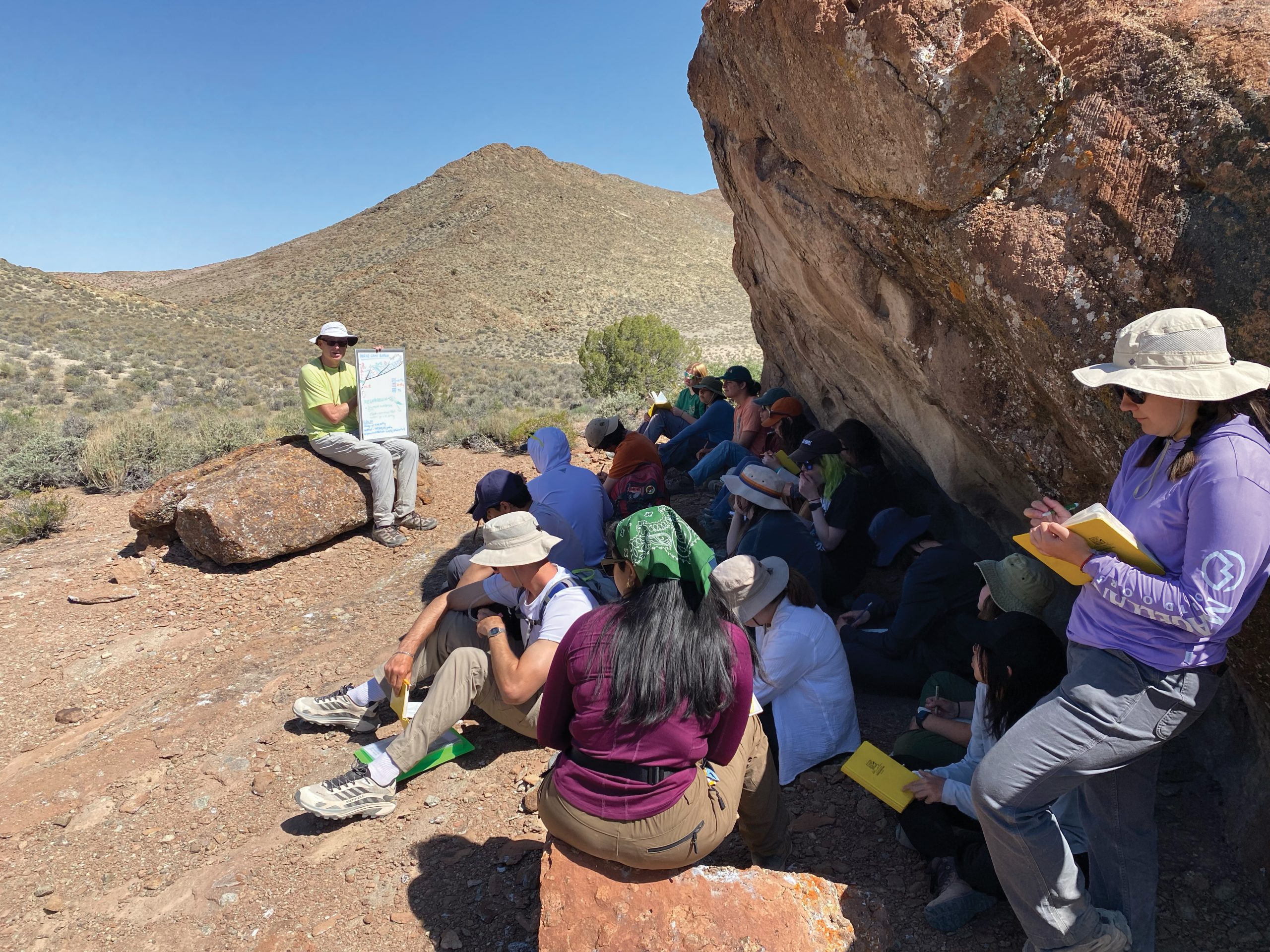
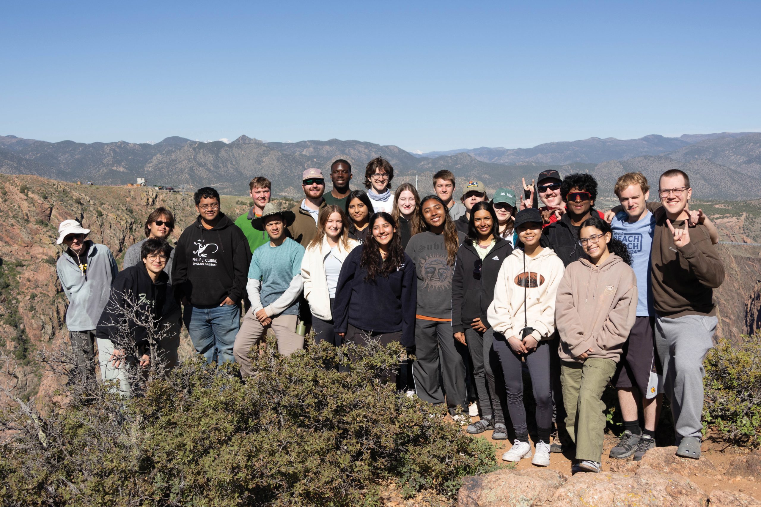
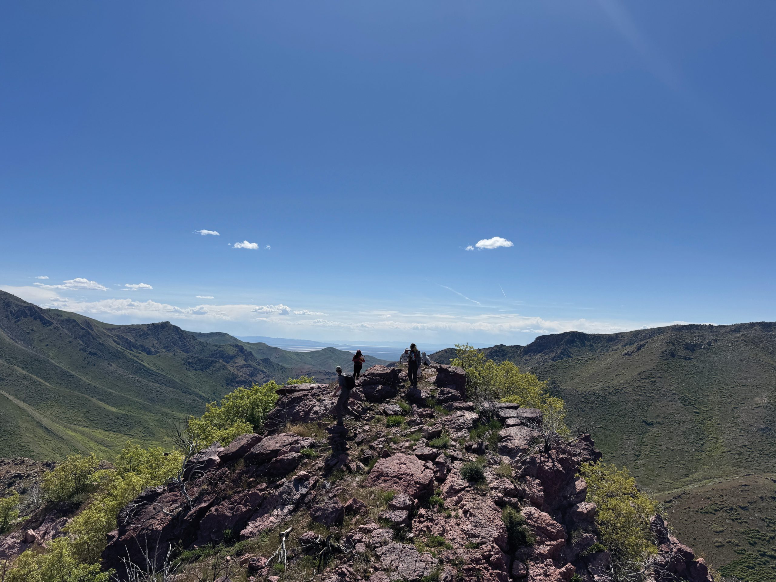
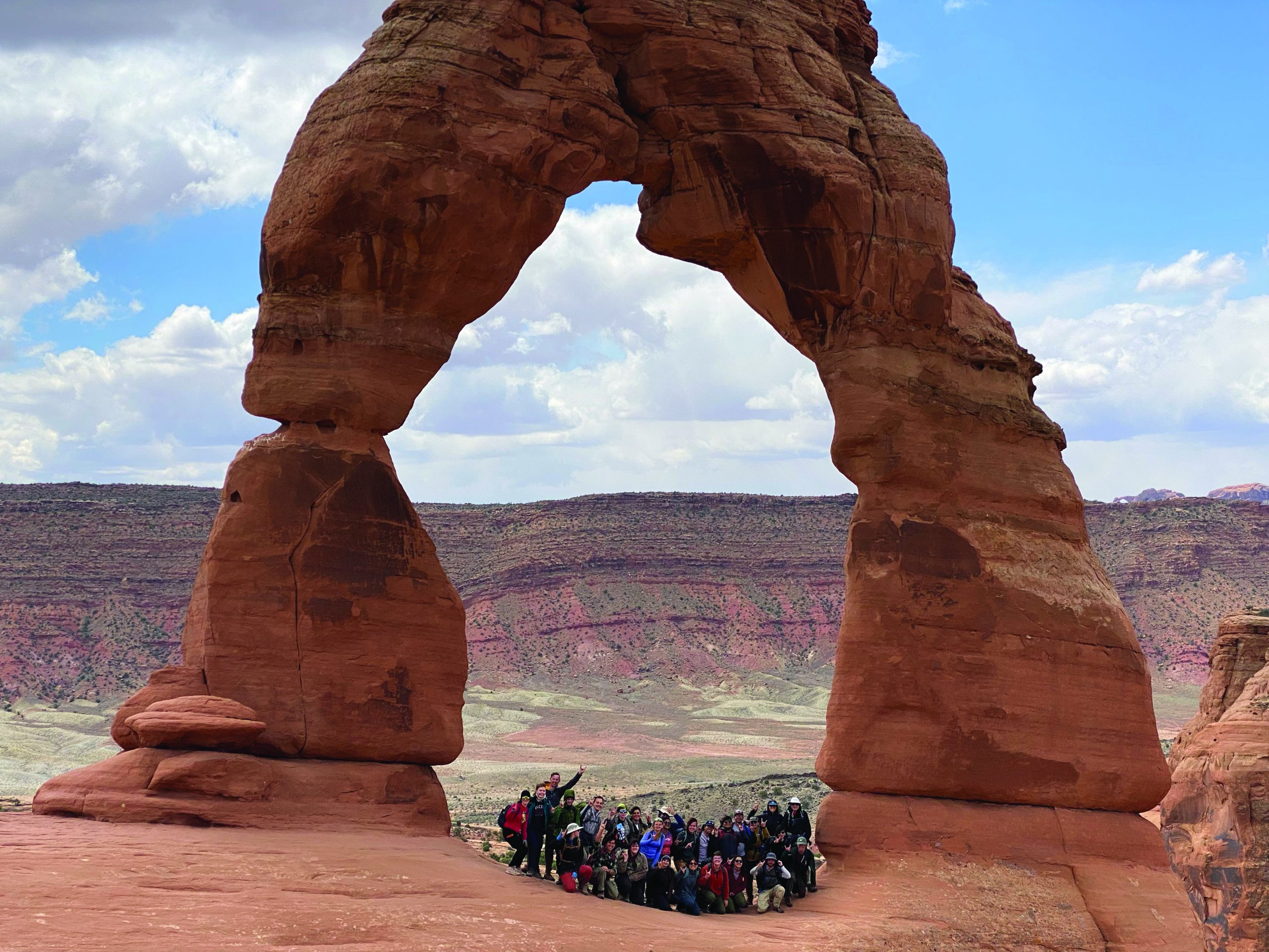
During the May term, 82 Jackson School students participated in the field-based GEO 660A and GEO 660B courses, traveling across the Southwest and Rocky Mountain regions. Sophomores in GEO 660A built core field skills through projects on Precambrian igneous and metamorphic rocks near Cañon City, Colorado, geologic mapping around Abiquiu, New Mexico, and basin analysis of clastic strata in Utah’s Book Cliffs. Juniors and seniors in GEO 660B advanced to complex mapping and tectonic synthesis, with one group working near Cañon City and Moab, Utah, and another spanning Abiquiu, New Mexico, Utah, Nevada’s Snake Range, and Arizona’s Grand Canyon region. The courses together showcase the depth and range of field training that defines geoscience education at the Jackson School.
The University of Texas at Austin
Web Privacy | Web Accessibility Policy | Adobe Reader