Explore the Project
Learn about the science, explore Himalayan lineaments, and discover opportunities to join.
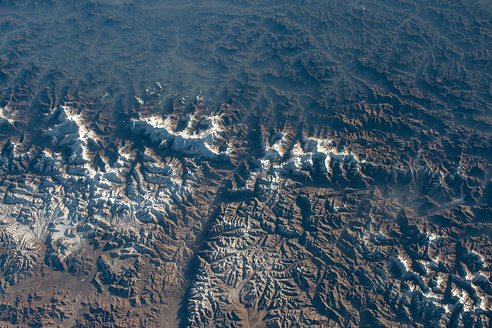
About the Research
Science and Objectives
Learn about the questions driving the Fault or Not? project and how we are investigating Himalayan lineaments, geohazards, and tectonic segmentation.
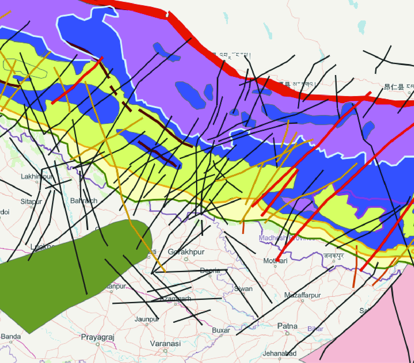
Explore the Lineament Map
Interactive ArcGIS map
Explore our evolving open-access ArcGIS map documenting Himalayan lineaments across the region. The map highlights potentially seismically active lineaments identified in the Himalaya.
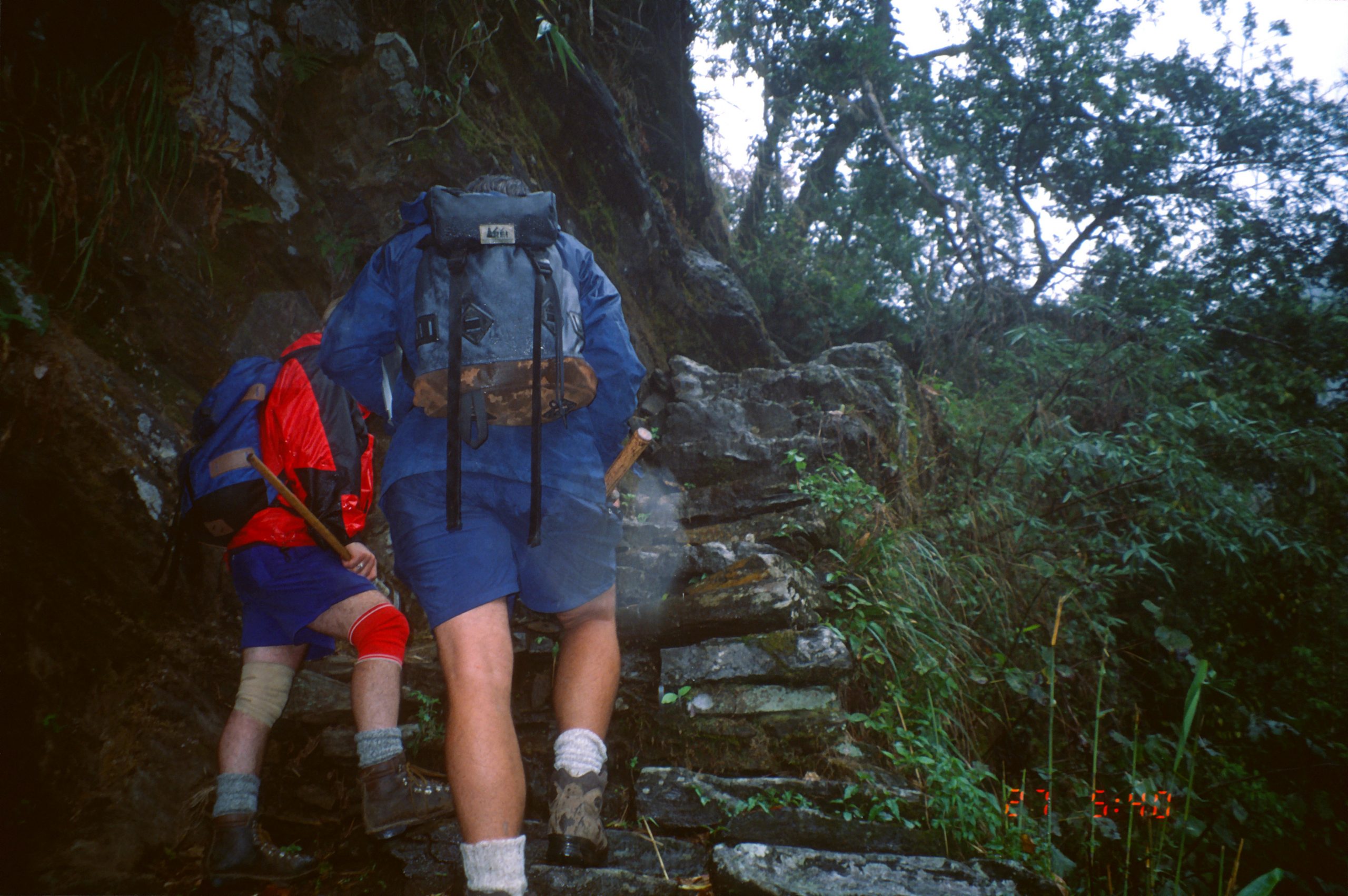
Interested in Joining the Team?
Graduate and Undergraduate Student Opportunities
Interested in ArcGIS, satellite image analysis, geohazards, petrology, or field-based research? Learn about opportunities for graduate and undergraduate students to join the project.
This material is based on work supported by the U.S. National Science Foundation under Grant No. 2548018.
Any opinions, findings, and conclusions or recommendations expressed in this material are those of the author(s) and do not necessarily reflect the views of the National Science Foundation.