Research
Research in the UT Planetary Surface Processes Group spans a range of topics, all linked by a common thread of using quantitative remote sensing analyses to better understand the role of surface processes in controlling the evolution of landscapes on Mars, Earth, and other planetary bodies. Below are brief descriptions of some of the broad areas in which we conduct research.
The Early Mars Sedimentary Rock Record
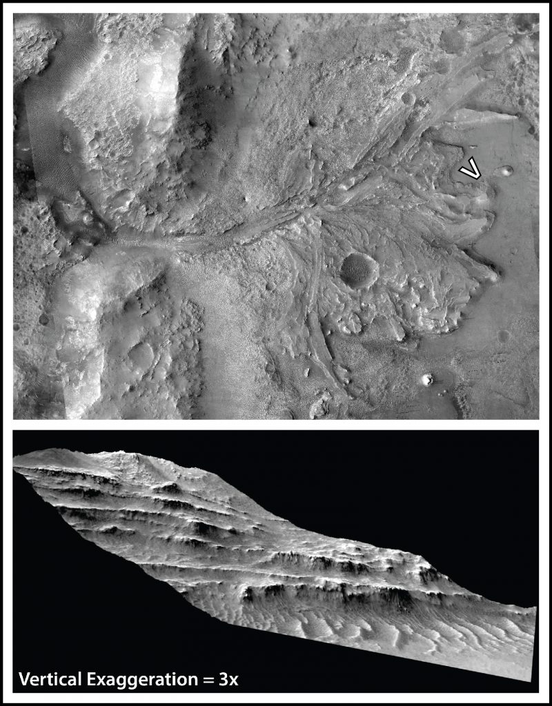
Mars has an extensive sedimentary rock record that preserves information about past surface processes and environments, and how these evolved through time and space. Our research in this area takes advantage of high-resolution digital elevation models (DEMs) and orthorectified images, which can be combined to create outcrop models. From these data we work to quantify the geometries of exposed sedimentary structures with the goal of reconstructing the depositional environment(s) and formative sediment transport conditions.
|
|
Comparative Planetary Surface Processes
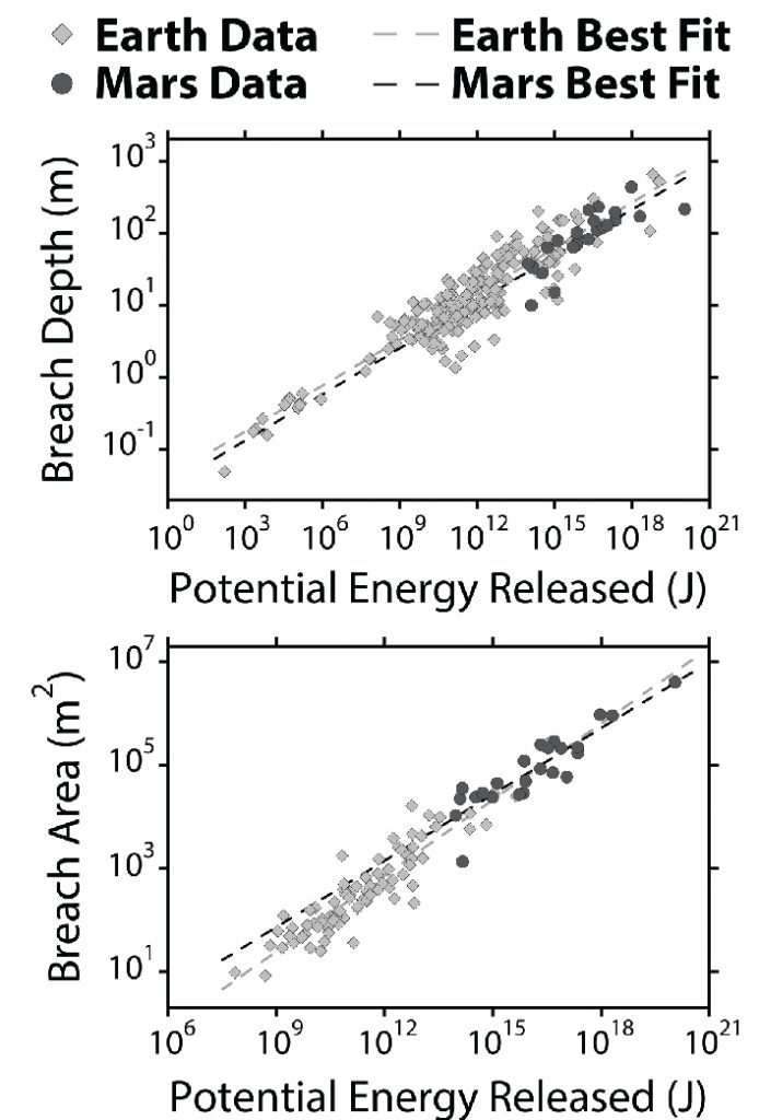
Within our solar system there are multiple bodies that have a record of landscape evolution from surface processes such as aeolian and fluvial activity (e.g., Earth, Mars, Titan). Our group is interested in understanding whether the same fundamental processes acting on different planetary bodies have left distinct (or indistinct) records due to differing boundary conditions (e.g., basin topography predominantly provided by impact craters on Mars vs. Earth). This work also drives our group’s interest in the study of terrestrial analogs for understanding planetary surfaces.
|
Geomorphic Evolution of Paleolake Systems on Mars
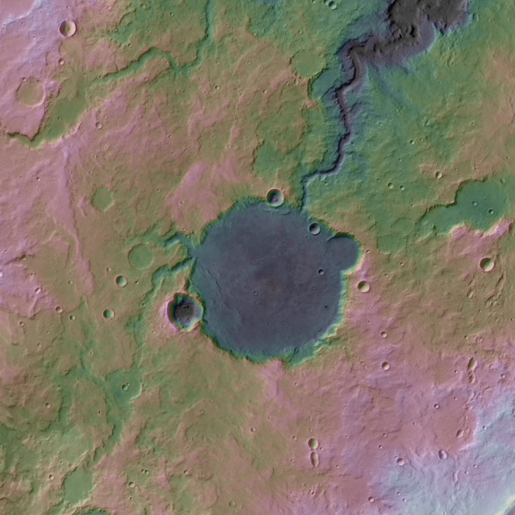
A major record of the presence of ancient surface water on Mars is a widespread catalog of paleolake basins, which acted as depositional centers fed (and sometimes drained) by erosional fluvial valleys. Our group uses orbital datasets, such as topography and images, to unravel the evolution of these paleolakes and their associated inlet and outlet fluvial valley systems. These studies involve analyses of both individual paleolake systems and the global catalog of martian paleolakes.
|
|
Remote Sensing of Sedimentary Systems
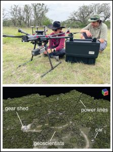
Remote sensing data provide a unique, landscape-scale view of planetary surfaces, which allows one to ask complementary questions to those addressed by other approaches, such as field, experimental, or modeling work. Our group aims to take advantage of these capabilities by integrating remote sensing analyses with field-based studies of sedimentary systems on Earth. Of particular interest is analysis of images and topography collected by small UAVs, and time lapse lidar topography for quantifying surface change. Check out a field write up here!
|
VNIR Spectroscopy of Sedimentary Deposits
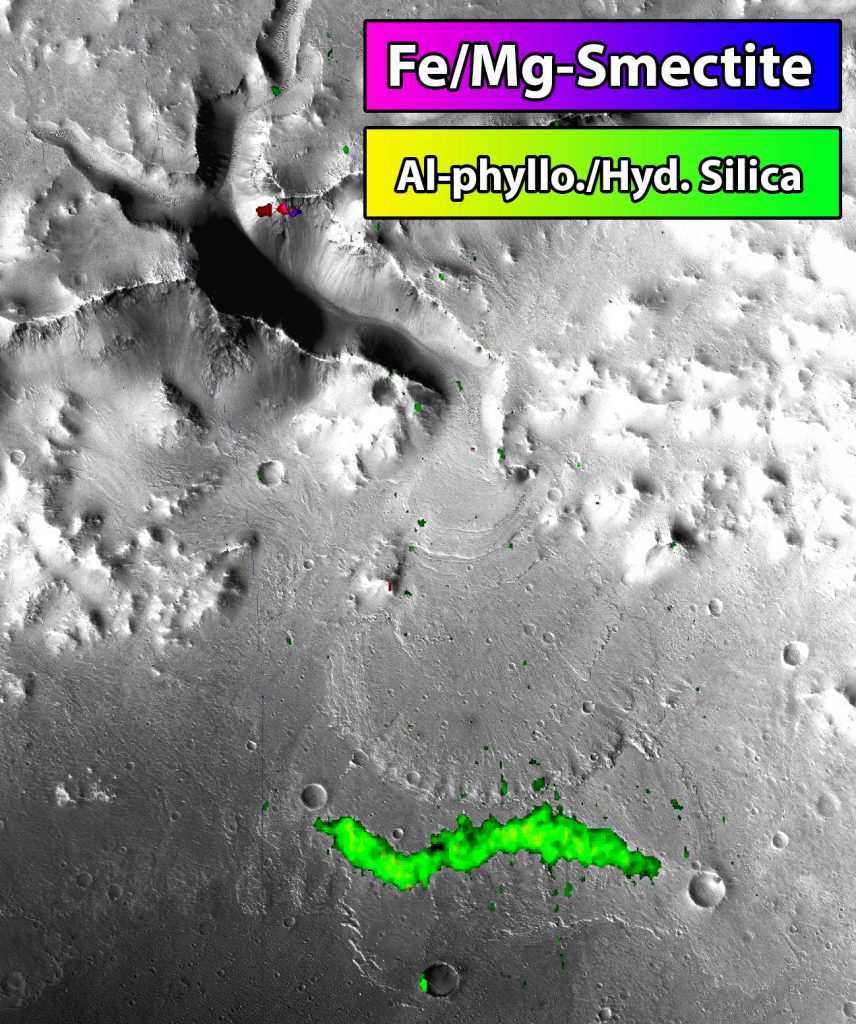
Visible to near-infrared (VNIR) reflectance spectroscopy is a useful tool for both remote and laboratory analysis of the mineralogy of sedimentary deposits. Our group works to understand martian sedimentary mineralogy by studying VNIR hyperspectral image data in the context of outcrop stratigraphy. We are also interested in using VNIR spectroscopy to understand the mineralogy of terrestrial sedimentary deposits to provide proxies for reconstructing past aqueous surface environments.
|
|
 |
For more information on past research on these topics please check out our publications page, and if you have questions on ongoing projects, please feel free to shoot Dr. Goudge an email!
Site Last Modified: April 3, 2024


