October 8, 2020
Field Camp (GEO660) was unique this year due to COVID-19. An enormous amount of planning, precaution, and communication went into making this course happen for the 8 students that needed the class to graduate. To give the Jackson School community a window into the spectacular 3 weeks we spent camping and studying rocks in New Mexico and Wyoming, I thought I’d take you on a photo tour. First and foremost, a HUGE thank you to Dr. Mark Helper and Dean Claudia Mora for the herculean effort made to ensure this class was safe and impactful for the students and faculty involved.
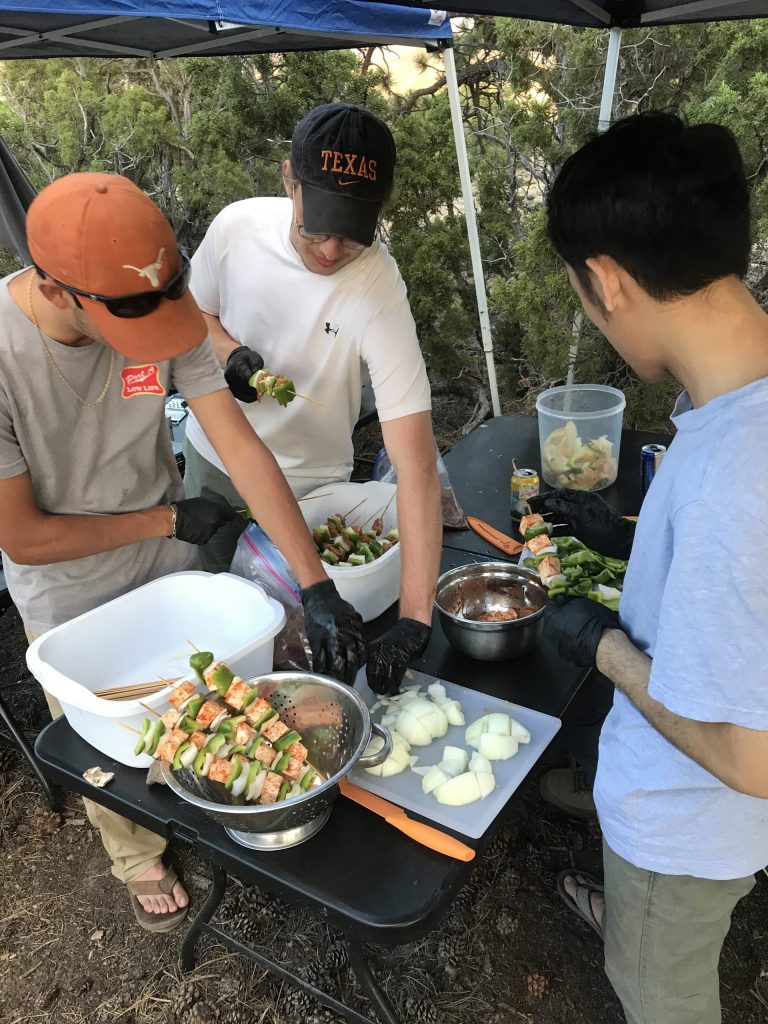
We took extensive precautions to make sure everyone was healthy prior to leaving Austin and during the course. This involved two weeks of quarantine for everyone and then taking COVID-19 tests three days before we left for the field. During our time in the field, we maintained intensive health precautions including low vehicle occupancy, strict gas station safety procedures, and meal planning and shopping lists for 3 weeks of group camping meals to reduce the number of people and time spent in stores.
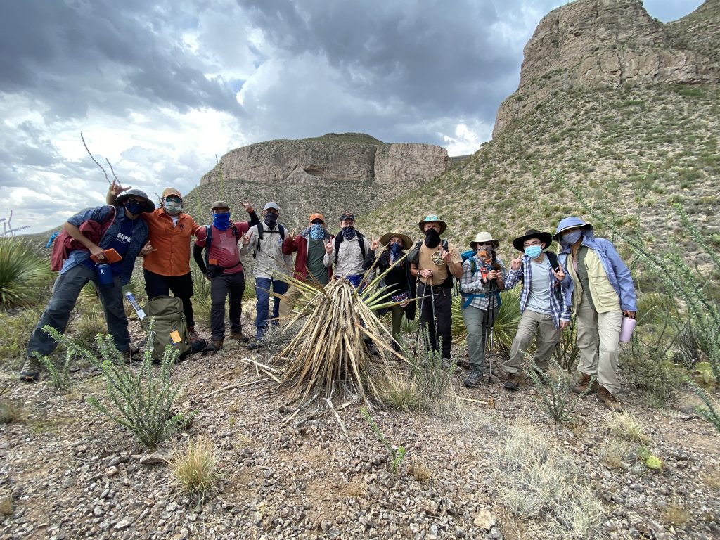
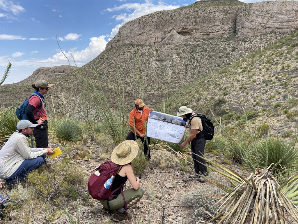
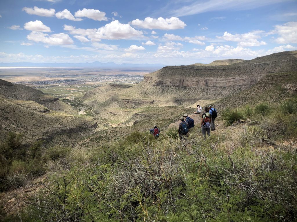
Driving out of Austin, our journey started in New Mexico, where we camped for a week in Lincoln National Forest and studied the geology of the Sacramento Mountains (photos 1-4). Dr. Charlie Kerans developed new projects featuring detailed carbonate and clastic sedimentology which culminated in tectonostratigraphic reconstructions for the Precambrian-Mississippian Tabosa and Pennsylvanian-Permian Orogrande basins.
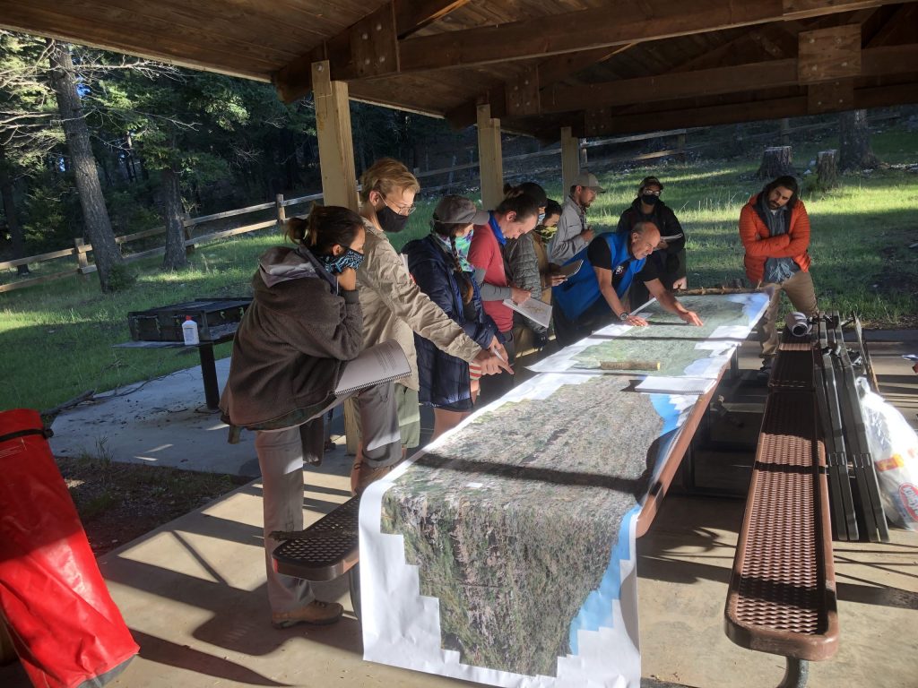
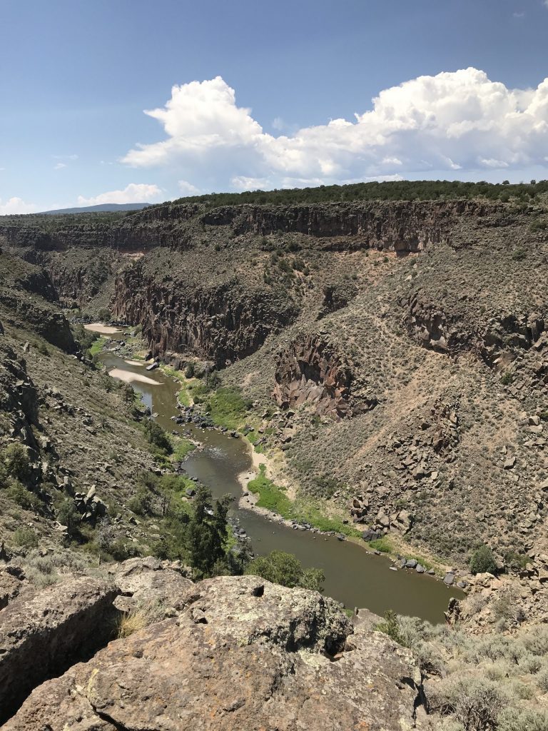
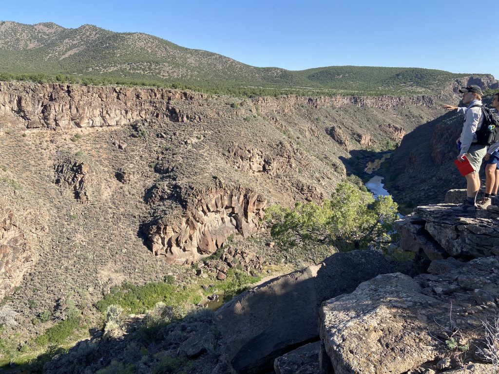
Parting with Dr. Kerans and Abdulah, we headed north to Rio Grande del Norte National Monument, New Mexico where Dr. Mark Helper led a field- and remote sensing imagery-based mapping project on the Taos Plateau Volcanic Field (photos 5-7). For this project the students used iPads to collect field data including the location and orientation of geologic contacts, rock descriptions and field photos. In teams of four, the students developed a plan to map the very large field area with Dr. Helper and myself serving as their chauffeurs! This project is a variation of the field mapping exercise Dr. Helper does for NASA’s astronaut class every four years. The students really knocked it out of the park this year with extraordinary organization and teamwork and produced excellent maps and geologic histories for the Northern Rio Grande Rift area.
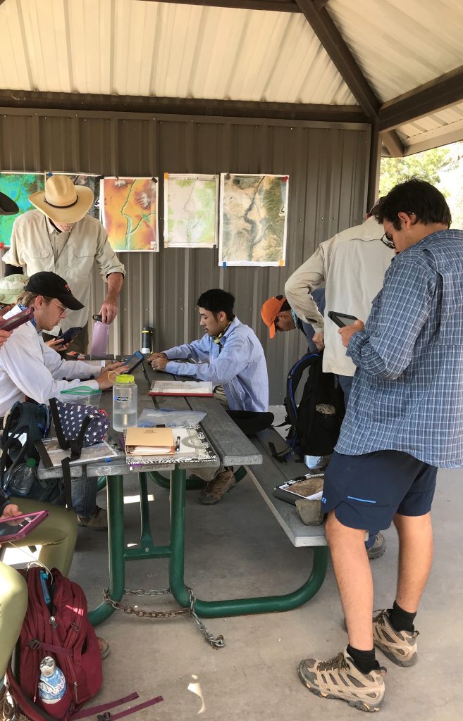
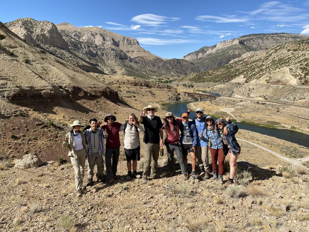
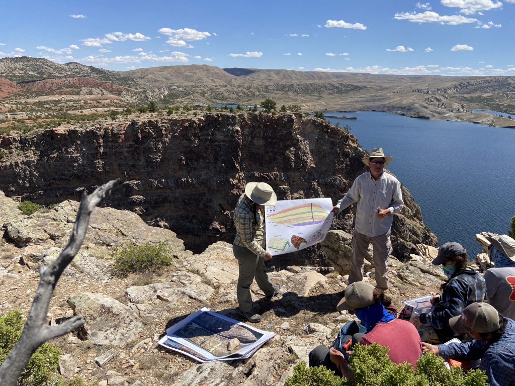
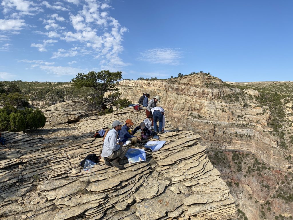
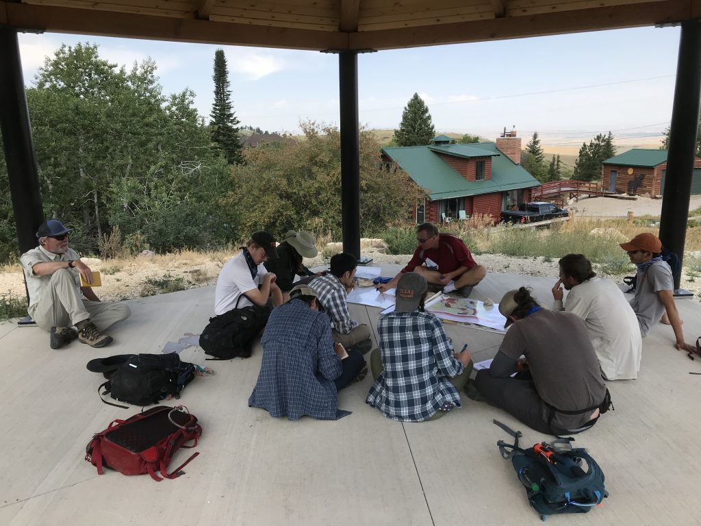
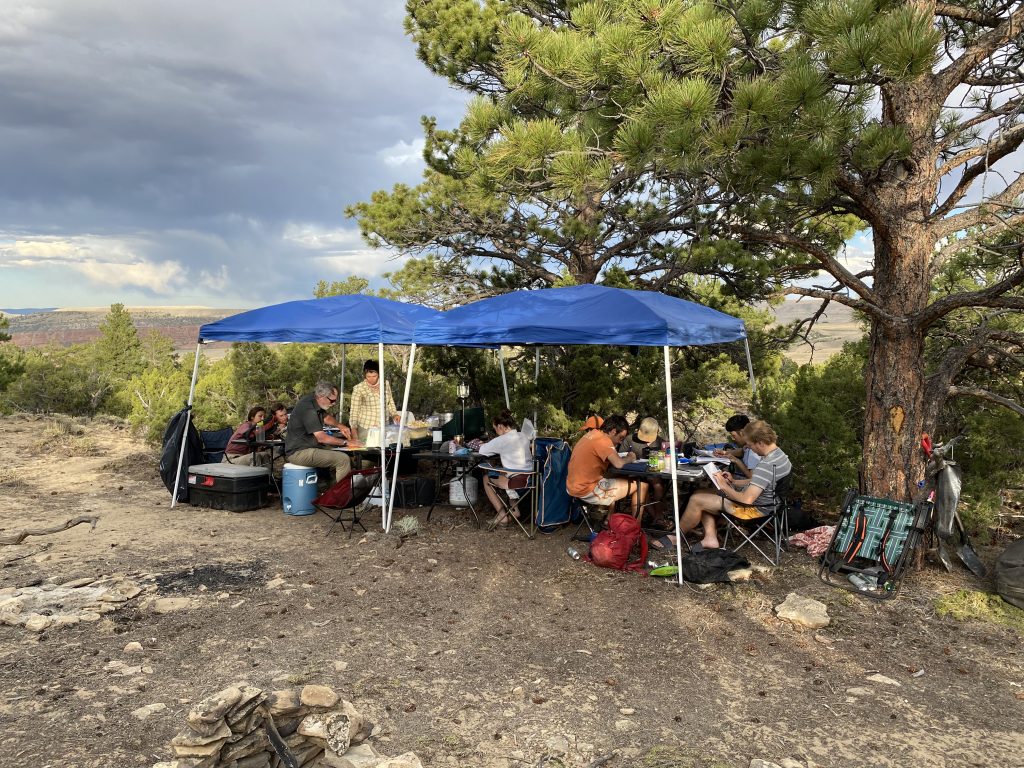
Lastly, we met up with Dr. Peter Hennings in Wyoming where we spent the final 10 days of 660 working the geology of the region with a focus on Laramide Structural Geology, foreland basin architecture and evolution, and geologic mapping skills (photos 8-12). The first project challenged the students in pairs to decipher the geologic history of central Wyoming spanning the formation of the geologic units to development of the present-day landform. Dr. Hennings encouraged the students to lead our morning discussions by posing questions to the group based on their project work and the assigned field guide reading. This set the stage to cover a lot of ground both physically and conceptually during the remainder of the course. Next, a detailed local project honed mapping, cross section, and project management skills. Using reflection seismic data and field observations the students interpreted the general architecture and evolution some of Wyoming’s foreland basins they constructed a structural transect across the northern boundary of the state.
The students produced exceptional products during the three-week class, a true testament to the dedication of Mark Helper, Charlie Kerans, and Peter Hennings to the success of the course. The Jackson School field camp is unique in the number of places we visit, the variety of projects, and the expertise of faculty leaders. The excellence in field training these students receive is truly a source of pride for the department! In typical years, different faculty rotate through teaching projects in their area of expertise during the six-week course. Teaching field camp is always the highlight of my year. I highly encourage graduate students interested in becoming field-educators to TA for Dr. Helper (GEO440K, GEO660A-B): it is not only a master course in how to run an effective field program, but also an opportunity to work with a variety of faculty in the department. You never know who your future collaborators and mentors might be!