Stocked with drones, virtual reality goggles, and computers outfitted with 3D visualization software, the TxDRONE Laboratory gives students all the tools they need to capture their field work permanently, in three-dimensional detail.
Whether you would like to learn how to operate drones and process the imagery, view outcrops in virtual reality, or check out a drone or GPS unit for data collection, this lab has what you need.
Lab location: JGB 6.142
Inventory
UAV
8x DJI Mavic 3
- 43 minutes max flight time, Hasselblad Camera: 4/3 CMOS, Effective Pixels: 20 MP, 5.1K video at 50fps
- 34 minutes max flight time, Effective Pixels: 12 MP, 3video at 30fps
- M2ED Thermal Camera
- M2ED Visual Camera
GPS
- Paired Base and Rover for GPS Collection
PC and Peripherals
5x Workstations
Loaded on these workstations are software packages related to GIS, SFM, and data visualization:
5x Meta VR Goggles
- For visualization of outcrop models
- Controllers for DJI units and Reach GPS units, software installed: DJI Fly, Reachview
Instructions for requesting use, assistance, training
For use of any equipment, training, or general assistance or questions regarding the TxDRONE Lab contact Josh Lambert (josh.lambert@beg.utexas.edu).
Please provide two weeks lead-up to schedule equipment checkouts. If training is required, please allow additional time to schedule a training session.
For equipment checkout requests, provide the following information:
- Checkout dates, including when equipment will be picked up and returned
- Field location where gear will be used
- If you’re a student, include your advisor on the initial email
Faculty supervisor: Tim Goudge
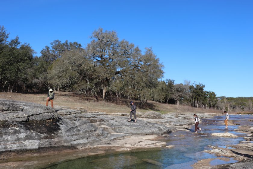
Use your mouse to manipulate this model and explore it in 3D! Burro Seep Channel is rendered in three dimensions thanks to a compilation of photos taken by drone. Image courtesy of Tim Goudge.
Geology by Drone
Drone lab gives students access to indispensable tools to help document the Earth and other planets.
One hundred and twenty million years ago, when much of Texas was a shallow ocean, some unexpected places hundreds of miles from our current coastline made up its beach. As eras passed, the Earth crashed into itself, the water receded, and Texas became land… Read more