

The Devil's Eye
In the First Annual Report of the Geological Survey of Texas, R.A.F. Penrose states that "Four miles below the beginning of this fossiliferous area we come to what is locally known as the Devil's Eye, an eddy at a low ledge ...". In Penrose’s handwritten field notes we have even more information: "2 miles below McDonalds Bluff is the Devil's Eye – an eddy made at a small peninsula of the same formation as at the next bluff below McDonald’s."
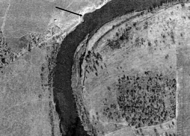
This 1951 image of the area shows the likely location of the Devil's Eye
Based on these clues, geologists have identified the most likely location of The Devil's Eye. As indicated in the 1951 aerial image to the right, The Devil's Eye was a swirling eddy that widened the Colorado River at one point. However, over time the river has changed and this eddy is not nearly as visible as it once was (To see current pictures, visit Then and Now).
Find out more about this historic location by reading Louis Zachos's narrative about his journey here.
To learn more about the Geology of central Texas and the Colorado river, click here.