
Studying Alaska’s Glaciers from Land and Air
November 20, 2017
I am in Alaska surveying glaciers for NASA’s Operation IceBridge. I work with Chris Larsen and Martin Truffer of the Geophysical Institute at the University of Alaska, Fairbanks (UAF).
Chris is the principal investigator and Martin and I are co-investigators on the project. UAF has a decades-long history of monitoring the surface elevation of Alaskan glaciers using airborne LIDAR, and we are continuing that tradition with the addition of radar sounding to measure the thickness of the ice. That’s my main responsibility. It’s quite a challenge to sound Alaskan glaciers because they are warm, wet, heavily crevassed and usually close to mountains and valley walls that reflect the radar energy, obscuring echoes from the base of the glaciers. But it is all new information and important for understanding the rapidly changing ice of Alaska, so it’s also rewarding work.
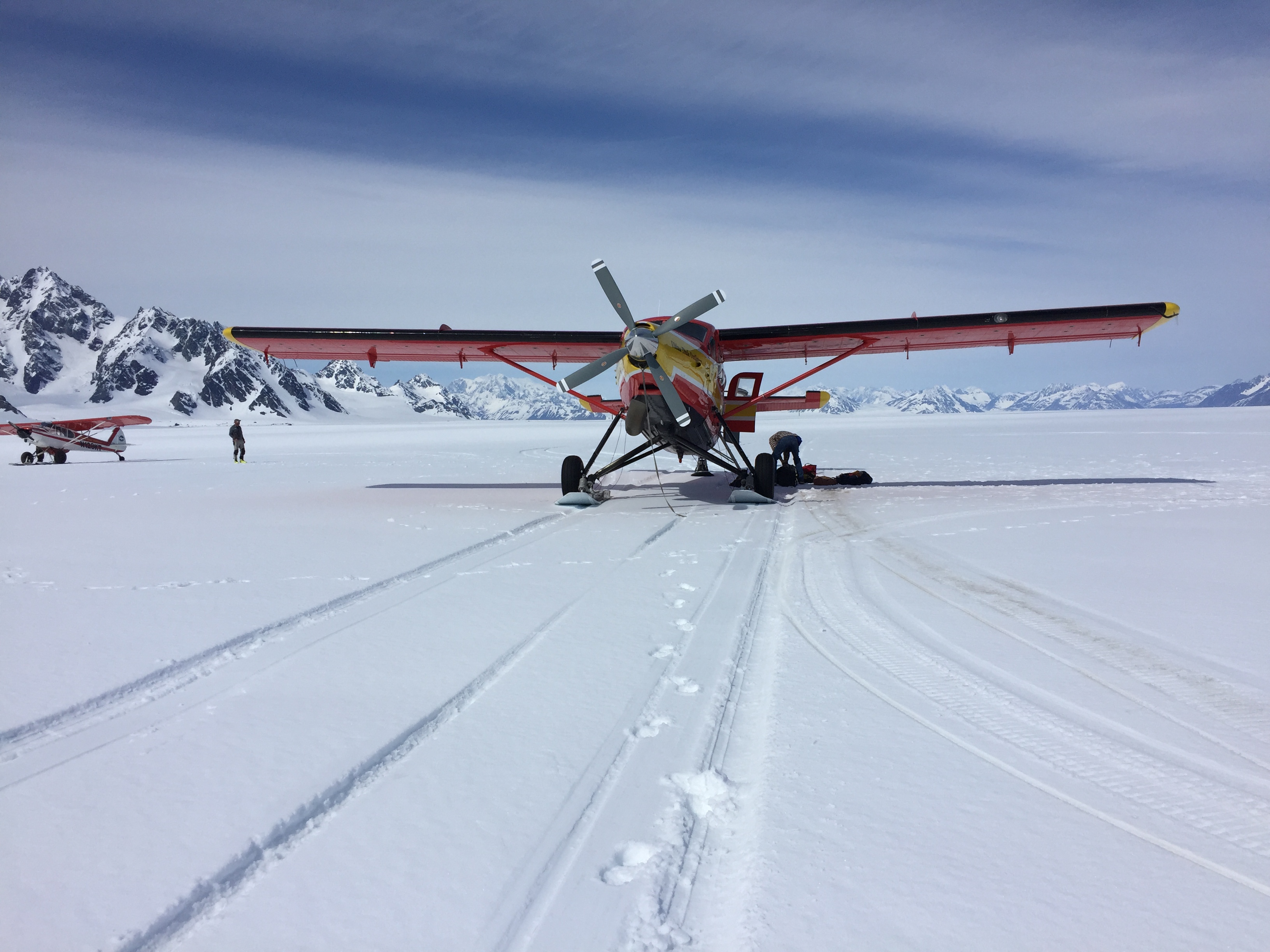
In order to do this, we outfitted a turbine Otter aircraft that operates on wheel-skis so we can land on hard surfaces or snow, as needed. We sometimes land on glaciers just to have a convenient spot to add fuel from drums. Our “home base” is a remote lodge that is only accessible by bush aircraft, nestled against the Chitina River and surrounded by Wrangell- St. Elias National Park. Paul Claus of Ultima Thule Outfitters owns and pilots the Otter, and he is one of the most experienced bush pilots in Alaska. This is important due to the steep terrain, some of the steepest in the world, and rapidly changing weather with the potential for strong winds and turbulence at any time.
From this outpost in the wilderness we cover all of the major Alaskan glaciers, from the Juneau icefield in the southeast to the Kenai Peninsula in the west. We put in some very long days when weather is good, and can rarely make specific plans beyond what the 24-hour weather forecast holds. Even then, it is often a matter of heading out for a flight half expecting to turn back. When it’s clear and calm, it is some of the most spectacular scenery anywhere.
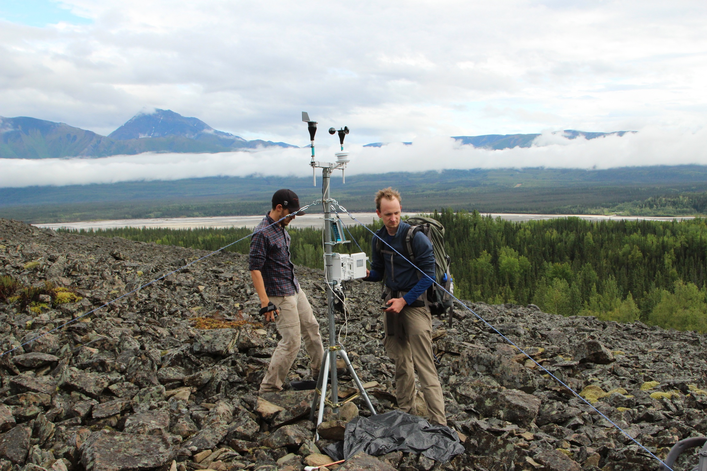
When we are grounded but local weather is okay, I try to fit in some work on nearby debris-covered glaciers for Mars analog work. Just today I flew out to a nearby airstrip and hiked up to a debris-covered glacier where my students Eric Petersen and Stefano Nerozzi have conducted a great deal of surface geophysics. I checked on a weather station we installed to make sure it’s operational before winter sets in.
A nice way to spend a “day off.” As long as I don’t encounter a grizzly up close.
Jack Holt
Research Professor, University of Texas Institute for Geophysics.
Back to the Newsletter