Tsunami Risk Higher in Los Angeles, Other Major Cities
October 10, 2010
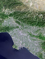
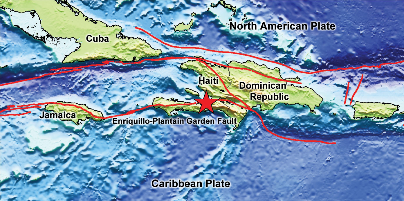
Geologists studying the Jan. 12 Haiti earthquake say the risk of destructive tsunamis is higher than expected in places such as Kingston, Istanbul, and Los Angeles.
Like Haiti’s capital, these cities all lie near the coast and near an active geologic feature called a strike-slip fault where two tectonic plates slide past each other like two hands rubbing against each other.
Until now, geologists did not consider the tsunami risk to be very high in these places because when these faults rupture, they usually do not vertically displace the seafloor much, which is how most tsunamis are generated. This latest research suggests even a moderate earthquake on a strike-slip fault can generate tsunamis through submarine landslides, raising the overall tsunami risk in these places.
“The scary part about that is you do not need a large earthquake to trigger a large tsunami,” said Matt Hornbach, research associate at The University of Texas at Austin’s Institute for Geophysics and lead author on a paper describing the research in the Oct. 10 online edition of the journal Nature Geoscience.
“Organizations that issue tsunami warnings usually look for large earthquakes on thrust faults,” said Hornbach. “Now we see you don’t necessarily need those things. A moderate earthquake on a strike-slip fault can still be cause for alarm.”
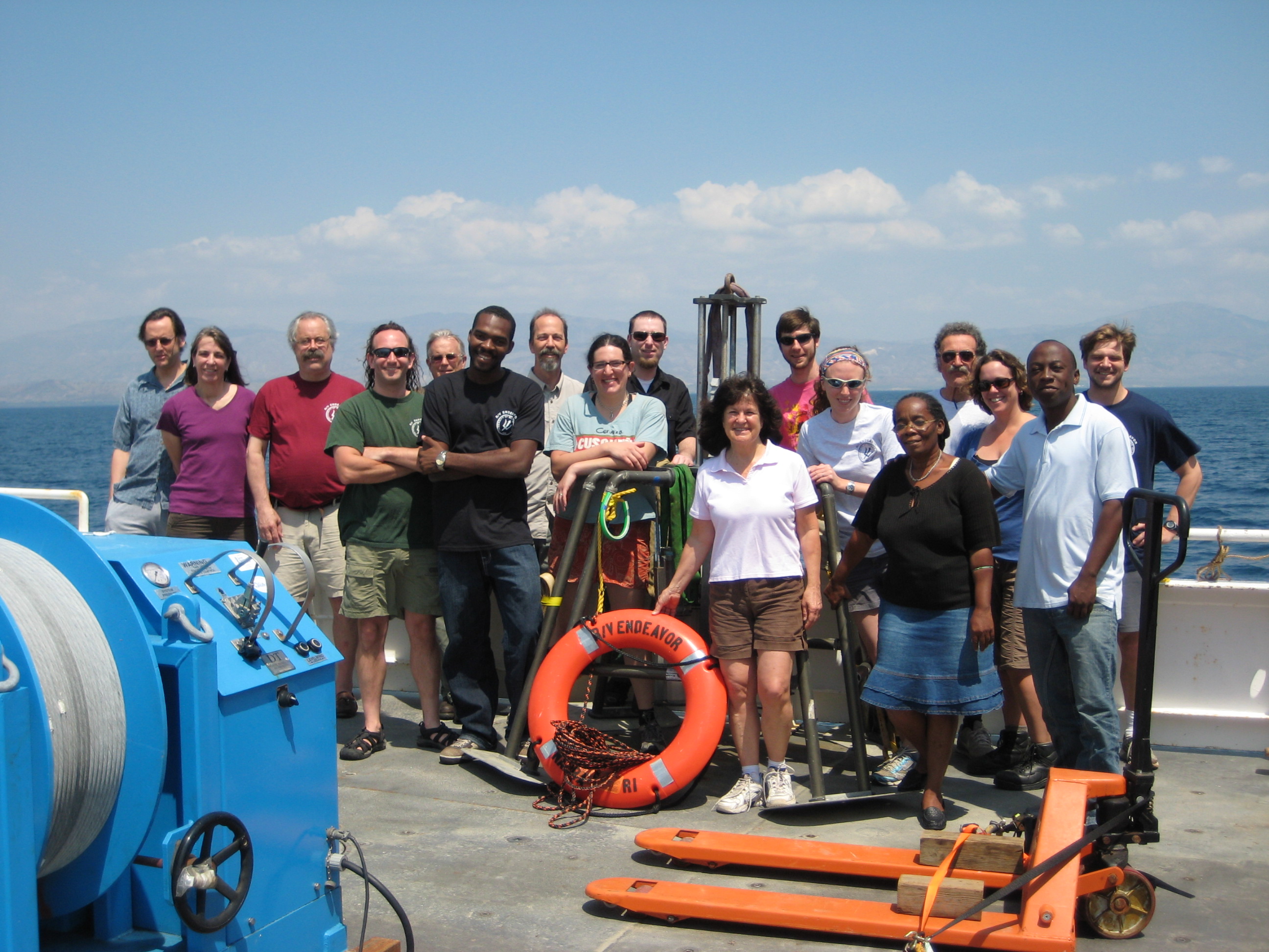
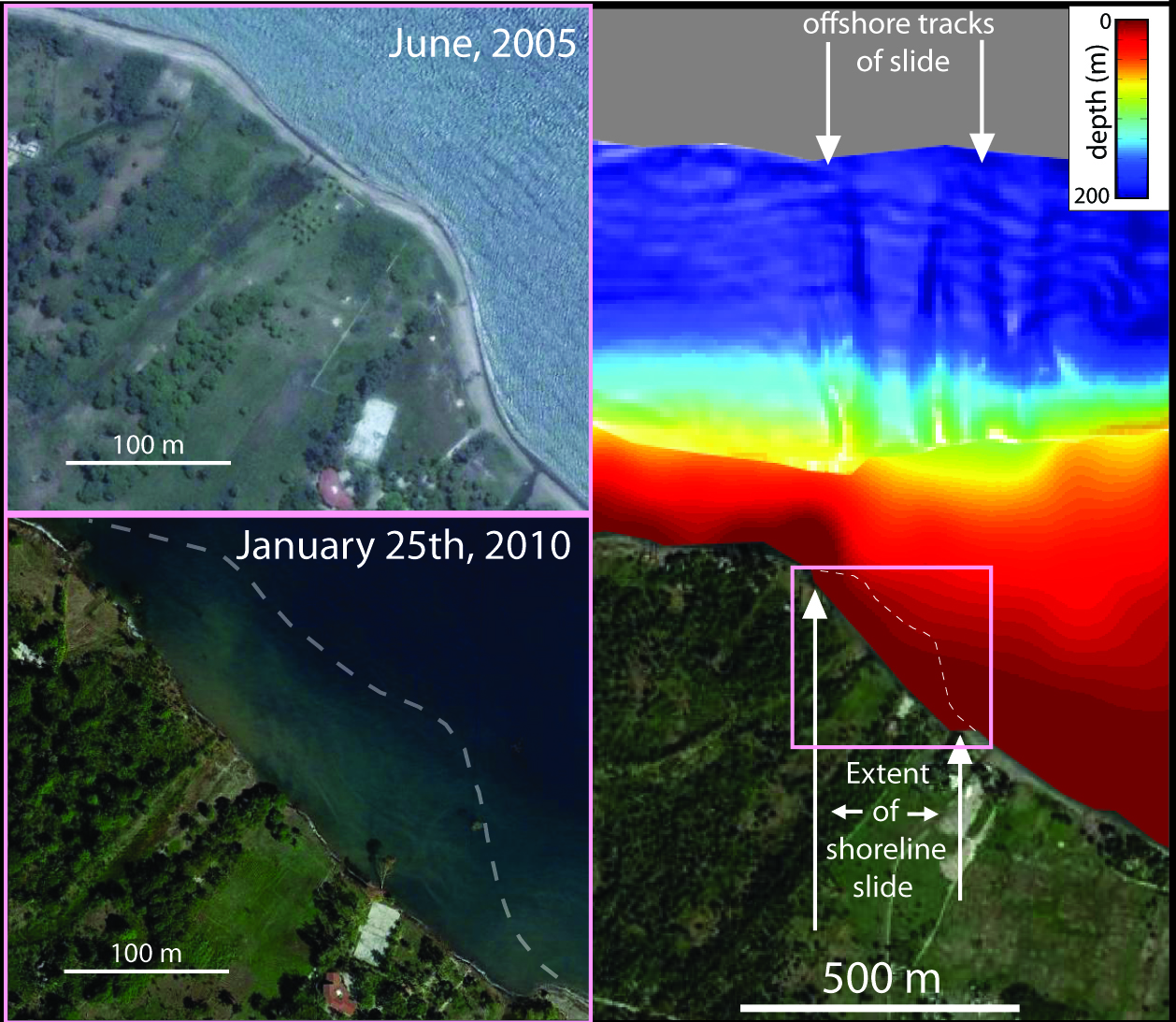
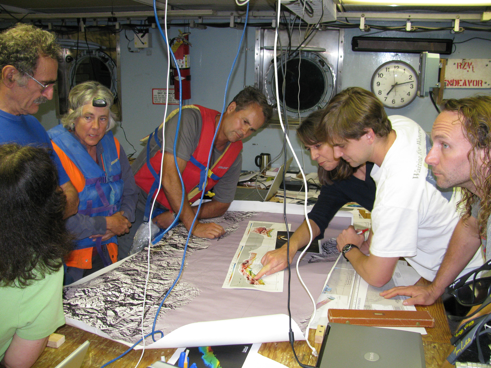
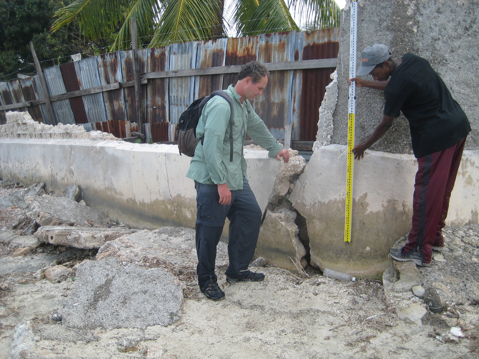
Within minutes after the magnitude 7 Haiti earthquake, a series of tsunami waves, some as high as 9 feet (3 meters), crashed into parts of the shoreline. A few weeks later, a team of scientists from the U.S. and Haiti conducted geological field surveys of sites on and offshore near the quake’s epicenter.
The scientists determined the tsunamis were generated primarily by weak sediment at the shore that collapsed and slid along the seafloor, displacing the overlying water. Combined with newly discovered evidence of historic tsunamis, the survey revealed a third of all tsunamis in the area are generated in this way. Geologists had previously estimated only about 3 percent of tsunamis globally are generated through submarine landslides.
“We found that tsunamis around Haiti are about 10 times more likely to be generated in this way than we would have expected,” said Hornbach.
In addition to Hornbach, team members from The University of Texas at Austin include: Paul Mann, Fred Taylor, Cliff Frohlich, Sean Gulick and Marcy Davis. The team also includes researchers from Queens College, City University of New York; U.S. Geological Survey, University of Missouri; Lamont-Doherty Earth Observatory of Columbia University; University of California, Santa Barbara; Bureau of Mines and Energy (Haiti); and Universite d’Etat de Haiti.
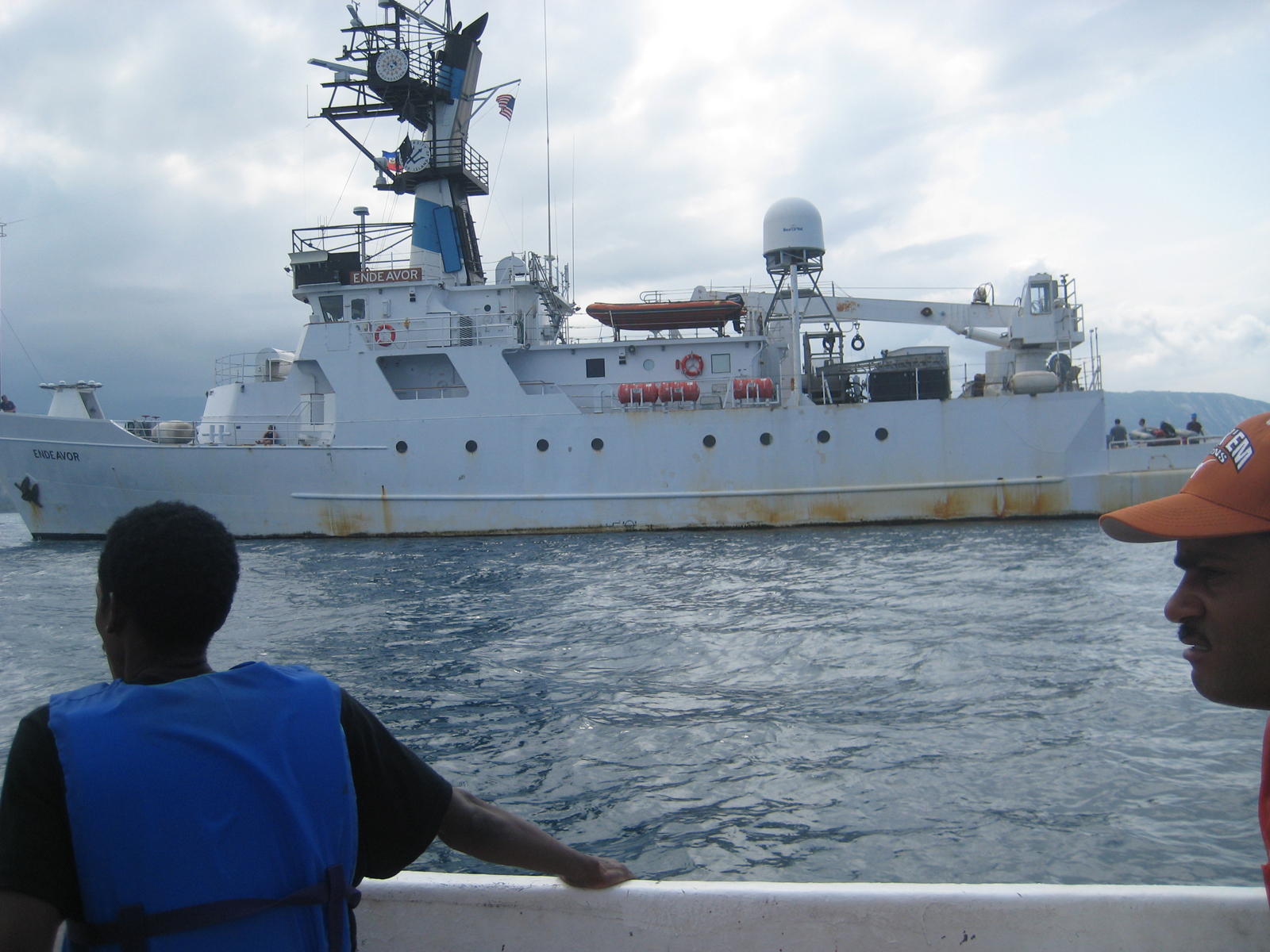
The researchers gathered data on faults beneath the seafloor and land, vertical movement of the land, bathymetry (underwater topography) of the seafloor and evidence of tsunami waves. They worked on foot, on a small inflatable boat and on the 165-foot research vessel Endeavor.
This research was funded by a Rapid Response grant from the National Science Foundation and The University of Texas at Austin’s Jackson School of Geosciences.
With additional funding from The Society for Geophysics’ Geoscientists Without Borders program, Hornbach and others are now conducting a new research project in nearby Jamaica to assess the tsunami threat there.
“The geology of Kingston, Jamaica is nearly identical to Port Au Prince, Haiti,” said Hornbach. “It’s primed and ready to go and they need to prepare for it. The good news is, they have a leg up because they’re aware of the problem.”
For more information about research at the Jackson School, contact J.B. Bird at jbird@jsg.utexas.edu, 512-232-9623.
Images for Reporters (click to download high resolution versions):
|
|
|
|
|
|
|
|
|